9 Seaview Dr Plymouth, MA 02360
Estimated Value: $642,000 - $1,076,530
2
Beds
1
Bath
1,170
Sq Ft
$728/Sq Ft
Est. Value
About This Home
This home is located at 9 Seaview Dr, Plymouth, MA 02360 and is currently estimated at $851,883, approximately $728 per square foot. 9 Seaview Dr is a home located in Plymouth County with nearby schools including Indian Brook, Plymouth South Middle School, and Plymouth South High School.
Ownership History
Date
Name
Owned For
Owner Type
Purchase Details
Closed on
May 27, 2014
Sold by
Reggiani Leonard J and Reggiani Carol J
Bought by
Zaniboni Pamela J
Current Estimated Value
Purchase Details
Closed on
Jul 18, 2008
Sold by
Michael Richard C and Michael Virginia C
Bought by
Guarente Leonard P and Stoyanova Borislav K
Purchase Details
Closed on
Aug 7, 1998
Sold by
Old Farm Road T and Carbone
Bought by
Michael Richard C and Michael Virginia C
Create a Home Valuation Report for This Property
The Home Valuation Report is an in-depth analysis detailing your home's value as well as a comparison with similar homes in the area
Home Values in the Area
Average Home Value in this Area
Purchase History
| Date | Buyer | Sale Price | Title Company |
|---|---|---|---|
| Zaniboni Pamela J | -- | -- | |
| Guarente Leonard P | $465,000 | -- | |
| Michael Richard C | $147,000 | -- |
Source: Public Records
Mortgage History
| Date | Status | Borrower | Loan Amount |
|---|---|---|---|
| Previous Owner | Michael Richard C | $15,000 |
Source: Public Records
Tax History Compared to Growth
Tax History
| Year | Tax Paid | Tax Assessment Tax Assessment Total Assessment is a certain percentage of the fair market value that is determined by local assessors to be the total taxable value of land and additions on the property. | Land | Improvement |
|---|---|---|---|---|
| 2025 | $11,780 | $928,300 | $527,200 | $401,100 |
| 2024 | $10,930 | $849,300 | $479,900 | $369,400 |
| 2023 | $7,945 | $579,500 | $435,200 | $144,300 |
| 2022 | $8,033 | $520,600 | $410,300 | $110,300 |
| 2021 | $8,149 | $504,300 | $410,300 | $94,000 |
| 2020 | $8,459 | $517,400 | $410,300 | $107,100 |
| 2019 | $8,033 | $485,700 | $383,000 | $102,700 |
| 2018 | $7,506 | $456,000 | $355,600 | $100,400 |
| 2017 | $7,398 | $446,200 | $355,600 | $90,600 |
| 2016 | $7,252 | $445,700 | $355,100 | $90,600 |
| 2015 | $6,696 | $430,900 | $340,300 | $90,600 |
| 2014 | $6,467 | $427,400 | $340,300 | $87,100 |
Source: Public Records
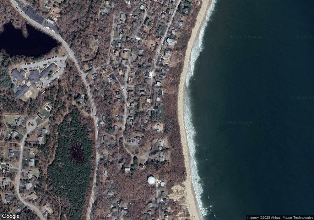
Map
Nearby Homes
- 11 Ellisville Dr
- 55 Ellisville Dr
- 68 Ellisville Dr
- 26 Goelette Dr
- 32 Shore Dr
- 9 Kingston Rd
- 107 Shore Dr
- 5 Trask Rd
- 35 Trask Rd
- 12 Mayflower Dr
- 43 Pond View Cir
- 3 Hiawatha Rd
- 24 Drum Dr Unit 24
- 40 Drum Dr Unit 40
- 30 Nautical Way
- 115 Andrews Way
- 91 Miter Dr Unit 18-1
- The Hickory Plan at Alden's Reach - Attached & Detached Single Family Homes
- 91 Miter Dr Unit 3-2
- The Spruce Plan at Alden's Reach - Attached & Detached Single Family Homes
- 9 Seaview Dr
- 10 Seaview Dr
- 3 Seaview Dr
- 15 Seaview Dr
- 6 Seaview Dr
- 19 Sole Rd
- 25 Ellisville Dr
- 27 Ellisville Dr
- 29 Ellisville Dr
- 21 Ellisville Dr
- 19 Seaview Dr
- 3 Ellisville Dr
- 15 Sole Rd
- 20 Seaview Dr
- 21 Seaview Dr
- 22 Seaview Dr
- 22 Ellisville Dr
- 23 Seaview Dr
- 23 Seaview Dr Unit 1
- 23 Seaview Dr Unit 23