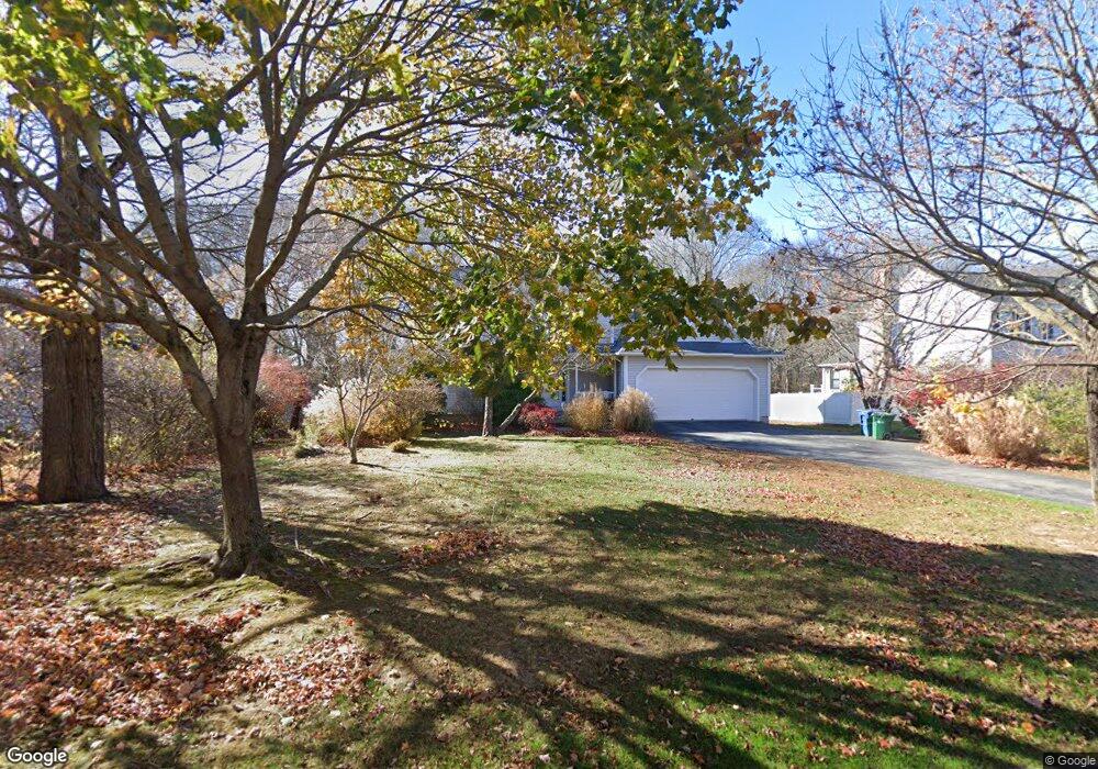
9 Spinnaker Rd Waterford, CT 06385
Estimated Value: $618,695 - $769,000
4
Beds
3
Baths
2,356
Sq Ft
$295/Sq Ft
Est. Value
About This Home
This home is located at 9 Spinnaker Rd, Waterford, CT 06385 and is currently estimated at $695,174, approximately $295 per square foot. 9 Spinnaker Rd is a home located in New London County with nearby schools including Clark Lane Middle School, Waterford High School, and Torah Tots Early Childhood Center.
Ownership History
Date
Name
Owned For
Owner Type
Purchase Details
Closed on
Jun 12, 2025
Sold by
Weller Deborah M
Bought by
Weller Sara E
Current Estimated Value
Purchase Details
Closed on
Oct 22, 1992
Sold by
Smith Gary D
Bought by
Weller David R and Weller Deborah M
Create a Home Valuation Report for This Property
The Home Valuation Report is an in-depth analysis detailing your home's value as well as a comparison with similar homes in the area
Home Values in the Area
Average Home Value in this Area
Purchase History
| Date | Buyer | Sale Price | Title Company |
|---|---|---|---|
| Weller Sara E | -- | None Available | |
| Weller Sara E | -- | None Available | |
| Weller Sara E | -- | None Available | |
| Weller Sara E | -- | None Available | |
| Weller David R | $62,000 | -- | |
| Weller David R | $62,000 | -- |
Source: Public Records
Mortgage History
| Date | Status | Borrower | Loan Amount |
|---|---|---|---|
| Previous Owner | Weller David R | $180,000 | |
| Previous Owner | Weller David R | $30,000 | |
| Previous Owner | Weller David R | $25,000 |
Source: Public Records
Tax History Compared to Growth
Tax History
| Year | Tax Paid | Tax Assessment Tax Assessment Total Assessment is a certain percentage of the fair market value that is determined by local assessors to be the total taxable value of land and additions on the property. | Land | Improvement |
|---|---|---|---|---|
| 2025 | $7,104 | $304,100 | $121,780 | $182,320 |
| 2024 | $6,781 | $304,100 | $121,780 | $182,320 |
| 2023 | $6,447 | $304,100 | $121,780 | $182,320 |
| 2022 | $6,966 | $252,760 | $90,530 | $162,230 |
| 2021 | $6,986 | $252,760 | $90,530 | $162,230 |
| 2020 | $7,044 | $252,760 | $90,530 | $162,230 |
| 2019 | $7,072 | $252,760 | $90,530 | $162,230 |
| 2018 | $6,931 | $252,760 | $90,530 | $162,230 |
| 2017 | $6,683 | $247,230 | $81,180 | $166,050 |
| 2016 | $6,621 | $247,230 | $81,180 | $166,050 |
| 2015 | $6,386 | $247,230 | $81,180 | $166,050 |
| 2014 | $6,386 | $247,230 | $81,180 | $166,050 |
Source: Public Records
Map
Nearby Homes
- 1 Spinnaker Rd
- 7 Nichols Ln
- 15A Shore Rd
- 25 Division St
- 212 Shore Rd
- 17 Westwood Dr
- 51 Braman Rd
- 18 Whaling Dr
- 23 Whaling Dr
- 2 Maginnis Pkwy
- 2 Forest St
- 12 Greenfield St
- 107 Niles Hill Rd Unit A
- 4 Ridgewood Ave
- 41 Niles Hill Rd
- 57 Westridge Rd Unit B2
- 52B Millstone Rd W
- 41 Stuart Ave
- 845 Ocean Ave
- 58 Millstone Rd W