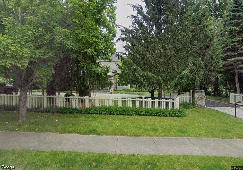
9 Stonegate Ln Westwood, MA 02090
Estimated Value: $4,146,000 - $4,428,000
5
Beds
8
Baths
5,436
Sq Ft
$782/Sq Ft
Est. Value
About This Home
This home is located at 9 Stonegate Ln, Westwood, MA 02090 and is currently estimated at $4,251,807, approximately $782 per square foot. 9 Stonegate Ln is a home located in Norfolk County with nearby schools including Westwood High School and Norwood Montessori School.
Ownership History
Date
Name
Owned For
Owner Type
Purchase Details
Closed on
Oct 16, 2015
Sold by
Boch Donna M
Bought by
Stonegate Lane Nt and Boch Donna M
Current Estimated Value
Purchase Details
Closed on
Nov 12, 2008
Sold by
Boch Barbara A
Bought by
Boch Donna M
Purchase Details
Closed on
Feb 12, 2004
Sold by
Developmen Wall Street
Bought by
Boch Barbara A
Create a Home Valuation Report for This Property
The Home Valuation Report is an in-depth analysis detailing your home's value as well as a comparison with similar homes in the area
Home Values in the Area
Average Home Value in this Area
Purchase History
| Date | Buyer | Sale Price | Title Company |
|---|---|---|---|
| Stonegate Lane Nt | -- | -- | |
| Boch Donna M | -- | -- | |
| Boch Barbara A | $1,700,000 | -- |
Source: Public Records
Tax History Compared to Growth
Tax History
| Year | Tax Paid | Tax Assessment Tax Assessment Total Assessment is a certain percentage of the fair market value that is determined by local assessors to be the total taxable value of land and additions on the property. | Land | Improvement |
|---|---|---|---|---|
| 2025 | $42,641 | $3,331,300 | $687,600 | $2,643,700 |
| 2024 | $39,976 | $3,120,700 | $654,800 | $2,465,900 |
| 2023 | $36,256 | $2,535,400 | $546,100 | $1,989,300 |
| 2022 | $34,931 | $2,355,450 | $462,000 | $1,893,450 |
| 2021 | $35,432 | $2,397,300 | $440,000 | $1,957,300 |
| 2020 | $34,321 | $2,365,300 | $440,000 | $1,925,300 |
| 2019 | $32,781 | $2,237,600 | $418,800 | $1,818,800 |
| 2018 | $32,759 | $2,170,900 | $418,800 | $1,752,100 |
| 2017 | $32,427 | $2,225,600 | $418,800 | $1,806,800 |
| 2016 | $31,237 | $2,130,750 | $418,800 | $1,711,950 |
| 2015 | $28,782 | $1,888,600 | $418,800 | $1,469,800 |
Source: Public Records
Map
Nearby Homes
- 11 Stonegate Dr
- 9 Stonegate Dr
- 90 Blueberry Ln
- 140 Burgess Ave
- 14 Ruel Dr
- 1 Crest Dr W
- 29 Hartford St
- 145 Walpole St
- 23 Bubbling Brook Rd
- 18 Tisdale Dr Unit 18
- 9 Schaffner Ln
- 36 Kingswood Rd
- 95 Arcadia Rd
- 151 Arcadia Rd
- 303 Oak St
- 48 Lakeshore Dr
- 1080 North St
- 60 Warwick Dr
- 4 Shoestring Ln
- 207 Hartford St
- 7 Stonegate Ln Unit 7
- 7 Stonegate Dr
- 7 Stonegate Dr Unit 7
- 7 Stonegate Dr
- 7W Stonegate Dr
- 6 Stonegate Ln
- 6 Stonegate Ln
- 5 Stonegate Dr
- 13 Stonegate Dr
- 13 Stonegate Dr
- 13 Stonegate Ln
- 4 Stonegate Ln
- 8 Stonegate Ln
- 15 Stonegate Ln
- 15 Stonegate Dr
- 64 Blueberry Ln
- 54 Blueberry Ln
- 2 Stonegate Ln
- 3 Stonegate Dr
- 17 Stonegate Dr