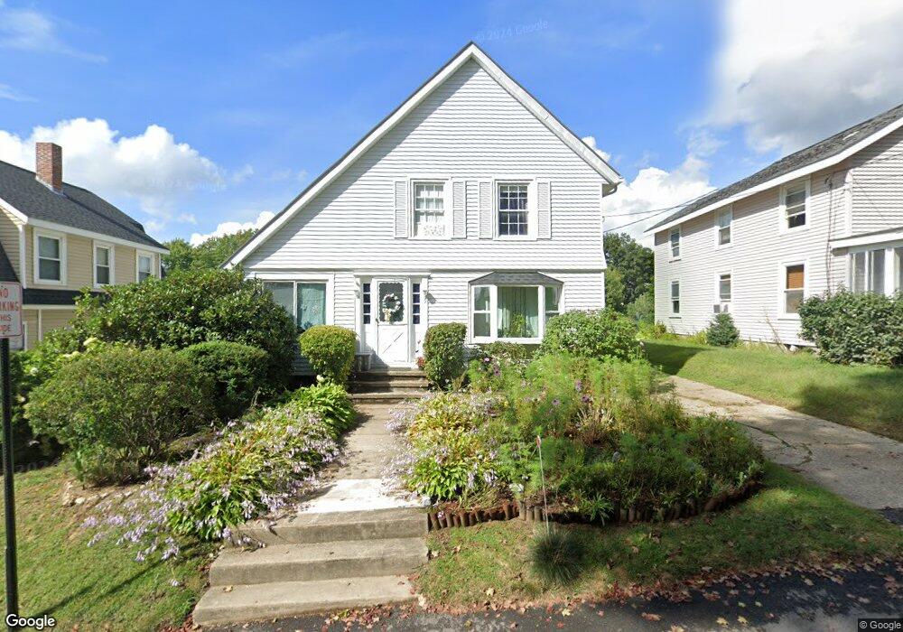
9 Whitten St Allenstown, NH 03275
Suncook NeighborhoodEstimated Value: $359,000 - $389,952
3
Beds
2
Baths
1,385
Sq Ft
$269/Sq Ft
Est. Value
About This Home
This home is located at 9 Whitten St, Allenstown, NH 03275 and is currently estimated at $372,238, approximately $268 per square foot. 9 Whitten St is a home located in Merrimack County with nearby schools including Allenstown Elementary School, Armand R. Dupont School, and Tender Years Child Care & Learning Center.
Ownership History
Date
Name
Owned For
Owner Type
Purchase Details
Closed on
Aug 21, 2006
Sold by
Comm Action Program
Bought by
Potter Catherine E
Current Estimated Value
Home Financials for this Owner
Home Financials are based on the most recent Mortgage that was taken out on this home.
Original Mortgage
$178,480
Interest Rate
6.88%
Purchase Details
Closed on
Dec 8, 2000
Sold by
Shallow Brian W
Bought by
Lavoie Foundation
Purchase Details
Closed on
Dec 5, 1997
Sold by
Soucy Robert L and Soucy Lyne D
Bought by
Shallow Brian W
Home Financials for this Owner
Home Financials are based on the most recent Mortgage that was taken out on this home.
Original Mortgage
$66,759
Interest Rate
7.28%
Create a Home Valuation Report for This Property
The Home Valuation Report is an in-depth analysis detailing your home's value as well as a comparison with similar homes in the area
Home Values in the Area
Average Home Value in this Area
Purchase History
| Date | Buyer | Sale Price | Title Company |
|---|---|---|---|
| Potter Catherine E | $184,000 | -- | |
| Potter Catherine E | $184,000 | -- | |
| Lavoie Foundation | $106,000 | -- | |
| Shallow Brian W | $67,000 | -- |
Source: Public Records
Mortgage History
| Date | Status | Borrower | Loan Amount |
|---|---|---|---|
| Open | Shallow Brian W | $163,783 | |
| Closed | Potter Catherine E | $178,480 | |
| Previous Owner | Shallow Brian W | $66,759 |
Source: Public Records
Tax History Compared to Growth
Tax History
| Year | Tax Paid | Tax Assessment Tax Assessment Total Assessment is a certain percentage of the fair market value that is determined by local assessors to be the total taxable value of land and additions on the property. | Land | Improvement |
|---|---|---|---|---|
| 2024 | $7,161 | $281,700 | $134,900 | $146,800 |
| 2023 | $5,972 | $281,700 | $134,900 | $146,800 |
| 2022 | $5,493 | $281,700 | $134,900 | $146,800 |
| 2021 | $5,409 | $171,700 | $71,500 | $100,200 |
| 2020 | $5,031 | $171,700 | $71,500 | $100,200 |
| 2019 | $5,340 | $171,700 | $71,500 | $100,200 |
| 2018 | $5,177 | $171,700 | $71,500 | $100,200 |
| 2017 | $5,513 | $171,700 | $71,500 | $100,200 |
| 2016 | $4,182 | $123,500 | $40,300 | $83,200 |
| 2015 | $4,055 | $123,500 | $40,300 | $83,200 |
| 2014 | $4,172 | $123,500 | $40,300 | $83,200 |
| 2013 | $3,903 | $123,800 | $40,300 | $83,500 |
Source: Public Records
Map
Nearby Homes
- 7 Ferry St
- 4 Rodger Rd
- 100 Main St Unit M10
- 100 Main St Unit 204
- 12-14 Church St Unit 12,14
- 15 Main St
- 111 Glass St
- 422 Dawn Dr Unit 23
- 427 Dawn Dr Unit 15
- 1 1/2 Bartlett St
- 19 Sullivan Dr
- 233 Pembroke St
- 259 Pembroke St
- 10 Lane Dr
- 307 Dearborn Rd
- 2 Cheryl Dr
- 10 Winchester Ct
- 15 Sullivan Dr
- 1821 Hooksett Rd
- 347 Pembroke St