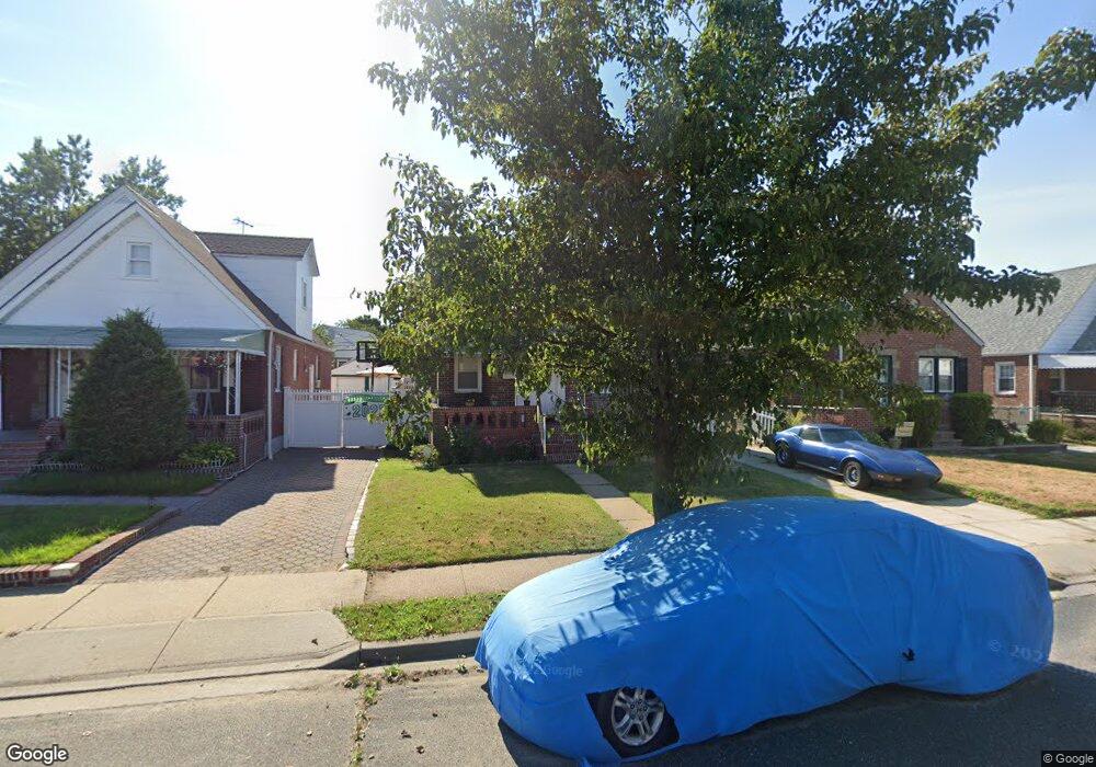
90 Sussex Rd Elmont, NY 11003
Estimated Value: $592,615 - $672,000
--
Bed
1
Bath
1,302
Sq Ft
$486/Sq Ft
Est. Value
About This Home
This home is located at 90 Sussex Rd, Elmont, NY 11003 and is currently estimated at $632,308, approximately $485 per square foot. 90 Sussex Rd is a home located in Nassau County with nearby schools including Ss Joachim & Anne School and Martin De Porres School.
Ownership History
Date
Name
Owned For
Owner Type
Purchase Details
Closed on
Feb 23, 2021
Sold by
Richard Narain
Bought by
Mahiber Deenish and Mahiber Shureen Srekissoon
Current Estimated Value
Purchase Details
Closed on
Sep 25, 2013
Sold by
Vaz Anthony
Bought by
Richard Narain
Purchase Details
Closed on
Aug 28, 2007
Sold by
Jaiprashad Neelawatee
Bought by
Vaz Anthony
Purchase Details
Closed on
Apr 8, 2005
Sold by
Neelawatee Jaiprashdad
Purchase Details
Closed on
Apr 29, 2004
Sold by
Coppola Robert
Bought by
Richard Narain
Create a Home Valuation Report for This Property
The Home Valuation Report is an in-depth analysis detailing your home's value as well as a comparison with similar homes in the area
Home Values in the Area
Average Home Value in this Area
Purchase History
| Date | Buyer | Sale Price | Title Company |
|---|---|---|---|
| Mahiber Deenish | -- | Judicial Title | |
| Richard Narain | -- | All Shore Abstract Ltd | |
| Vaz Anthony | $490,000 | -- | |
| -- | -- | -- | |
| Richard Narain | $285,000 | -- |
Source: Public Records
Tax History Compared to Growth
Tax History
| Year | Tax Paid | Tax Assessment Tax Assessment Total Assessment is a certain percentage of the fair market value that is determined by local assessors to be the total taxable value of land and additions on the property. | Land | Improvement |
|---|---|---|---|---|
| 2025 | $9,774 | $378 | $184 | $194 |
| 2024 | $2,984 | $370 | $180 | $190 |
| 2023 | $8,713 | $386 | $188 | $198 |
| 2022 | $8,713 | $386 | $188 | $198 |
| 2021 | $11,076 | $399 | $194 | $205 |
| 2020 | $8,647 | $485 | $422 | $63 |
| 2019 | $2,798 | $519 | $402 | $117 |
| 2018 | $5,418 | $554 | $0 | $0 |
| 2017 | $5,621 | $584 | $452 | $132 |
| 2016 | $8,486 | $584 | $452 | $132 |
| 2015 | $2,662 | $584 | $452 | $132 |
| 2014 | $2,662 | $584 | $452 | $132 |
| 2013 | $2,495 | $584 | $452 | $132 |
Source: Public Records
Map
Nearby Homes
- 98 Locustwood Blvd
- 150 Heathcote Rd
- 45 Warwick Rd
- 165 Heathcote Rd
- 7 Sterling Rd
- 197 Biltmore Ave
- 174 Wellington Rd
- 164 Biltmore Ave
- 80 Biltmore Ave
- 257 Biltmore Ave
- 219 Locustwood Blvd
- 10 Cedar St
- 266 Biltmore Ave
- 12 Biltmore Ave
- 86-B Gotham Ave
- 86 Gotham Ave
- 2334 Belmont Ave
- 179 Hoffman Ave
- 105 Claridge Ave
- 56 Seville St