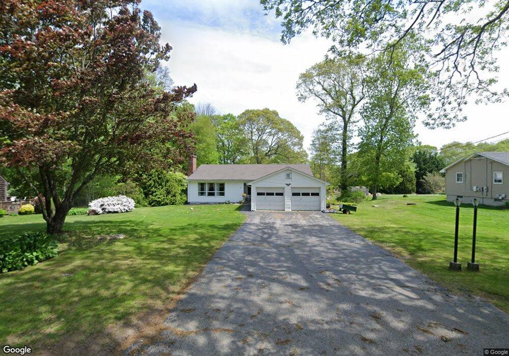
900 Noank Ledyard Rd Mystic, CT 06355
Old Mystic NeighborhoodEstimated Value: $524,281 - $601,000
3
Beds
3
Baths
2,004
Sq Ft
$276/Sq Ft
Est. Value
About This Home
This home is located at 900 Noank Ledyard Rd, Mystic, CT 06355 and is currently estimated at $553,070, approximately $275 per square foot. 900 Noank Ledyard Rd is a home located in New London County with nearby schools including Northeast Academy Arts Magnet School, Groton Middle School, and Robert E. Fitch High School.
Ownership History
Date
Name
Owned For
Owner Type
Purchase Details
Closed on
Jun 9, 1998
Sold by
Vescovi Catherine Est
Bought by
Lane Gregory T and Lane Loretta M
Current Estimated Value
Create a Home Valuation Report for This Property
The Home Valuation Report is an in-depth analysis detailing your home's value as well as a comparison with similar homes in the area
Home Values in the Area
Average Home Value in this Area
Purchase History
| Date | Buyer | Sale Price | Title Company |
|---|---|---|---|
| Lane Gregory T | $153,000 | -- |
Source: Public Records
Mortgage History
| Date | Status | Borrower | Loan Amount |
|---|---|---|---|
| Open | Lane Gregory T | $100,650 | |
| Closed | Lane Gregory T | $50,000 | |
| Closed | Lane Gregory T | $30,000 | |
| Closed | Lane Gregory T | $75,000 |
Source: Public Records
Tax History Compared to Growth
Tax History
| Year | Tax Paid | Tax Assessment Tax Assessment Total Assessment is a certain percentage of the fair market value that is determined by local assessors to be the total taxable value of land and additions on the property. | Land | Improvement |
|---|---|---|---|---|
| 2025 | $7,358 | $269,430 | $120,127 | $149,303 |
| 2024 | $6,892 | $269,430 | $120,127 | $149,303 |
| 2023 | $6,609 | $269,430 | $56,140 | $213,290 |
| 2022 | $6,561 | $269,430 | $56,140 | $213,290 |
| 2021 | $5,151 | $178,360 | $56,140 | $122,220 |
| 2020 | $5,096 | $178,360 | $56,140 | $122,220 |
| 2019 | $4,878 | $178,360 | $56,140 | $122,220 |
| 2018 | $4,828 | $178,360 | $56,140 | $122,220 |
| 2017 | $4,741 | $178,360 | $56,140 | $122,220 |
| 2016 | $4,728 | $191,590 | $70,210 | $121,380 |
| 2015 | $4,569 | $191,590 | $70,210 | $121,380 |
| 2014 | $4,441 | $191,590 | $70,210 | $121,380 |
Source: Public Records
Map
Nearby Homes
- 518 Noank Ledyard Rd
- 115 Lamphere Rd
- 116 Indigo St
- 375 Allyn St Unit 2
- 375 Allyn St Unit 4
- 17 Lamphere Rd
- 36 Watrous Ave
- 201 Daniel Brown Dr
- 22 Spring Valley Rd
- 40 Allyn St
- 1459 Gold Star Hwy
- 186 Haley Rd
- 2590 Gold Star Hwy Unit 210
- 97 North Rd
- 147 Pequot Ave
- 254 Haley Rd
- 435 High St Unit 31
- 435 High St Unit 30
- 435 High St Unit 58
- 435 High St Unit 26
- 892 Noank Ledyard Rd
- 888 Noank Ledyard Rd
- 882 Noank Ledyard Rd
- 910 Noank Ledyard Rd
- 914 Noank Ledyard Rd
- 901 Noank Ledyard Rd
- 866 Noank Ledyard Rd
- 916 Noank Ledyard Rd
- 921 Noank Ledyard Rd
- 881 Noank Ledyard Rd
- 844 Noank Ledyard Rd
- 976 Noank Ledyard Rd
- 824 Noank Ledyard Rd
- 818 Noank Ledyard Rd
- 918 Noank Ledyard Rd
- 816 Noank Ledyard Rd
- 00 Flanders Rd
- 600 Sandy Hollow Rd
- 0 Sandy Hollow Rd Unit E10163699
- 566 Sandy Hollow Rd