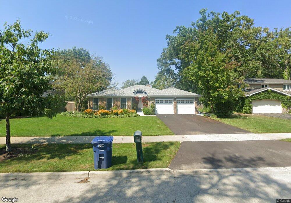
900 Summit Dr Deerfield, IL 60015
Estimated Value: $889,580 - $1,274,000
4
Beds
3
Baths
3,188
Sq Ft
$321/Sq Ft
Est. Value
About This Home
This home is located at 900 Summit Dr, Deerfield, IL 60015 and is currently estimated at $1,021,895, approximately $320 per square foot. 900 Summit Dr is a home located in Lake County with nearby schools including Walden Elementary School, Alan B Shepard Middle School, and Deerfield High School.
Ownership History
Date
Name
Owned For
Owner Type
Purchase Details
Closed on
May 11, 2024
Sold by
Mason Lawrence D and Mason Susan M
Bought by
Lawrence D Mason And Susan Marks Mason Revoca and Mason
Current Estimated Value
Purchase Details
Closed on
Aug 8, 1997
Sold by
Kaplan Sheldon and Kaplan Sheila P
Bought by
Mason Lawrence D and Mason Susan M
Home Financials for this Owner
Home Financials are based on the most recent Mortgage that was taken out on this home.
Original Mortgage
$280,000
Interest Rate
7.71%
Create a Home Valuation Report for This Property
The Home Valuation Report is an in-depth analysis detailing your home's value as well as a comparison with similar homes in the area
Home Values in the Area
Average Home Value in this Area
Purchase History
| Date | Buyer | Sale Price | Title Company |
|---|---|---|---|
| Lawrence D Mason And Susan Marks Mason Revoca | -- | Cambridge Title | |
| Mason Lawrence D | $233,333 | Chicago Title Insurance Co |
Source: Public Records
Mortgage History
| Date | Status | Borrower | Loan Amount |
|---|---|---|---|
| Previous Owner | Mason Lawrence D | $280,000 |
Source: Public Records
Tax History Compared to Growth
Tax History
| Year | Tax Paid | Tax Assessment Tax Assessment Total Assessment is a certain percentage of the fair market value that is determined by local assessors to be the total taxable value of land and additions on the property. | Land | Improvement |
|---|---|---|---|---|
| 2024 | $18,186 | $209,750 | $55,794 | $153,956 |
| 2023 | $18,186 | $201,295 | $53,545 | $147,750 |
| 2022 | $17,104 | $186,572 | $59,328 | $127,244 |
| 2021 | $16,136 | $179,880 | $57,200 | $122,680 |
| 2020 | $15,519 | $180,258 | $57,320 | $122,938 |
| 2019 | $15,168 | $179,952 | $57,223 | $122,729 |
| 2018 | $17,502 | $213,532 | $60,650 | $152,882 |
| 2017 | $17,229 | $212,851 | $60,457 | $152,394 |
| 2016 | $16,758 | $204,802 | $58,171 | $146,631 |
| 2015 | $16,422 | $192,429 | $54,657 | $137,772 |
| 2014 | $13,799 | $160,420 | $55,050 | $105,370 |
| 2012 | $13,463 | $159,004 | $54,564 | $104,440 |
Source: Public Records
Map
Nearby Homes
- 1770 Overland Trail
- 1504 Northwoods Rd
- 1423 Northwoods Rd
- 1342 Barclay Ln Unit 36
- 970 Ivy Ln Unit C
- 1131 Linden Ave
- 1265 Woodland Dr
- 1410 Berkley Ct
- 2005 Keats Ln
- 1380 Valley Rd
- 1670 Meadow Ln
- 2372 Tennyson Ln
- 1045 Fairoaks Ave
- 1953 Keats Ct
- 1341 Carlisle Place
- 1263 Carlisle Place
- 1666 Cloverdale Ave
- 1127 Kenton Rd
- 2230 Shady Ln
- 1620 Berkeley Ct
- 890 Summit Dr
- 920 Summit Dr
- 880 Summit Dr
- 930 Summit Dr
- 1750 E Summit Ct
- 925 Summit Dr
- 870 Summit Dr
- 1740 E Summit Ct
- 935 Summit Dr
- 950 Summit Dr
- 1755 E Summit Ct
- 860 Summit Dr
- 945 Summit Dr
- 1745 E Summit Ct
- 1730 E Summit Ct
- 1725 Mountain Ct
- 1730 Mountain Ct
- 955 Summit Dr
- 840 Summit Dr
- 960 Summit Dr