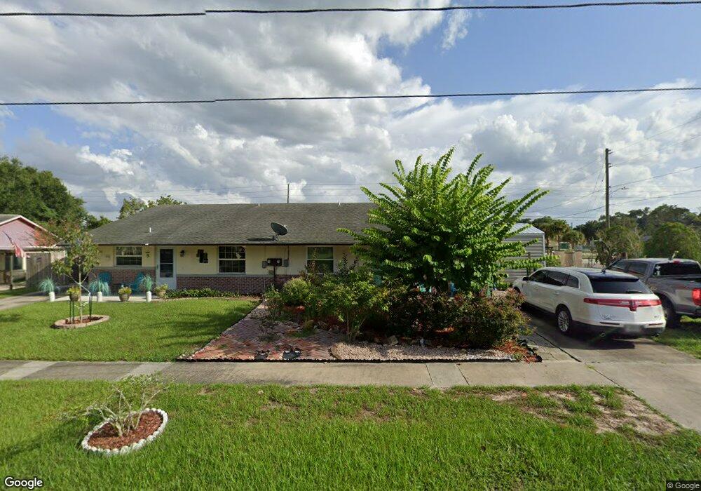
901 Marlboro Dr Deland, FL 32724
Estimated Value: $176,703 - $244,000
2
Beds
1
Bath
1,120
Sq Ft
$182/Sq Ft
Est. Value
About This Home
This home is located at 901 Marlboro Dr, Deland, FL 32724 and is currently estimated at $203,926, approximately $182 per square foot. 901 Marlboro Dr is a home with nearby schools including Deland High School, George W. Marks Elementary School, and Deland Middle School.
Ownership History
Date
Name
Owned For
Owner Type
Purchase Details
Closed on
Oct 15, 2024
Sold by
Snyder Sue L
Bought by
Snyder Sue L and Clements Gary Lee
Current Estimated Value
Purchase Details
Closed on
Dec 18, 1995
Sold by
Temple Arlene A and Parker Arlene A
Bought by
Snyder Sue L
Home Financials for this Owner
Home Financials are based on the most recent Mortgage that was taken out on this home.
Original Mortgage
$42,350
Interest Rate
7.33%
Mortgage Type
FHA
Purchase Details
Closed on
Jun 15, 1988
Bought by
Snyder Sue L
Create a Home Valuation Report for This Property
The Home Valuation Report is an in-depth analysis detailing your home's value as well as a comparison with similar homes in the area
Home Values in the Area
Average Home Value in this Area
Purchase History
| Date | Buyer | Sale Price | Title Company |
|---|---|---|---|
| Snyder Sue L | $100 | None Listed On Document | |
| Snyder Sue L | $42,000 | -- | |
| Snyder Sue L | $40,000 | -- |
Source: Public Records
Mortgage History
| Date | Status | Borrower | Loan Amount |
|---|---|---|---|
| Previous Owner | Snyder Sue L | $42,350 |
Source: Public Records
Tax History Compared to Growth
Tax History
| Year | Tax Paid | Tax Assessment Tax Assessment Total Assessment is a certain percentage of the fair market value that is determined by local assessors to be the total taxable value of land and additions on the property. | Land | Improvement |
|---|---|---|---|---|
| 2025 | $319 | $44,545 | -- | -- |
| 2024 | $319 | $43,291 | -- | -- |
| 2023 | $319 | $42,030 | $0 | $0 |
| 2022 | $302 | $40,806 | $0 | $0 |
| 2021 | $300 | $39,617 | $0 | $0 |
| 2020 | $290 | $39,070 | $0 | $0 |
| 2019 | $285 | $38,192 | $0 | $0 |
| 2018 | $281 | $37,480 | $0 | $0 |
| 2017 | $273 | $36,709 | $0 | $0 |
| 2016 | $252 | $35,954 | $0 | $0 |
| 2015 | $254 | $35,704 | $0 | $0 |
| 2014 | $253 | $35,421 | $0 | $0 |
Source: Public Records
Map
Nearby Homes
- 907 Marlboro Dr
- 818 Eastover Cir
- 915 Marlboro Dr
- 927 Azalea Walk Cir
- 931 Azalea Walk Cir
- 1103 Lindley Cove Cir
- 851 E Pennsylvania Ave
- 708 Montreville Ave
- 717 E Grove Place
- 1150 Orangewood Ave
- 1005 Crescent Pkwy
- 753 Mystic Oaks Ln
- 1007 Crescent Pkwy
- 612 E Plymouth Ave
- 605 John Thomas Ave
- 1100 E University Ave
- 714 Astoria Dr
- 528 Compton Ct
- 811 Grand Park Ct
- 45 S University Cir
- 903 Marlboro Dr
- 905 Marlboro Dr
- 907 New Bedford Dr
- 900 Hartford Dr
- 906 Marlboro Dr
- 909 New Bedford Dr
- 909 Marlboro Dr
- 902 Hartford Dr
- 908 Marlboro Dr
- 906 New Bedford Dr
- 911 Marlboro Dr
- 913 New Bedford Dr
- 914 Marlboro Dr
- 904 Hartford Dr
- 913 Marlboro Dr
- 914 New Bedford Dr
- 907 Hartford Dr
- 915 New Bedford Dr
- 916 Marlboro Dr
- 916 New Bedford Dr