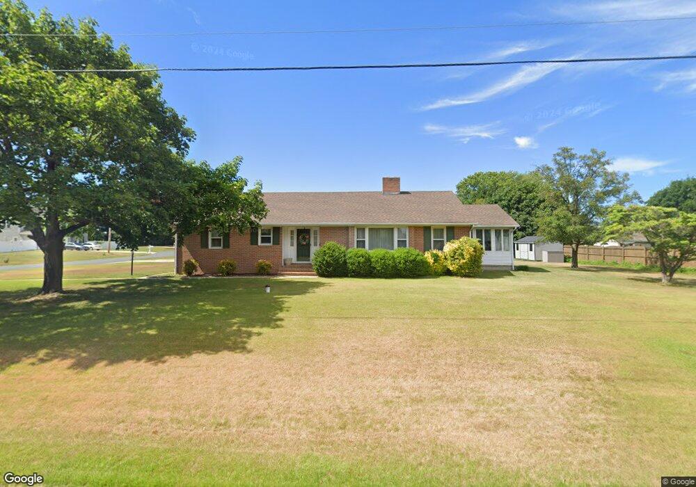
901 West Ln Milford, DE 19963
Estimated Value: $350,160 - $452,000
3
Beds
3
Baths
1,846
Sq Ft
$217/Sq Ft
Est. Value
About This Home
This home is located at 901 West Ln, Milford, DE 19963 and is currently estimated at $401,290, approximately $217 per square foot. 901 West Ln is a home located in Kent County with nearby schools including Mispillion Elementary School, Milford Central Academy, and Milford Senior High School.
Ownership History
Date
Name
Owned For
Owner Type
Purchase Details
Closed on
Dec 16, 2022
Sold by
Parker Keith W and Parker Bonnie S
Bought by
Salayda John and Salayda Sissel
Current Estimated Value
Home Financials for this Owner
Home Financials are based on the most recent Mortgage that was taken out on this home.
Original Mortgage
$218,000
Outstanding Balance
$210,887
Interest Rate
6.49%
Mortgage Type
VA
Estimated Equity
$190,403
Purchase Details
Closed on
May 24, 2002
Bought by
Parker Keith W and Hutchins Harry N
Create a Home Valuation Report for This Property
The Home Valuation Report is an in-depth analysis detailing your home's value as well as a comparison with similar homes in the area
Home Values in the Area
Average Home Value in this Area
Purchase History
| Date | Buyer | Sale Price | Title Company |
|---|---|---|---|
| Salayda John | $318,000 | -- | |
| Parker Keith W | $156,500 | -- |
Source: Public Records
Mortgage History
| Date | Status | Borrower | Loan Amount |
|---|---|---|---|
| Open | Salayda John | $218,000 |
Source: Public Records
Tax History Compared to Growth
Tax History
| Year | Tax Paid | Tax Assessment Tax Assessment Total Assessment is a certain percentage of the fair market value that is determined by local assessors to be the total taxable value of land and additions on the property. | Land | Improvement |
|---|---|---|---|---|
| 2025 | $1,217 | $323,100 | $90,300 | $232,800 |
| 2024 | $1,217 | $323,100 | $90,300 | $232,800 |
| 2023 | $1,299 | $57,800 | $9,800 | $48,000 |
| 2022 | $1,269 | $57,800 | $9,800 | $48,000 |
| 2021 | $1,291 | $57,800 | $9,800 | $48,000 |
| 2020 | $1,301 | $57,800 | $9,800 | $48,000 |
| 2019 | $1,308 | $57,800 | $9,800 | $48,000 |
| 2018 | $1,165 | $51,300 | $9,800 | $41,500 |
| 2017 | $1,176 | $51,300 | $0 | $0 |
| 2016 | $1,248 | $51,300 | $0 | $0 |
| 2015 | $914 | $51,300 | $0 | $0 |
| 2014 | $895 | $51,300 | $0 | $0 |
Source: Public Records
Map
Nearby Homes
- 712 East Ln
- 102 Currie Ln
- 101 Currie Ln
- 100 Currie Ln
- 455 Kings Hwy
- 5 Sunset Ln
- 13 Donovan Dr
- 200 Sunset Ln
- 13 Lakecrest Dr
- Lot 7 Lakecrest Dr
- 508 Wisseman Ave
- 459 Kings Hwy
- 505 Lakewood Dr
- 507 Caulk Rd
- 506 Meadow Brook Ln
- 6370 Pebblebrook Dr
- 801 N Dupont Blvd
- 4943 Dot St
- 107 West St
- Lot 1 Milford Harrington Hwy