901 Wyatt Cir Montrose, MN 55363
Estimated Value: $331,000 - $355,000
4
Beds
3
Baths
2,181
Sq Ft
$157/Sq Ft
Est. Value
About This Home
This home is located at 901 Wyatt Cir, Montrose, MN 55363 and is currently estimated at $342,649, approximately $157 per square foot. 901 Wyatt Cir is a home located in Wright County with nearby schools including Montrose Elementary School, Buffalo Community Middle School, and Buffalo Senior High School.
Ownership History
Date
Name
Owned For
Owner Type
Purchase Details
Closed on
Aug 29, 2022
Sold by
Niemeyer Tanner
Bought by
Birt Brian and Birt Sara
Current Estimated Value
Home Financials for this Owner
Home Financials are based on the most recent Mortgage that was taken out on this home.
Original Mortgage
$320,000
Outstanding Balance
$306,348
Interest Rate
5.51%
Mortgage Type
New Conventional
Estimated Equity
$36,301
Purchase Details
Closed on
Aug 7, 2017
Sold by
Lonconch Brittany L and Lonconch Hadeon
Bought by
Niemeyer Tanner J and Niemeyer Kathleen Anne
Purchase Details
Closed on
Aug 7, 2013
Bought by
Loncorich Hadeon Hadeon
Home Financials for this Owner
Home Financials are based on the most recent Mortgage that was taken out on this home.
Original Mortgage
$169,491
Interest Rate
4.39%
Create a Home Valuation Report for This Property
The Home Valuation Report is an in-depth analysis detailing your home's value as well as a comparison with similar homes in the area
Home Values in the Area
Average Home Value in this Area
Purchase History
| Date | Buyer | Sale Price | Title Company |
|---|---|---|---|
| Birt Brian | $330,000 | -- | |
| Niemeyer Tanner J | $215,000 | Burnet Title | |
| Loncorich Hadeon Hadeon | $169,500 | -- |
Source: Public Records
Mortgage History
| Date | Status | Borrower | Loan Amount |
|---|---|---|---|
| Open | Birt Brian | $320,000 | |
| Previous Owner | Loncorich Hadeon Hadeon | $169,491 |
Source: Public Records
Tax History Compared to Growth
Tax History
| Year | Tax Paid | Tax Assessment Tax Assessment Total Assessment is a certain percentage of the fair market value that is determined by local assessors to be the total taxable value of land and additions on the property. | Land | Improvement |
|---|---|---|---|---|
| 2025 | $3,832 | $321,900 | $50,000 | $271,900 |
| 2024 | $4,044 | $309,200 | $35,000 | $274,200 |
| 2023 | $3,560 | $354,300 | $70,000 | $284,300 |
| 2022 | $3,082 | $290,700 | $72,000 | $218,700 |
| 2021 | $3,164 | $221,000 | $40,000 | $181,000 |
| 2020 | $3,066 | $221,400 | $40,000 | $181,400 |
| 2019 | $2,754 | $211,200 | $0 | $0 |
| 2018 | $2,592 | $178,700 | $0 | $0 |
| 2017 | $2,276 | $169,600 | $0 | $0 |
| 2016 | $2,140 | $0 | $0 | $0 |
| 2015 | $1,916 | $0 | $0 | $0 |
| 2014 | -- | $0 | $0 | $0 |
Source: Public Records
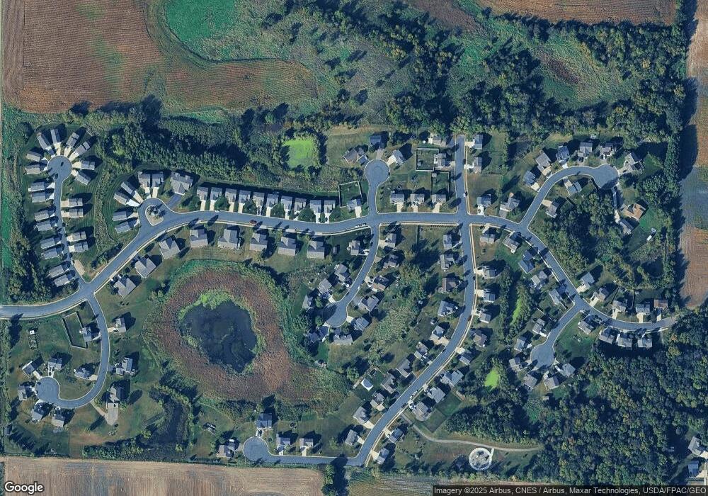
Map
Nearby Homes
- 1011 Alexander Ct
- Cameron Plan at Northridge
- Granite Plan at Northridge
- Perkins Plan at Northridge
- Harris Plan at Northridge
- 699 Aspen Ln
- 697 Aspen Ln
- 695 Aspen Ln
- 693 Aspen Ln
- 691 Aspen Ln
- 995 Fox Ave
- 689 Aspen Ln
- 692 Aspen Ln
- 687 Aspen Ln
- 690 Aspen Ln
- 645 Fieldcrest Ave N
- 685 Aspen Ln
- 643 Fieldcrest Ave N
- 683 Aspen Ln
- 684 Aspen Ln
- 903 Wyatt Cir
- 944 Breckenridge Ln
- 946 Breckenridge Ln
- 902 Wyatt Cir
- 943 Breckenridge Ln
- 904 Wyatt Cir
- 905 Wyatt Cir
- 900 Wyatt Cir
- 947 Breckenridge Ln
- 948 Breckenridge Ln
- 906 Wyatt Cir
- 949 Breckenridge Ln
- 950 Breckenridge Ln
- 907 Wyatt Cir
- 951 Breckenridge Ln
- 908 Wyatt Cir
- 952 Breckenridge Ln
- 915 Cole Ave
- 939 Breckenridge Ln
- 939 939 Brekenridge-Lane-