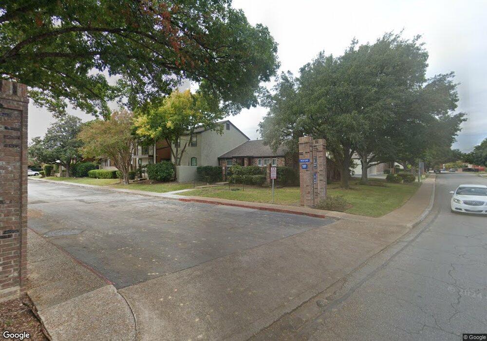
9011 Wexford St San Antonio, TX 78217
MacArthur NeighborhoodEstimated Value: $216,000 - $256,000
3
Beds
2
Baths
1,999
Sq Ft
$116/Sq Ft
Est. Value
About This Home
This home is located at 9011 Wexford St, San Antonio, TX 78217 and is currently estimated at $232,566, approximately $116 per square foot. 9011 Wexford St is a home located in Bexar County with nearby schools including Serna Elementary School, Garner Middle School, and MacArthur High School.
Ownership History
Date
Name
Owned For
Owner Type
Purchase Details
Closed on
May 29, 2014
Sold by
Clark Madison D and Clark Madison
Bought by
Guess Harold
Current Estimated Value
Home Financials for this Owner
Home Financials are based on the most recent Mortgage that was taken out on this home.
Original Mortgage
$103,200
Outstanding Balance
$78,392
Interest Rate
4.32%
Mortgage Type
New Conventional
Estimated Equity
$154,174
Purchase Details
Closed on
Sep 25, 2009
Sold by
Buchanan Martha and Lucero Jose
Bought by
Clark Madison D
Purchase Details
Closed on
Dec 22, 2001
Sold by
Sanders Virginia D
Bought by
Buchanan Martha
Create a Home Valuation Report for This Property
The Home Valuation Report is an in-depth analysis detailing your home's value as well as a comparison with similar homes in the area
Home Values in the Area
Average Home Value in this Area
Purchase History
| Date | Buyer | Sale Price | Title Company |
|---|---|---|---|
| Guess Harold | -- | Atc | |
| Clark Madison D | -- | Presidio Title | |
| Buchanan Martha | -- | -- |
Source: Public Records
Mortgage History
| Date | Status | Borrower | Loan Amount |
|---|---|---|---|
| Open | Guess Harold | $103,200 |
Source: Public Records
Tax History Compared to Growth
Tax History
| Year | Tax Paid | Tax Assessment Tax Assessment Total Assessment is a certain percentage of the fair market value that is determined by local assessors to be the total taxable value of land and additions on the property. | Land | Improvement |
|---|---|---|---|---|
| 2025 | $821 | $208,730 | $39,630 | $169,100 |
| 2024 | $821 | $211,416 | $36,050 | $178,620 |
| 2023 | $821 | $192,196 | $36,050 | $184,960 |
| 2022 | $4,311 | $174,724 | $28,840 | $158,210 |
| 2021 | $4,058 | $158,840 | $24,030 | $134,810 |
| 2020 | $4,067 | $156,830 | $22,080 | $134,750 |
| 2019 | $4,039 | $151,663 | $22,080 | $131,340 |
| 2018 | $3,681 | $137,875 | $22,080 | $130,190 |
| 2017 | $3,378 | $125,341 | $22,080 | $108,900 |
| 2016 | $3,071 | $113,946 | $22,080 | $93,740 |
| 2015 | $1,493 | $103,587 | $22,080 | $94,670 |
| 2014 | $1,493 | $94,170 | $0 | $0 |
Source: Public Records
Map
Nearby Homes
- 9016 Wickfield St
- 3922 Barrington St
- 8908 Wexford St
- 8919 Wickfield St
- 3843 Barrington St Unit 163P
- 3843 Barrington St Unit 139J
- 3843 Barrington St Unit 151M
- 3843 Barrington St Unit 219E
- 3843 Barrington St Unit 169S
- 9210 Overton Rd
- 3803 Barrington St Unit 15D
- 4023 Barrington St
- 8715 Starcrest Dr Unit 19
- 8715 Starcrest Dr Unit 58
- 8715 Starcrest Dr Unit 45
- 8715 Starcrest Dr Unit 48
- 3727 Hundred Oaks Dr
- 4127 Stathmore Dr
- LOT 19 Swans Landing
- LOT 15 Swans Landing
- 9013 Wexford St
- 9007 Wexford St
- 9005 Wexford St
- 9003 Wexford St
- 9003 Wexford St Unit 9003
- 9008 Wickfield St
- 9012 Wickfield St
- 9010 Wickfield St
- 3920 Barrington St
- 9014 Wickfield St
- 9006 Wickfield St
- 9004 Wickfield St
- 8936 Wexford St
- 3924 Barrington St
- 8934 Wexford St
- 8910 Wickfield St
- 8932 Wexford St
- 3853 Barrington St Unit 132H
- 3853 Barrington St Unit 127
- 3928 Barrington St
