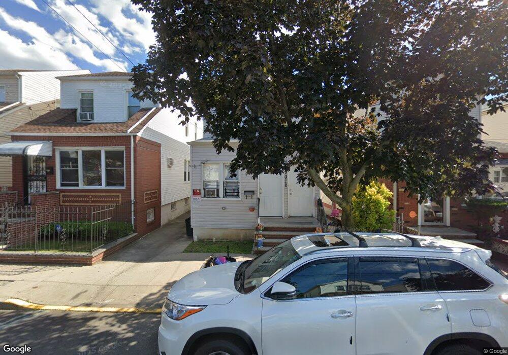
9012 Silver Rd Ozone Park, NY 11417
Ozone Park NeighborhoodEstimated Value: $896,000 - $1,023,000
--
Bed
--
Bath
2,000
Sq Ft
$489/Sq Ft
Est. Value
About This Home
This home is located at 9012 Silver Rd, Ozone Park, NY 11417 and is currently estimated at $977,436, approximately $488 per square foot. 9012 Silver Rd is a home located in Queens County with nearby schools including P.S. 63 - Old South, Robert H. Goddard High School, and Divine Mercy Catholic Academy.
Ownership History
Date
Name
Owned For
Owner Type
Purchase Details
Closed on
Jul 20, 2017
Sold by
Ahmed Enam and Ahmed Helim
Bought by
Ahmed Enam
Current Estimated Value
Purchase Details
Closed on
Jun 16, 2016
Sold by
Solano Jannette
Bought by
Ahmed Enam and Ahmed Helim
Home Financials for this Owner
Home Financials are based on the most recent Mortgage that was taken out on this home.
Original Mortgage
$555,809
Interest Rate
3.66%
Mortgage Type
Purchase Money Mortgage
Purchase Details
Closed on
Nov 15, 2006
Sold by
Catherine M Eaton As Surviving Tenant B
Bought by
Solano Jannette
Home Financials for this Owner
Home Financials are based on the most recent Mortgage that was taken out on this home.
Original Mortgage
$364,500
Interest Rate
6.4%
Mortgage Type
Purchase Money Mortgage
Create a Home Valuation Report for This Property
The Home Valuation Report is an in-depth analysis detailing your home's value as well as a comparison with similar homes in the area
Home Values in the Area
Average Home Value in this Area
Purchase History
| Date | Buyer | Sale Price | Title Company |
|---|---|---|---|
| Ahmed Enam | -- | -- | |
| Ahmed Enam | $575,000 | -- | |
| Solano Jannette | $405,000 | -- |
Source: Public Records
Mortgage History
| Date | Status | Borrower | Loan Amount |
|---|---|---|---|
| Previous Owner | Ahmed Enam | $555,809 | |
| Previous Owner | Solano Jannette | $364,500 |
Source: Public Records
Tax History Compared to Growth
Tax History
| Year | Tax Paid | Tax Assessment Tax Assessment Total Assessment is a certain percentage of the fair market value that is determined by local assessors to be the total taxable value of land and additions on the property. | Land | Improvement |
|---|---|---|---|---|
| 2025 | $7,271 | $38,374 | $9,943 | $28,431 |
| 2024 | $7,271 | $36,202 | $11,235 | $24,967 |
| 2023 | $7,271 | $36,202 | $12,420 | $23,782 |
| 2022 | $7,122 | $44,280 | $16,200 | $28,080 |
| 2021 | $7,133 | $41,580 | $16,200 | $25,380 |
| 2020 | $6,769 | $45,720 | $16,200 | $29,520 |
| 2019 | $6,311 | $41,700 | $16,200 | $25,500 |
| 2018 | $6,150 | $30,168 | $13,353 | $16,815 |
| 2017 | $6,061 | $29,732 | $12,824 | $16,908 |
| 2016 | $5,647 | $29,732 | $12,824 | $16,908 |
| 2015 | $3,383 | $26,648 | $16,517 | $10,131 |
| 2014 | $3,383 | $25,140 | $18,000 | $7,140 |
Source: Public Records
Map
Nearby Homes
- 132-18 89th St
- 9108 Sutter Ave
- 84-07 Sutter Ave
- 10751 89th St
- 8837 Pitkin Ave
- 107-50 90th St
- 8851 Pitkin Ave
- 91-25 Gold Rd
- 107-62 93rd St
- 107-20 92nd St
- 90-28 Pitkin Ave Unit 1,2 and 3
- 13319 Crossbay Blvd
- 9426 Sutter Ave
- 10724 87th St
- 13716 88th St
- 8509 Sutter Ave
- 133-28 86th St
- 8812 Albert Rd
- 9439 134th Ave
- 133-42 86th St
- 76-01 / 05 Glenmore Ave
- 103-50/48 101 St
- 96- Linden Blvd
- 105-07/09 Liberty Ave
- 106 96th St
- 103- 66 105th St Unit HOUSE
- 106-21 B&C 97
- 0 Rockaway Blvd Unit 3216292
- 9615 139 Ave
- 102-17/15 Atlantic Ave
- 0 107 Unit 2nd fl 3155648
- 102-09 134 St
- xxx-xx Xxxst St
- 106 107-11
- 93-05 149 Ave
- 103- 66 105th St
- 101-1$ Libery Ave
- 106-34 80 St
- 84 32 109 Ave
- 103-48 N 101&10350 101