9015 Thornton Rolling Rd Fredericksburg, VA 22408
Thornburg NeighborhoodEstimated Value: $657,000 - $946,957
3
Beds
4
Baths
3,710
Sq Ft
$209/Sq Ft
Est. Value
About This Home
This home is located at 9015 Thornton Rolling Rd, Fredericksburg, VA 22408 and is currently estimated at $774,739, approximately $208 per square foot. 9015 Thornton Rolling Rd is a home located in Spotsylvania County with nearby schools including Cedar Forest Elementary School, Thornburg Middle School, and Massaponax High School.
Ownership History
Date
Name
Owned For
Owner Type
Purchase Details
Closed on
Nov 19, 2010
Sold by
Quiroz Kenneth M
Bought by
Clark Steven G
Current Estimated Value
Home Financials for this Owner
Home Financials are based on the most recent Mortgage that was taken out on this home.
Original Mortgage
$117,500
Outstanding Balance
$77,643
Interest Rate
4.3%
Mortgage Type
New Conventional
Estimated Equity
$697,096
Create a Home Valuation Report for This Property
The Home Valuation Report is an in-depth analysis detailing your home's value as well as a comparison with similar homes in the area
Home Values in the Area
Average Home Value in this Area
Purchase History
| Date | Buyer | Sale Price | Title Company |
|---|---|---|---|
| Clark Steven G | $142,500 | -- |
Source: Public Records
Mortgage History
| Date | Status | Borrower | Loan Amount |
|---|---|---|---|
| Open | Clark Steven G | $117,500 |
Source: Public Records
Tax History Compared to Growth
Tax History
| Year | Tax Paid | Tax Assessment Tax Assessment Total Assessment is a certain percentage of the fair market value that is determined by local assessors to be the total taxable value of land and additions on the property. | Land | Improvement |
|---|---|---|---|---|
| 2025 | $5,905 | $804,200 | $173,000 | $631,200 |
| 2024 | $5,810 | $791,200 | $173,000 | $618,200 |
| 2023 | $5,153 | $667,800 | $150,700 | $517,100 |
| 2022 | $4,926 | $667,800 | $150,700 | $517,100 |
| 2021 | $5,047 | $623,600 | $128,500 | $495,100 |
| 2020 | $5,047 | $623,600 | $128,500 | $495,100 |
| 2019 | $4,274 | $504,400 | $123,500 | $380,900 |
| 2018 | $4,202 | $504,400 | $123,500 | $380,900 |
| 2017 | $904 | $106,400 | $106,400 | $0 |
| 2016 | $904 | $106,400 | $106,400 | $0 |
| 2015 | -- | $110,500 | $95,200 | $15,300 |
| 2014 | -- | $110,500 | $95,200 | $15,300 |
Source: Public Records
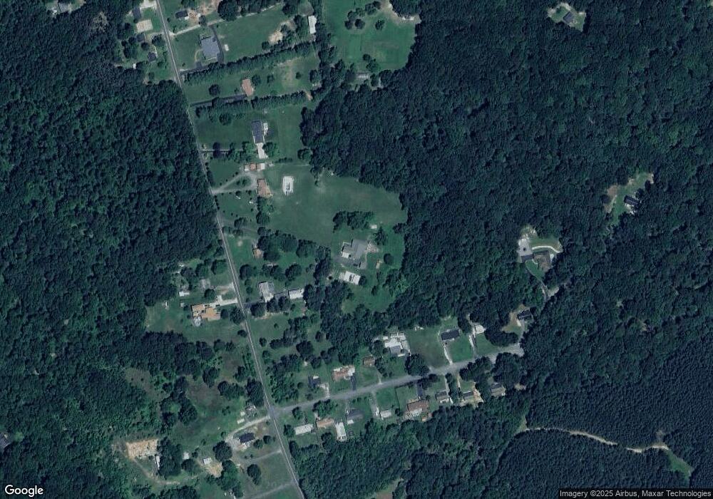
Map
Nearby Homes
- 9004 Thornton Rolling Rd
- 3049 Patriot Ln
- 2615 Wheatland Station Way
- 9816 Cedarmass Cir
- 8323 Arlene Acres Dr
- 4048 Old Grain Rd
- 9307 Spring Hill Ln
- Sawyer Plan at Ruffins Reserve
- Finley Plan at Ruffins Reserve
- Lewis Plan at Ruffins Reserve
- Bridgewater Plan at Ruffins Reserve
- Wingate Plan at Ruffins Reserve
- Carson Plan at Ruffins Reserve
- 0 Jim Morris Rd
- ASHTON Plan at Ruffins Reserve
- BELLEVILLE Plan at Ruffins Reserve
- QUENTIN Plan at Ruffins Reserve
- 3316 Eagle Dr
- Lot 10 Long Branch Rd
- 00 Long Branch Rd
- 9019 Thornton Rolling Rd
- 9017 Thornton Rolling Rd
- 9011 Thornton Rolling Rd
- 2409 Pinecrest Ln
- 9025 Thornton Rolling Rd
- 2411 Pinecrest Ln
- 2413 Pinecrest Ln
- 2407 Pinecrest Ln
- 2405 Pinecrest Ln
- 2415 Pinecrest Ln
- 2403 Pinecrest Ln
- 9101 Thornton Rolling Rd
- 2417 Pinecrest Ln
- 9014 Thornton Rolling Rd
- 2410 Pinecrest Ln
- 2408 Pinecrest Ln
- 9018 Thornton Rolling Rd
- 2406 Pinecrest Ln
- 2412 Pinecrest Ln
- 2401 Pinecrest Ln