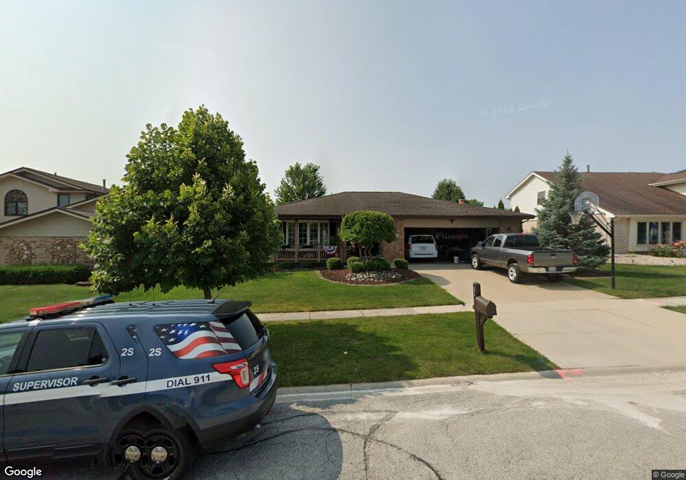
9019 Poplar St Tinley Park, IL 60487
Central Tinley Park NeighborhoodEstimated Value: $435,000 - $459,000
4
Beds
3
Baths
2,045
Sq Ft
$218/Sq Ft
Est. Value
About This Home
This home is located at 9019 Poplar St, Tinley Park, IL 60487 and is currently estimated at $446,009, approximately $218 per square foot. 9019 Poplar St is a home located in Cook County with nearby schools including Christa Mcauliffe School, Prairie View Middle School, and Victor J Andrew High School.
Ownership History
Date
Name
Owned For
Owner Type
Purchase Details
Closed on
Jan 7, 2010
Sold by
St John Patrick J and St John Annette M
Bought by
St John Patrick J and St John Annette M
Current Estimated Value
Home Financials for this Owner
Home Financials are based on the most recent Mortgage that was taken out on this home.
Original Mortgage
$225,000
Outstanding Balance
$147,125
Interest Rate
4.87%
Mortgage Type
New Conventional
Estimated Equity
$298,884
Purchase Details
Closed on
Jan 6, 2009
Sold by
Shervino Robert F and Shervino Josephine M
Bought by
St John Patrick J and Shervino Annette M
Home Financials for this Owner
Home Financials are based on the most recent Mortgage that was taken out on this home.
Original Mortgage
$225,000
Interest Rate
5.44%
Mortgage Type
Unknown
Create a Home Valuation Report for This Property
The Home Valuation Report is an in-depth analysis detailing your home's value as well as a comparison with similar homes in the area
Home Values in the Area
Average Home Value in this Area
Purchase History
| Date | Buyer | Sale Price | Title Company |
|---|---|---|---|
| St John Patrick J | -- | Lawyers Title Insurance Corp | |
| St John Patrick J | $310,000 | Fatic |
Source: Public Records
Mortgage History
| Date | Status | Borrower | Loan Amount |
|---|---|---|---|
| Open | St John Patrick J | $225,000 | |
| Closed | St John Patrick J | $225,000 |
Source: Public Records
Tax History Compared to Growth
Tax History
| Year | Tax Paid | Tax Assessment Tax Assessment Total Assessment is a certain percentage of the fair market value that is determined by local assessors to be the total taxable value of land and additions on the property. | Land | Improvement |
|---|---|---|---|---|
| 2024 | $9,352 | $33,497 | $5,725 | $27,772 |
| 2023 | $7,201 | $37,000 | $5,725 | $31,275 |
| 2022 | $7,201 | $23,620 | $5,009 | $18,611 |
| 2021 | $7,000 | $23,619 | $5,009 | $18,610 |
| 2020 | $6,895 | $23,619 | $5,009 | $18,610 |
| 2019 | $7,487 | $26,515 | $4,531 | $21,984 |
| 2018 | $7,325 | $26,515 | $4,531 | $21,984 |
| 2017 | $7,559 | $27,844 | $4,531 | $23,313 |
| 2016 | $6,930 | $23,364 | $4,054 | $19,310 |
| 2015 | $6,815 | $23,364 | $4,054 | $19,310 |
| 2014 | $6,774 | $23,364 | $4,054 | $19,310 |
| 2013 | $8,101 | $29,453 | $4,054 | $25,399 |
Source: Public Records
Map
Nearby Homes
- 17533 Pecan Ln
- 17964 Upland Dr
- 9280 Windsor Pkwy Unit 92
- 18055 Upland Dr
- 9260 Windsor Pkwy Unit 80
- 17631 Dover Ct
- 9201 175th St
- 9038 Mansfield Dr Unit 8
- Fremont Plan at Radcliffe Place
- Calysta Plan at Radcliffe Place
- Danbury Plan at Radcliffe Place
- Briarcliffe Plan at Radcliffe Place
- Eden Plan at Radcliffe Place
- Amberwood Plan at Radcliffe Place
- 9051 Mansfield Dr Unit 1
- 18248 Murphy Cir Unit 182
- 17535 S La Grange Rd
- 17535-2 Lagrange Rd
- 17230 Shetland Dr
- 17500 Lagrange Rd