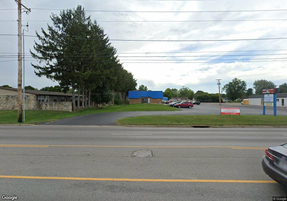
905 N 21st St Newark, OH 43055
Estimated Value: $807,703
--
Bed
--
Bath
7,872
Sq Ft
$103/Sq Ft
Est. Value
About This Home
This home is located at 905 N 21st St, Newark, OH 43055 and is currently estimated at $807,703, approximately $102 per square foot. 905 N 21st St is a home located in Licking County with nearby schools including Legend Elementary School, Liberty Middle School, and Newark High School.
Ownership History
Date
Name
Owned For
Owner Type
Purchase Details
Closed on
Jun 13, 2019
Sold by
Swordfish City Llc
Bought by
Jnme Investments Llc
Current Estimated Value
Purchase Details
Closed on
May 12, 2017
Sold by
905 N 21St Street Llc
Bought by
Swordfish City Llc
Purchase Details
Closed on
Jan 11, 2007
Sold by
Stefanich Raymond J
Bought by
905 N 21St Street Llc
Purchase Details
Closed on
Sep 29, 2006
Sold by
Willruth Inc
Bought by
Stefanich Raymond J and William J Stefanich Revocable Trust
Create a Home Valuation Report for This Property
The Home Valuation Report is an in-depth analysis detailing your home's value as well as a comparison with similar homes in the area
Home Values in the Area
Average Home Value in this Area
Purchase History
| Date | Buyer | Sale Price | Title Company |
|---|---|---|---|
| Jnme Investments Llc | -- | None Available | |
| Swordfish City Llc | $362,500 | Stimson House Title | |
| 905 N 21St Street Llc | -- | Attorney | |
| Stefanich Raymond J | -- | None Available |
Source: Public Records
Tax History Compared to Growth
Tax History
| Year | Tax Paid | Tax Assessment Tax Assessment Total Assessment is a certain percentage of the fair market value that is determined by local assessors to be the total taxable value of land and additions on the property. | Land | Improvement |
|---|---|---|---|---|
| 2024 | $6,949 | $168,360 | $78,930 | $89,430 |
| 2023 | $6,934 | $168,360 | $78,930 | $89,430 |
| 2022 | $6,997 | $146,550 | $68,950 | $77,600 |
| 2021 | $7,370 | $146,550 | $68,950 | $77,600 |
| 2020 | $7,504 | $146,550 | $68,950 | $77,600 |
| 2019 | $5,366 | $103,390 | $68,950 | $34,440 |
| 2018 | $6,617 | $0 | $0 | $0 |
| 2017 | $8,613 | $0 | $0 | $0 |
| 2016 | $10,690 | $0 | $0 | $0 |
| 2015 | $10,943 | $0 | $0 | $0 |
| 2014 | $12,550 | $0 | $0 | $0 |
| 2013 | $10,561 | $0 | $0 | $0 |
Source: Public Records
Map
Nearby Homes
- 584 Moull St Unit A
- 913 Roosevelt Ct
- 473 Meadowbrook Dr
- 440 Reverie Place
- 712 Stone Ridge Way
- 188 Meadow Dr
- 184 Meadow Dr
- 711 Sherwick Rd
- 1006 Kingsbury Ct Unit 1006
- 709 Meadow Dr
- 855 E Village Dr
- 632 Granville Rd
- 565 Granville St
- 245 Rugg Ave
- 425 N 11th St
- 189 N Quentin Rd
- 181 S Quentin Rd
- 408 Granville St
- 979 Granville Rd
- 376 Woods Ave
- 891 N 21st St
- 882 Cleveland Ave
- 874 Cleveland Ave
- 890 Cleveland Ave
- 866 Cleveland Ave
- 898 Cleveland Ave
- 860 Cleveland Ave
- 906 Cleveland Ave
- 910 N 21st St
- 879 Cleveland Ave
- 871 Cleveland Ave
- 914 Cleveland Ave
- 887 Cleveland Ave
- 861 Cleveland Ave
- 854 Cleveland Ave
- 895 Cleveland Ave
- 594 Moull St Unit ST12
- 594 Moull St Unit ST11
- 594 Moull St Unit ST10
- 594 Moull St Unit 9