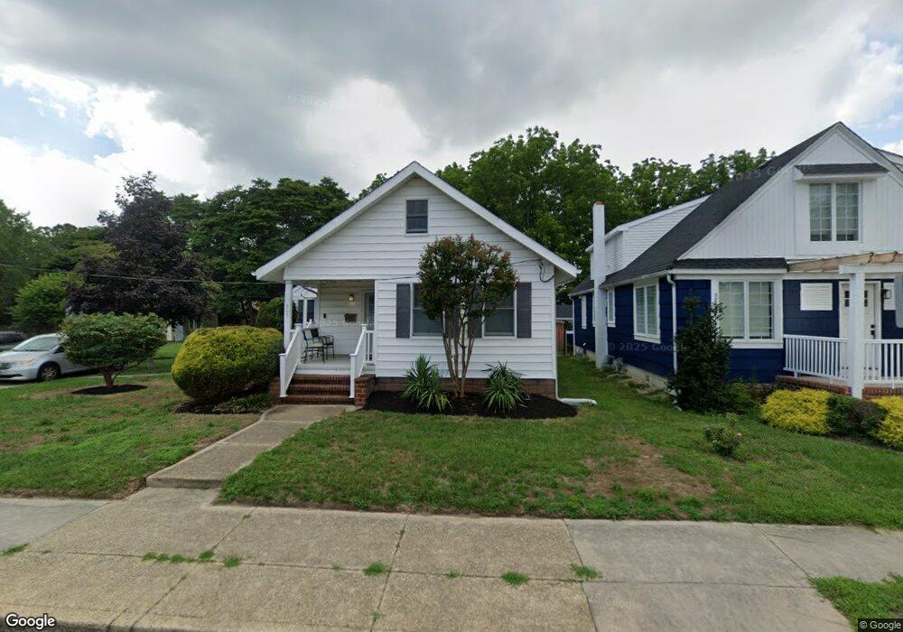
905 Oak Ave Linwood, NJ 08221
Estimated Value: $434,928 - $562,000
--
Bed
--
Bath
1,830
Sq Ft
$273/Sq Ft
Est. Value
About This Home
This home is located at 905 Oak Ave, Linwood, NJ 08221 and is currently estimated at $498,982, approximately $272 per square foot. 905 Oak Ave is a home located in Atlantic County with nearby schools including Seaview Elementary School, Belhaven Middle School, and Mainland Regional High School.
Ownership History
Date
Name
Owned For
Owner Type
Purchase Details
Closed on
Nov 2, 2005
Current Estimated Value
Purchase Details
Closed on
Aug 18, 1998
Sold by
Blitzstein Marc and Blitzstein Michel
Bought by
Sedergran Gayle L and Cogan James
Home Financials for this Owner
Home Financials are based on the most recent Mortgage that was taken out on this home.
Original Mortgage
$80,000
Interest Rate
6.86%
Purchase Details
Closed on
Feb 28, 1990
Sold by
Blitzstein Marc
Bought by
Blitzstein Marc and Blitzstein Michel
Create a Home Valuation Report for This Property
The Home Valuation Report is an in-depth analysis detailing your home's value as well as a comparison with similar homes in the area
Home Values in the Area
Average Home Value in this Area
Purchase History
| Date | Buyer | Sale Price | Title Company |
|---|---|---|---|
| -- | -- | -- | |
| Sedergran Gayle L | $100,000 | Fidelity National Title | |
| Blitzstein Marc | -- | -- |
Source: Public Records
Mortgage History
| Date | Status | Borrower | Loan Amount |
|---|---|---|---|
| Previous Owner | Sedergran Gayle L | $80,000 |
Source: Public Records
Tax History Compared to Growth
Tax History
| Year | Tax Paid | Tax Assessment Tax Assessment Total Assessment is a certain percentage of the fair market value that is determined by local assessors to be the total taxable value of land and additions on the property. | Land | Improvement |
|---|---|---|---|---|
| 2025 | $9,572 | $250,900 | $115,100 | $135,800 |
| 2024 | $9,572 | $250,900 | $115,100 | $135,800 |
| 2023 | $9,128 | $250,900 | $115,100 | $135,800 |
| 2022 | $9,128 | $250,900 | $115,100 | $135,800 |
| 2021 | $9,047 | $250,900 | $115,100 | $135,800 |
| 2020 | $8,922 | $250,900 | $115,100 | $135,800 |
| 2019 | $8,731 | $250,900 | $115,100 | $135,800 |
| 2018 | $8,536 | $250,900 | $115,100 | $135,800 |
| 2017 | $8,365 | $250,900 | $115,100 | $135,800 |
| 2016 | $8,084 | $250,900 | $115,100 | $135,800 |
| 2015 | $8,092 | $250,900 | $115,100 | $135,800 |
| 2014 | $8,119 | $271,900 | $115,100 | $156,800 |
Source: Public Records
Map
Nearby Homes
- 901 Oak Ave
- 921 Oak Grove Ave
- 1005 Bartlett Ave
- 1026 Bartlett Dr
- 1026 Bartlett Ave
- 500 Davis Ave
- 15 Elm Ave
- 104 W Poplar Ave
- 309 Haines Ave
- 130 Wilson Ave
- 1050 Shore Rd
- 120 W Devonshire Ave
- 210 Haines Ave
- 2 Sandy Ct
- 34 Crossing Dr
- 28 Crossing Dr
- 7 Woodstock Dr
- 605 Shore Rd
- 103 Country Club Dr
- 1201 Woodlynne Blvd