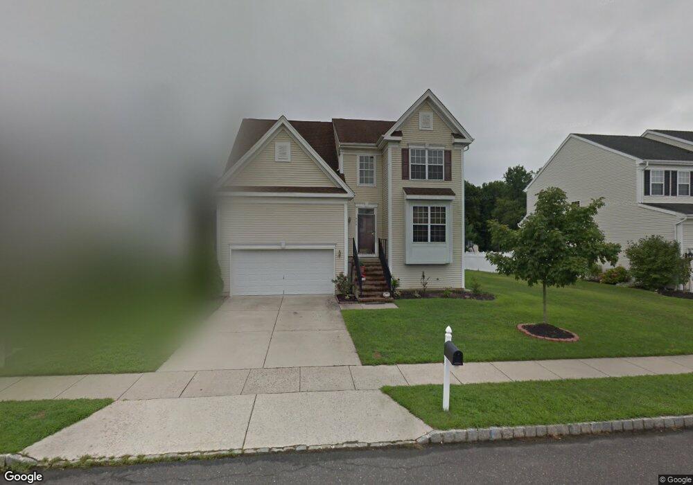
906 Denston Rd West Deptford, NJ 08086
West Deptford Township NeighborhoodEstimated Value: $480,560 - $571,000
--
Bed
--
Bath
2,294
Sq Ft
$230/Sq Ft
Est. Value
About This Home
This home is located at 906 Denston Rd, West Deptford, NJ 08086 and is currently estimated at $527,140, approximately $229 per square foot. 906 Denston Rd is a home located in Gloucester County with nearby schools including Green-Fields Elementary School, Red Bank Elementary School, and Oakview Elementary School.
Ownership History
Date
Name
Owned For
Owner Type
Purchase Details
Closed on
Feb 21, 2007
Sold by
Nair Rajesh and Prabhakaran Viji
Bought by
Nair Rajesh and Prabhakaran Viji
Current Estimated Value
Home Financials for this Owner
Home Financials are based on the most recent Mortgage that was taken out on this home.
Original Mortgage
$360,000
Outstanding Balance
$220,144
Interest Rate
6.54%
Mortgage Type
New Conventional
Estimated Equity
$306,996
Purchase Details
Closed on
Mar 31, 2006
Sold by
Horton D R Inc Nj
Bought by
Prabhakaran Rajesh and Prabhakaran Viji
Home Financials for this Owner
Home Financials are based on the most recent Mortgage that was taken out on this home.
Original Mortgage
$248,764
Interest Rate
6.26%
Mortgage Type
Purchase Money Mortgage
Create a Home Valuation Report for This Property
The Home Valuation Report is an in-depth analysis detailing your home's value as well as a comparison with similar homes in the area
Home Values in the Area
Average Home Value in this Area
Purchase History
| Date | Buyer | Sale Price | Title Company |
|---|---|---|---|
| Nair Rajesh | -- | None Available | |
| Prabhakaran Rajesh | $310,995 | -- |
Source: Public Records
Mortgage History
| Date | Status | Borrower | Loan Amount |
|---|---|---|---|
| Open | Nair Rajesh | $360,000 | |
| Closed | Prabhakaran Rajesh | $248,764 |
Source: Public Records
Tax History Compared to Growth
Tax History
| Year | Tax Paid | Tax Assessment Tax Assessment Total Assessment is a certain percentage of the fair market value that is determined by local assessors to be the total taxable value of land and additions on the property. | Land | Improvement |
|---|---|---|---|---|
| 2025 | $9,708 | $278,000 | $63,200 | $214,800 |
| 2024 | $9,583 | $278,000 | $63,200 | $214,800 |
| 2023 | $9,583 | $278,000 | $63,200 | $214,800 |
| 2022 | $9,538 | $278,000 | $63,200 | $214,800 |
| 2021 | $9,505 | $278,000 | $63,200 | $214,800 |
| 2020 | $9,483 | $278,000 | $63,200 | $214,800 |
| 2019 | $9,218 | $278,000 | $63,200 | $214,800 |
| 2018 | $8,968 | $278,000 | $63,200 | $214,800 |
| 2017 | $8,760 | $278,000 | $63,200 | $214,800 |
| 2016 | $8,469 | $276,500 | $63,200 | $213,300 |
| 2015 | $8,427 | $288,800 | $63,200 | $225,600 |
| 2014 | $8,008 | $288,800 | $63,200 | $225,600 |
Source: Public Records
Map
Nearby Homes
- 640 Worcester Dr
- 1091 Buckingham Dr Unit 45
- 1066 Buckingham Dr
- 1012 Moore Rd Unit 6
- 12 Highbridge Ln Unit I2
- 125 Lionheart Ln Unit C125
- 863 Doncaster Dr
- 87 Woodway Dr Unit 87
- 740 Carter Hill Dr
- 1220 Royal Ln
- 1102 Barnesdale Rd
- 1054 Kings Hwy
- 94 Aviary Rd
- 296 Ogden Station Rd
- 14 Aviary Rd
- 1311 Barnesdale Rd
- 4 Saint Emilion Ct
- 90 Ginger Dr
- 1810 Fernwood Dr
- 97 Church St