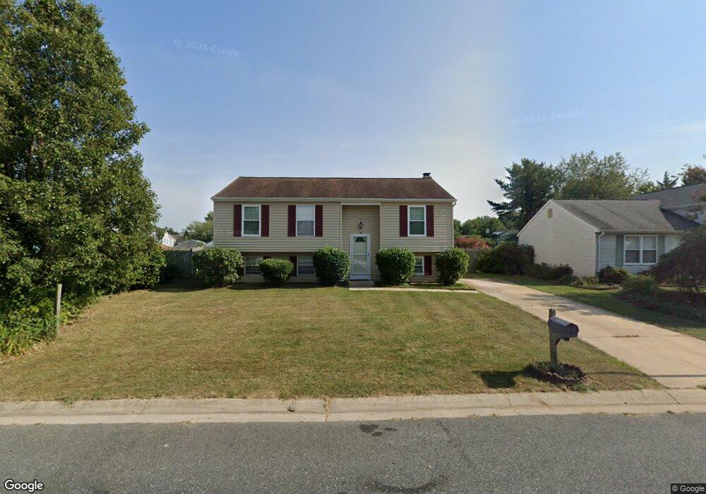
907 Cambridge Ave Aberdeen, MD 21001
Estimated Value: $239,000 - $338,000
--
Bed
1
Bath
1,020
Sq Ft
$280/Sq Ft
Est. Value
About This Home
This home is located at 907 Cambridge Ave, Aberdeen, MD 21001 and is currently estimated at $285,773, approximately $280 per square foot. 907 Cambridge Ave is a home located in Harford County with nearby schools including G. Lisby Elementary At Hillsdale, Aberdeen Middle School, and Aberdeen High School.
Ownership History
Date
Name
Owned For
Owner Type
Purchase Details
Closed on
Oct 4, 1999
Sold by
Williams Edward L
Bought by
Dudley Samuel L and Dudley Margaret L
Current Estimated Value
Purchase Details
Closed on
Jun 7, 1984
Sold by
Chesapeake Homes Inc
Bought by
Williams Edward L
Home Financials for this Owner
Home Financials are based on the most recent Mortgage that was taken out on this home.
Original Mortgage
$42,950
Interest Rate
14.29%
Purchase Details
Closed on
Dec 21, 1983
Sold by
Lewis-Harlan
Bought by
Chesapeake Homes Inc
Create a Home Valuation Report for This Property
The Home Valuation Report is an in-depth analysis detailing your home's value as well as a comparison with similar homes in the area
Home Values in the Area
Average Home Value in this Area
Purchase History
| Date | Buyer | Sale Price | Title Company |
|---|---|---|---|
| Dudley Samuel L | $116,000 | -- | |
| Williams Edward L | $68,000 | -- | |
| Chesapeake Homes Inc | $8,500 | -- |
Source: Public Records
Mortgage History
| Date | Status | Borrower | Loan Amount |
|---|---|---|---|
| Previous Owner | Williams Edward L | $42,950 | |
| Closed | Dudley Samuel L | -- |
Source: Public Records
Tax History Compared to Growth
Tax History
| Year | Tax Paid | Tax Assessment Tax Assessment Total Assessment is a certain percentage of the fair market value that is determined by local assessors to be the total taxable value of land and additions on the property. | Land | Improvement |
|---|---|---|---|---|
| 2025 | $2,227 | $250,733 | $0 | $0 |
| 2024 | $2,227 | $233,567 | $0 | $0 |
| 2023 | $2,063 | $216,400 | $53,200 | $163,200 |
| 2022 | $1,962 | $205,833 | $0 | $0 |
| 2021 | $1,858 | $195,267 | $0 | $0 |
| 2020 | $1,858 | $184,700 | $53,200 | $131,500 |
| 2019 | $1,810 | $179,933 | $0 | $0 |
| 2018 | $1,746 | $175,167 | $0 | $0 |
| 2017 | $1,698 | $170,400 | $0 | $0 |
| 2016 | -- | $170,400 | $0 | $0 |
| 2015 | $1,957 | $170,400 | $0 | $0 |
| 2014 | $1,957 | $190,200 | $0 | $0 |
Source: Public Records
Map
Nearby Homes
- 363 Stratford Ave
- 615 Pinehurst St
- 648 S Rogers St
- 426 Washington St
- 609 S Rogers St
- 435 Edmund St
- 515 S Law St
- 458 Bonnett St
- 722 Bur Oak Ct Unit 77
- 519 S Parke St
- 444 Chestnut St
- 414 S Parke St
- 0 Harford St Unit MDHR2039982
- 0 S Philadelphia Blvd
- 418 Hiobs Ln
- 406 Ford St
- 647 Elm St
- 180 Old Post Rd
- 0 Perryman Rd Unit MDHR2027610
- 754 Custis St
- 911 Cambridge Ave
- 368 Stratford Ave
- 366 Stratford Ave
- 364 Stratford Ave
- 915 Cambridge Ave
- 912 Harlan Ave
- 916 Harlan Ave
- 908 Harlan Ave
- 370 Stratford Ave
- 908 Cambridge Ave
- 919 Cambridge Ave
- 360 Stratford Ave
- 920 Harlan Ave
- 372 Stratford Ave
- 912 Cambridge Ave
- 367 Stratford Ave
- 358 Stratford Ave
- 924 Harlan Ave
- 374 Stratford Ave
- 923 Cambridge Ave