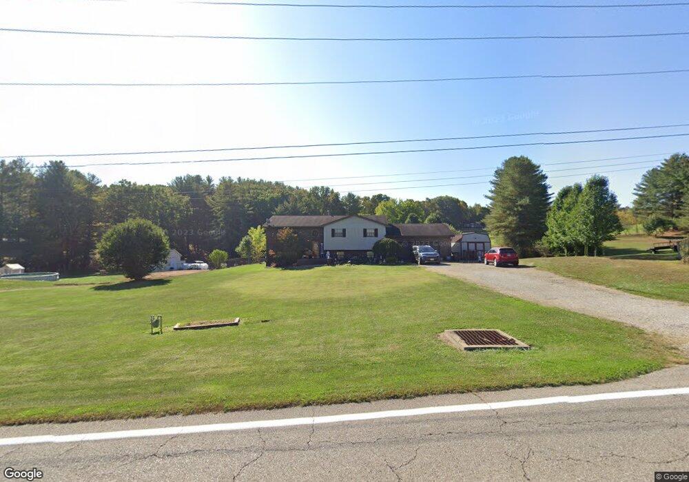
9070 State Route 550 Vincent, OH 45784
Estimated Value: $201,000 - $309,000
3
Beds
1
Bath
1,242
Sq Ft
$214/Sq Ft
Est. Value
About This Home
This home is located at 9070 State Route 550, Vincent, OH 45784 and is currently estimated at $266,229, approximately $214 per square foot. 9070 State Route 550 is a home located in Washington County with nearby schools including Warren High School.
Ownership History
Date
Name
Owned For
Owner Type
Purchase Details
Closed on
Mar 7, 2006
Sold by
Miracle Richard and Miracle Mary
Bought by
Brown Tamera K and Delaney Paula K
Current Estimated Value
Home Financials for this Owner
Home Financials are based on the most recent Mortgage that was taken out on this home.
Original Mortgage
$166,721
Outstanding Balance
$95,333
Interest Rate
6.37%
Mortgage Type
FHA
Estimated Equity
$170,896
Purchase Details
Closed on
Jun 4, 2003
Bought by
Miracle Richard and Miracle Mary
Purchase Details
Closed on
Jul 27, 2001
Bought by
Given Robert G and Given Lewi
Purchase Details
Closed on
Jun 29, 1994
Bought by
Shade Lawrence E and Shade Sharo
Purchase Details
Closed on
Mar 20, 1990
Bought by
Hern Clyde W and Mary Low
Purchase Details
Closed on
Dec 1, 1989
Bought by
Stone Maxine R
Create a Home Valuation Report for This Property
The Home Valuation Report is an in-depth analysis detailing your home's value as well as a comparison with similar homes in the area
Home Values in the Area
Average Home Value in this Area
Purchase History
| Date | Buyer | Sale Price | Title Company |
|---|---|---|---|
| Brown Tamera K | $169,350 | None Available | |
| Miracle Richard | $132,500 | -- | |
| Given Robert G | $123,500 | -- | |
| Shade Lawrence E | $79,500 | -- | |
| Hern Clyde W | $69,500 | -- | |
| Stone Maxine R | $6,500 | -- |
Source: Public Records
Mortgage History
| Date | Status | Borrower | Loan Amount |
|---|---|---|---|
| Open | Brown Tamera K | $166,721 |
Source: Public Records
Tax History Compared to Growth
Tax History
| Year | Tax Paid | Tax Assessment Tax Assessment Total Assessment is a certain percentage of the fair market value that is determined by local assessors to be the total taxable value of land and additions on the property. | Land | Improvement |
|---|---|---|---|---|
| 2024 | $2,835 | $73,200 | $8,000 | $65,200 |
| 2023 | $2,835 | $73,200 | $8,000 | $65,200 |
| 2022 | $2,801 | $73,200 | $8,000 | $65,200 |
| 2021 | $2,654 | $66,230 | $6,620 | $59,610 |
| 2020 | $2,652 | $66,230 | $6,620 | $59,610 |
| 2019 | $2,615 | $66,230 | $6,620 | $59,610 |
| 2018 | $2,535 | $62,290 | $5,300 | $56,990 |
| 2017 | $2,502 | $62,290 | $5,300 | $56,990 |
| 2016 | $3,171 | $62,290 | $5,300 | $56,990 |
| 2015 | $2,052 | $56,740 | $5,100 | $51,640 |
| 2014 | $2,920 | $56,740 | $5,100 | $51,640 |
| 2013 | $1,983 | $56,740 | $5,100 | $51,640 |
Source: Public Records
Map
Nearby Homes
- 0 Ohio 550
- 10270 Ohio 550
- 0 Layman Rd Unit 5162075
- 0 Layman Rd Unit 5162072
- 10507 Ohio 339
- 6570 State Route 339
- 545 Lewis Pointe Dr
- 1998 Reese Rd
- 735 Timberline Dr
- 11584 State Route 339
- 135 Knob Dr
- 120 Fleming Dr
- 265 James Ln
- 250 Northlake Dr
- 0 Brackenridge Rd Unit 23885979
- 0 Brackenridge Rd Unit 23885976
- 0 Fisher Ridge Rd
- 28 Mcgill Rd
- 2207 Veto Rd
- 0 Fisher Ridge Rd Tract 1
- 9070 Ohio 550
- 9020 State Route 550
- 9020 State Route 550
- 9110 State Route 550
- 9008 State Route 550
- 9035 State Route 550
- 9085 State Route 550
- 9105 State Route 550
- 9141 State Route 550
- 9250 State Route 550
- 8998 State Route 550
- 8920 State Route 550
- 8920 State Route 550
- 2420 State Route 550
- 8780 Ohio 550
- 8780 State Route 550
- 9390 State Route 550
- 2280 McDonald Rd
- 2150 McDonald Rd
- 9420 State Route 550