9074 Red Oak Trail Saint Paul, MN 55129
Estimated Value: $577,155 - $672,000
4
Beds
3
Baths
2,572
Sq Ft
$237/Sq Ft
Est. Value
About This Home
This home is located at 9074 Red Oak Trail, Saint Paul, MN 55129 and is currently estimated at $610,789, approximately $237 per square foot. 9074 Red Oak Trail is a home with nearby schools including Red Rock Elementary School, Lake Middle School, and East Ridge High School.
Ownership History
Date
Name
Owned For
Owner Type
Purchase Details
Closed on
Mar 20, 2018
Sold by
Robert Thomas Inc
Bought by
Kallman Brian and Kallman Jennifer
Current Estimated Value
Home Financials for this Owner
Home Financials are based on the most recent Mortgage that was taken out on this home.
Original Mortgage
$420,172
Outstanding Balance
$359,541
Interest Rate
4.32%
Mortgage Type
New Conventional
Estimated Equity
$251,248
Purchase Details
Closed on
Oct 26, 2017
Sold by
Tradition Wwoodbuy Llc
Bought by
Robert Thomas Inc
Create a Home Valuation Report for This Property
The Home Valuation Report is an in-depth analysis detailing your home's value as well as a comparison with similar homes in the area
Home Values in the Area
Average Home Value in this Area
Purchase History
| Date | Buyer | Sale Price | Title Company |
|---|---|---|---|
| Kallman Brian | $494,321 | Esquire Title Services Llc | |
| Robert Thomas Inc | $107,000 | None Available |
Source: Public Records
Mortgage History
| Date | Status | Borrower | Loan Amount |
|---|---|---|---|
| Open | Kallman Brian | $420,172 |
Source: Public Records
Tax History Compared to Growth
Tax History
| Year | Tax Paid | Tax Assessment Tax Assessment Total Assessment is a certain percentage of the fair market value that is determined by local assessors to be the total taxable value of land and additions on the property. | Land | Improvement |
|---|---|---|---|---|
| 2024 | $6,668 | $537,800 | $150,000 | $387,800 |
| 2023 | $6,668 | $545,200 | $160,000 | $385,200 |
| 2022 | $5,868 | $523,100 | $162,000 | $361,100 |
| 2021 | $5,674 | $439,000 | $135,000 | $304,000 |
| 2020 | $6,052 | $429,000 | $125,000 | $304,000 |
| 2019 | $3,322 | $448,600 | $135,000 | $313,600 |
| 2018 | $1,088 | $246,000 | $130,000 | $116,000 |
| 2017 | $526 | $130,000 | $130,000 | $0 |
| 2016 | -- | $26,700 | $26,700 | $0 |
Source: Public Records
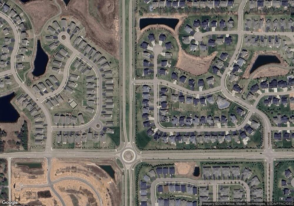
Map
Nearby Homes
- 5174 Sundial Ln
- 5194 Sundial Ln
- 4764 Ashton Curve
- 5237 Windlass Dr
- 4983 Sunflower Dr
- 5189 Windlass Dr
- 9125 Compass Pointe Rd
- 5014 Dale Ridge Rd
- 4418 Ashton Curve
- Vanderbilt Plan at Westwind - Landmark Collection
- Springfield Plan at Westwind - Discovery Collection
- Itasca Plan at Westwind - Landmark Collection
- McKinley Plan at Westwind - Landmark Collection
- Bristol Plan at Westwind - Discovery Collection
- Lewis Plan at Westwind - Landmark Collection
- Washburn Plan at Westwind - Landmark Collection
- Revere Plan at Westwind - Colonial Manor Collection
- Markham Plan at Westwind - Discovery Collection
- Snelling Plan at Westwind - Landmark Collection
- Burnham Plan at Westwind - Discovery Collection
- 9068 Red Oak Trail
- 9068 Prairie Oak Trail
- 9080 Red Oak Trail
- 9086 Red Oak Trail
- 9062 Red Oak Trail
- 9073 Prairie Oak Trail
- 9067 Red Oak Trail
- 9067 Prairie Oak Trail
- 9079 Red Oak Trail
- 9079 Prairie Oak Trail
- 9090 Red Oak Trail
- 9061 Red Oak Trail
- 9085 Red Oak Trail
- 9094 Red Oak Trail
- 9000 Bur Oak Ct
- 9027 Bur Oak Rd
- 4793 Copper Cir
- 4791 Copper Cir
- 4795 Copper Cir
- 4789 Copper Cir