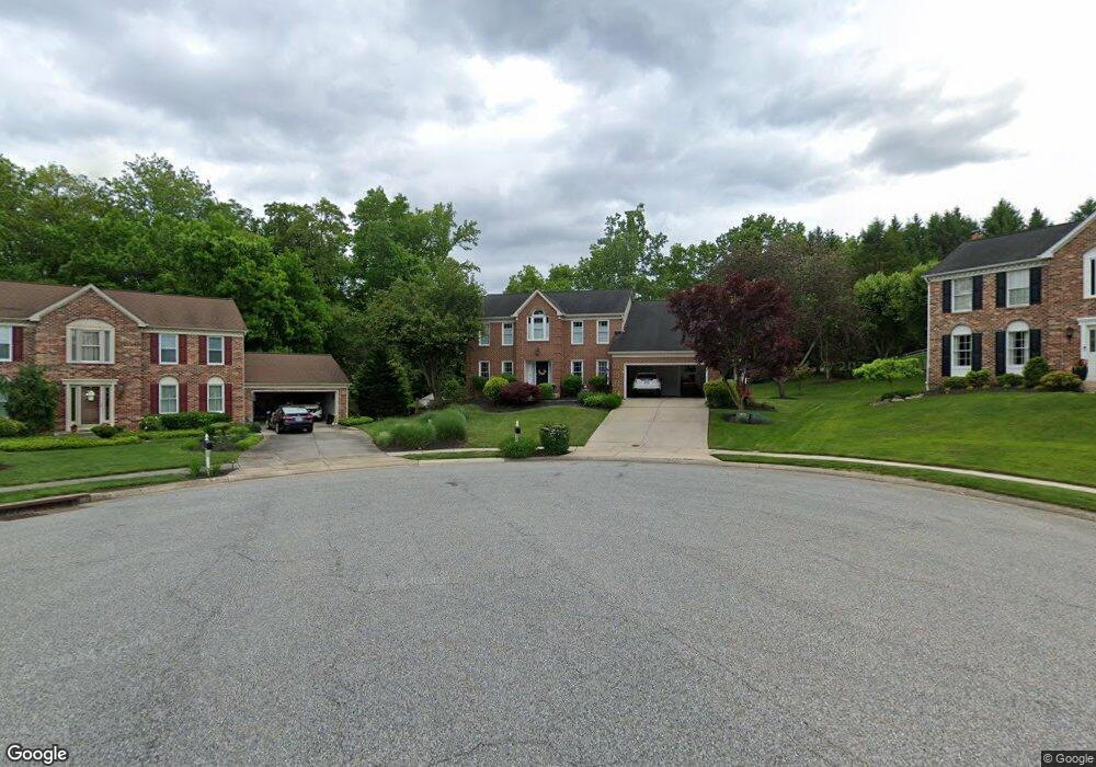
909 Millstone Ct Bel Air, MD 21014
Estimated Value: $650,000 - $747,000
--
Bed
4
Baths
2,900
Sq Ft
$239/Sq Ft
Est. Value
About This Home
This home is located at 909 Millstone Ct, Bel Air, MD 21014 and is currently estimated at $694,302, approximately $239 per square foot. 909 Millstone Ct is a home located in Harford County with nearby schools including Homestead-Wakefield Elementary School, Bel Air Middle School, and Bel Air High School.
Ownership History
Date
Name
Owned For
Owner Type
Purchase Details
Closed on
Feb 4, 2003
Sold by
Meehan Charles A
Bought by
Carnaggio James B and Carnaggio Denise B
Current Estimated Value
Purchase Details
Closed on
Jul 13, 1989
Sold by
Ryland Group Inc The
Bought by
Meehan Charles A
Home Financials for this Owner
Home Financials are based on the most recent Mortgage that was taken out on this home.
Original Mortgage
$202,250
Interest Rate
10.03%
Purchase Details
Closed on
Mar 29, 1989
Sold by
Bel Air Land Development Iv
Bought by
Ryland Group Inc The
Create a Home Valuation Report for This Property
The Home Valuation Report is an in-depth analysis detailing your home's value as well as a comparison with similar homes in the area
Home Values in the Area
Average Home Value in this Area
Purchase History
| Date | Buyer | Sale Price | Title Company |
|---|---|---|---|
| Carnaggio James B | $339,000 | -- | |
| Meehan Charles A | $252,900 | -- | |
| Ryland Group Inc The | $38,900 | -- |
Source: Public Records
Mortgage History
| Date | Status | Borrower | Loan Amount |
|---|---|---|---|
| Previous Owner | Meehan Charles A | $202,250 | |
| Closed | Carnaggio James B | -- |
Source: Public Records
Tax History Compared to Growth
Tax History
| Year | Tax Paid | Tax Assessment Tax Assessment Total Assessment is a certain percentage of the fair market value that is determined by local assessors to be the total taxable value of land and additions on the property. | Land | Improvement |
|---|---|---|---|---|
| 2025 | $6,077 | $581,700 | $117,000 | $464,700 |
| 2024 | $6,077 | $557,633 | $0 | $0 |
| 2023 | $5,517 | $533,567 | $0 | $0 |
| 2022 | $5,517 | $509,500 | $117,000 | $392,500 |
| 2021 | $11,033 | $485,300 | $0 | $0 |
| 2020 | $5,297 | $461,100 | $0 | $0 |
| 2019 | $5,042 | $436,900 | $121,400 | $315,500 |
| 2018 | $4,963 | $434,000 | $0 | $0 |
| 2017 | $4,930 | $436,900 | $0 | $0 |
| 2016 | -- | $428,200 | $0 | $0 |
| 2015 | $4,756 | $422,067 | $0 | $0 |
| 2014 | $4,756 | $415,933 | $0 | $0 |
Source: Public Records
Map
Nearby Homes
- 1219 Starmount Ln
- 12 Overbrook Ln
- 4 Ashley Way
- 906 Whispering Ridge Ln
- 1039 Wingate Ct
- 1818 Selvin Dr Unit 202
- 1600 Martha Ct Unit 304
- 1600 Martha Ct Unit 301
- 916 Cheswold Ct
- 1313 Kelsey Ct
- 1308 Saratoga Dr
- 1312 Scottsdale Dr Unit H
- 1314 Scottsdale Dr Unit G
- 1310 Scottsdale Dr Unit R
- 1307 Scottsdale Dr Unit J
- 1307 Scottsdale Dr Unit G
- 1308 Scottsdale Dr Unit L
- 1453 Redfield Rd
- 1309 Sheridan Place Unit 99
- 1358 Merry Hill Ct
- 907 Millstone Ct
- 906 Featherstone Ct
- 910 Millstone Ct
- 908 Millstone Ct
- 905 Millstone Ct
- 904 Featherstone Ct
- 418 Glenwood Rd
- 908 Featherstone Ct
- 906 Millstone Ct
- 800 Saint Andrews Way
- 800 St Andrews Way
- 420 Glenwood Rd
- 902 Featherstone Ct
- 903 Millstone Ct
- 904 Millstone Ct
- 907 Featherstone Ct
- 416 Glenwood Rd
- 905 Featherstone Ct
- 900 Featherstone Ct
- 901 Millstone Ct