910 Wyatt Cir Montrose, MN 55363
Estimated Value: $365,604 - $407,000
3
Beds
4
Baths
2,176
Sq Ft
$181/Sq Ft
Est. Value
About This Home
This home is located at 910 Wyatt Cir, Montrose, MN 55363 and is currently estimated at $394,151, approximately $181 per square foot. 910 Wyatt Cir is a home located in Wright County with nearby schools including Montrose Elementary School, Buffalo Community Middle School, and Buffalo Senior High School.
Ownership History
Date
Name
Owned For
Owner Type
Purchase Details
Closed on
May 30, 2025
Sold by
Thorson Heidi L and Thorson Michael T
Bought by
Kaul Heidi L
Current Estimated Value
Purchase Details
Closed on
Nov 30, 2005
Sold by
Homes Plus Designers Builders Inc
Bought by
Thorson Michael T and Thorson Heidi L
Purchase Details
Closed on
Aug 18, 2005
Sold by
Insignia Development Llc
Bought by
Homes Plus Designers Builders Inc
Create a Home Valuation Report for This Property
The Home Valuation Report is an in-depth analysis detailing your home's value as well as a comparison with similar homes in the area
Home Values in the Area
Average Home Value in this Area
Purchase History
| Date | Buyer | Sale Price | Title Company |
|---|---|---|---|
| Kaul Heidi L | -- | Stewart Title Guaranty Company | |
| Thorson Michael T | -- | -- | |
| Homes Plus Designers Builders Inc | $117,800 | -- |
Source: Public Records
Tax History Compared to Growth
Tax History
| Year | Tax Paid | Tax Assessment Tax Assessment Total Assessment is a certain percentage of the fair market value that is determined by local assessors to be the total taxable value of land and additions on the property. | Land | Improvement |
|---|---|---|---|---|
| 2025 | $4,324 | $361,900 | $50,000 | $311,900 |
| 2024 | $4,556 | $344,200 | $35,000 | $309,200 |
| 2023 | $4,402 | $395,300 | $70,000 | $325,300 |
| 2022 | $4,200 | $352,500 | $72,000 | $280,500 |
| 2021 | $4,234 | $293,900 | $40,000 | $253,900 |
| 2020 | $4,286 | $289,700 | $40,000 | $249,700 |
| 2019 | $4,100 | $287,500 | $0 | $0 |
| 2018 | $3,714 | $272,600 | $0 | $0 |
| 2017 | $3,466 | $249,000 | $0 | $0 |
| 2016 | $3,294 | $0 | $0 | $0 |
| 2015 | $3,194 | $0 | $0 | $0 |
| 2014 | -- | $0 | $0 | $0 |
Source: Public Records
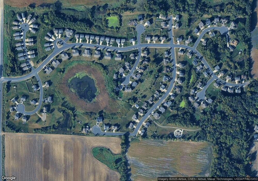
Map
Nearby Homes
- 1011 Alexander Ct
- Cameron Plan at Northridge
- Granite Plan at Northridge
- Harris Plan at Northridge
- 699 Aspen Ln
- 697 Aspen Ln
- 695 Aspen Ln
- 693 Aspen Ln
- 691 Aspen Ln
- 689 Aspen Ln
- 687 Aspen Ln
- 692 Aspen Ln
- 690 Aspen Ln
- 685 Aspen Ln
- 645 Fieldcrest Ave N
- 683 Aspen Ln
- 995 Fox Ave
- 643 Fieldcrest Ave N
- 684 Aspen Ln
- 1023 White Tail Ln