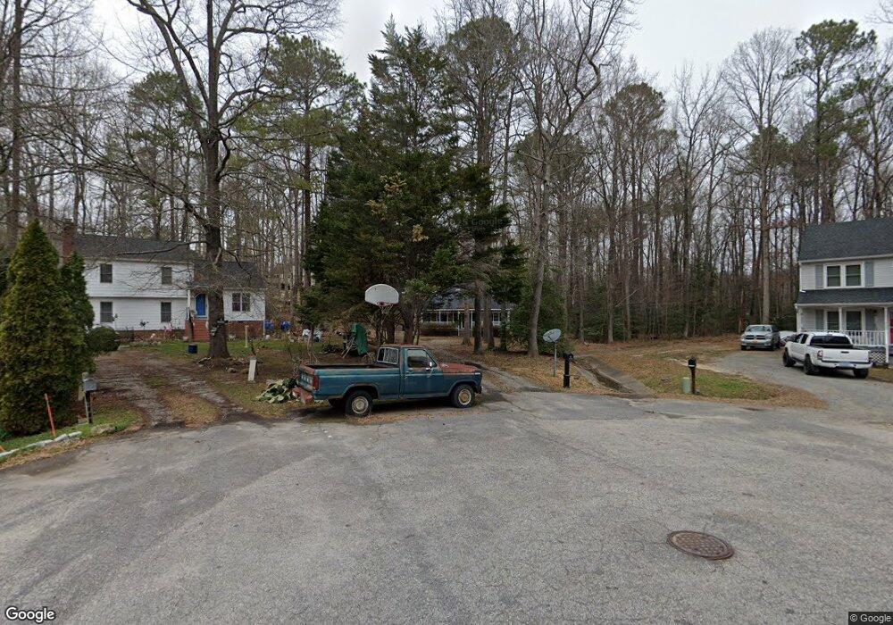
9100 Welhaven Dr North Chesterfield, VA 23236
North Chesterfield NeighborhoodEstimated Value: $331,050 - $354,000
3
Beds
2
Baths
1,534
Sq Ft
$223/Sq Ft
Est. Value
About This Home
This home is located at 9100 Welhaven Dr, North Chesterfield, VA 23236 and is currently estimated at $341,513, approximately $222 per square foot. 9100 Welhaven Dr is a home located in Chesterfield County with nearby schools including Jacobs Road Elementary School, Manchester Middle School, and Clover Hill High.
Ownership History
Date
Name
Owned For
Owner Type
Purchase Details
Closed on
Mar 25, 2002
Sold by
Sirles Robert L
Bought by
Van Vanallen R and Van Linda T
Current Estimated Value
Home Financials for this Owner
Home Financials are based on the most recent Mortgage that was taken out on this home.
Original Mortgage
$91,200
Outstanding Balance
$37,694
Interest Rate
6.91%
Mortgage Type
New Conventional
Estimated Equity
$303,819
Create a Home Valuation Report for This Property
The Home Valuation Report is an in-depth analysis detailing your home's value as well as a comparison with similar homes in the area
Home Values in the Area
Average Home Value in this Area
Purchase History
| Date | Buyer | Sale Price | Title Company |
|---|---|---|---|
| Van Vanallen R | $114,000 | -- |
Source: Public Records
Mortgage History
| Date | Status | Borrower | Loan Amount |
|---|---|---|---|
| Open | Van Vanallen R | $91,200 |
Source: Public Records
Tax History Compared to Growth
Tax History
| Year | Tax Paid | Tax Assessment Tax Assessment Total Assessment is a certain percentage of the fair market value that is determined by local assessors to be the total taxable value of land and additions on the property. | Land | Improvement |
|---|---|---|---|---|
| 2025 | $2,588 | $288,000 | $63,000 | $225,000 |
| 2024 | $2,588 | $276,500 | $58,000 | $218,500 |
| 2023 | $2,309 | $253,700 | $55,000 | $198,700 |
| 2022 | $2,132 | $231,700 | $52,000 | $179,700 |
| 2021 | $2,033 | $211,400 | $48,000 | $163,400 |
| 2020 | $1,883 | $198,200 | $45,000 | $153,200 |
| 2019 | $1,805 | $190,000 | $44,000 | $146,000 |
| 2018 | $1,767 | $186,000 | $44,000 | $142,000 |
| 2017 | $1,666 | $173,500 | $42,000 | $131,500 |
| 2016 | $1,588 | $165,400 | $40,000 | $125,400 |
| 2015 | $1,460 | $152,100 | $40,000 | $112,100 |
| 2014 | $1,421 | $148,000 | $39,000 | $109,000 |
Source: Public Records
Map
Nearby Homes
- 4205 Country Spring Ln
- 4121 Foxglove Rd
- 8832 Lyndale Dr
- 4029 Flintridge Rd
- 3832 Foxglove Rd
- 4110 Fordham Rd
- 9165 Chatham Grove Ln
- Arlington Plan at Wyntrebrooke Village
- Shenandoah Plan at Wyntrebrooke Village
- Louisa Plan at Wyntrebrooke Village
- Lexington Plan at Wyntrebrooke Village
- Covington Plan at Wyntrebrooke Village
- 9010 Kings Crown Rd
- 2901 Newquay Ln
- 9421 Amberleigh Cir
- 2821 Newquay Ln
- 9300 Amberleigh Cir
- 7961 Lyndale Dr
- 4201 Kempwood Place
- 7949 Lyndale Dr
- 9101 Welhaven Dr
- 9102 Welhaven Dr
- 9101 Barnwell Cir
- 4211 Fordham Rd
- 9103 Barnwell Cir
- 4119 Olde Liberty Rd
- 9100 Barnwell Cir
- 9104 Welhaven Dr
- 9103 Welhaven Dr
- 4125 Olde Liberty Rd
- 9105 Barnwell Cir
- 4201 Olde Liberty Rd
- 9105 Welhaven Dr
- 9102 Barnwell Cir
- 4207 Olde Liberty Rd
- 9106 Barnwell Cir
- 9108 Welhaven Dr
- 9107 Welhaven Dr
- 9104 Barnwell Cir
- 4124 Olde Liberty Rd