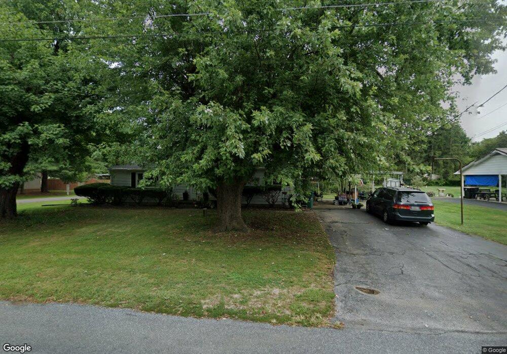
911 Reid Rd State Line, PA 17263
Estimated Value: $203,000 - $278,293
--
Bed
--
Bath
1,104
Sq Ft
$219/Sq Ft
Est. Value
About This Home
This home is located at 911 Reid Rd, State Line, PA 17263 and is currently estimated at $241,823, approximately $219 per square foot. 911 Reid Rd is a home with nearby schools including Greencastle-Antrim Primary School, Greencastle-Antrim Elementary School, and Greencastle-Antrim Middle School.
Ownership History
Date
Name
Owned For
Owner Type
Purchase Details
Closed on
Aug 18, 2008
Sold by
Richmond Sharon Lorraine and Maddox Donald Dean
Bought by
Maddox John David and Maddox Keenya W
Current Estimated Value
Home Financials for this Owner
Home Financials are based on the most recent Mortgage that was taken out on this home.
Original Mortgage
$105,885
Outstanding Balance
$70,208
Interest Rate
6.54%
Mortgage Type
New Conventional
Estimated Equity
$171,615
Purchase Details
Closed on
Aug 14, 2008
Sold by
Richmond Sharon Lorraine
Bought by
Richmond Sharon Lorraine and Maddox Donald Dean
Home Financials for this Owner
Home Financials are based on the most recent Mortgage that was taken out on this home.
Original Mortgage
$105,885
Outstanding Balance
$70,208
Interest Rate
6.54%
Mortgage Type
New Conventional
Estimated Equity
$171,615
Create a Home Valuation Report for This Property
The Home Valuation Report is an in-depth analysis detailing your home's value as well as a comparison with similar homes in the area
Home Values in the Area
Average Home Value in this Area
Purchase History
| Date | Buyer | Sale Price | Title Company |
|---|---|---|---|
| Maddox John David | $151,980 | None Available | |
| Richmond Sharon Lorraine | -- | None Available |
Source: Public Records
Mortgage History
| Date | Status | Borrower | Loan Amount |
|---|---|---|---|
| Open | Maddox John David | $105,885 |
Source: Public Records
Tax History Compared to Growth
Tax History
| Year | Tax Paid | Tax Assessment Tax Assessment Total Assessment is a certain percentage of the fair market value that is determined by local assessors to be the total taxable value of land and additions on the property. | Land | Improvement |
|---|---|---|---|---|
| 2025 | $2,921 | $17,460 | $1,050 | $16,410 |
| 2024 | $2,650 | $17,460 | $1,050 | $16,410 |
| 2023 | $2,619 | $17,460 | $1,050 | $16,410 |
| 2022 | $2,619 | $17,460 | $1,050 | $16,410 |
| 2021 | $2,568 | $17,460 | $1,050 | $16,410 |
| 2020 | $2,501 | $17,460 | $1,050 | $16,410 |
| 2019 | $2,444 | $17,460 | $1,050 | $16,410 |
| 2018 | $2,064 | $14,900 | $1,050 | $13,850 |
| 2017 | $2,011 | $14,900 | $1,050 | $13,850 |
| 2016 | $427 | $14,900 | $1,050 | $13,850 |
| 2015 | $398 | $14,900 | $1,050 | $13,850 |
| 2014 | $398 | $14,900 | $1,050 | $13,850 |
Source: Public Records
Map
Nearby Homes
- 171 East Ave
- 1171 1173 Ridgeview Dr
- 15621 Oak Rd
- 15444 Pennsylvania Ave
- 128 Hykes Rd E
- 110 Hykes Rd E
- Lot C3-2 Cedarbrook Dr
- Lot C3-1 Cedarbrook Dr
- 14732 Cedarbrook Dr
- 14799 Cedarbrook Dr
- 15480 Wedgewood Dr
- 684 Dresden Cir
- 1031 Dianne Dr
- 1033 Dianne Dr
- 14108 William Talcott Ln
- 14501 Molly Pitcher Hwy
- 18757 Mesa Terrace
- 19127 Grainary Dr
- 0 Paradise Church Rd Unit MDWA2027834
- 0 Hykes Rd
- 15367 Martinelli Dr
- 941 Reid Rd
- 835 Reid Rd
- 974 Reid Rd
- 14732 Byers Rd
- 781 Reid Rd
- 15345 Martinelli Dr
- 747 Reid Rd
- 742 Woodland Pkwy
- 914 Woodland Pkwy
- 936 Woodland Pkwy
- 840 Woodland Pkwy
- 660 Woodland Pkwy
- 878 Woodland Pkwy
- 768 Woodland Pkwy
- 1000 Woodland Pkwy
- 14710 Byers Rd
- 1000 Woodland Pkwy
- 791 Woodland Pkwy
- 763 Woodland Pkwy