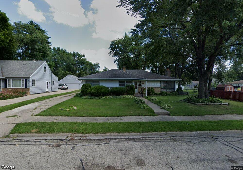
911 Westchester Dr Rockford, IL 61107
Estimated Value: $171,000 - $217,000
4
Beds
2
Baths
1,872
Sq Ft
$108/Sq Ft
Est. Value
About This Home
This home is located at 911 Westchester Dr, Rockford, IL 61107 and is currently estimated at $201,720, approximately $107 per square foot. 911 Westchester Dr is a home located in Winnebago County with nearby schools including Bloom Elementary School, Eisenhower Middle School, and Guilford High School.
Ownership History
Date
Name
Owned For
Owner Type
Purchase Details
Closed on
Sep 27, 2002
Sold by
Stout Patsy A
Bought by
Rambo Tommy and Rambo Linda
Current Estimated Value
Home Financials for this Owner
Home Financials are based on the most recent Mortgage that was taken out on this home.
Original Mortgage
$92,547
Interest Rate
3.87%
Mortgage Type
New Conventional
Create a Home Valuation Report for This Property
The Home Valuation Report is an in-depth analysis detailing your home's value as well as a comparison with similar homes in the area
Home Values in the Area
Average Home Value in this Area
Purchase History
| Date | Buyer | Sale Price | Title Company |
|---|---|---|---|
| Rambo Tommy | $92,000 | Commonwealth Land Title Ins | |
| Rambo Tommy | $92,000 | -- |
Source: Public Records
Mortgage History
| Date | Status | Borrower | Loan Amount |
|---|---|---|---|
| Previous Owner | Rambo Tommy | $92,547 | |
| Closed | Rambo Tommy | $26,638 |
Source: Public Records
Tax History Compared to Growth
Tax History
| Year | Tax Paid | Tax Assessment Tax Assessment Total Assessment is a certain percentage of the fair market value that is determined by local assessors to be the total taxable value of land and additions on the property. | Land | Improvement |
|---|---|---|---|---|
| 2024 | $1,888 | $53,656 | $8,002 | $45,654 |
| 2023 | $2,068 | $47,312 | $7,056 | $40,256 |
| 2022 | $3,575 | $42,288 | $6,307 | $35,981 |
| 2021 | $2,441 | $38,775 | $5,783 | $32,992 |
| 2020 | $2,561 | $36,656 | $5,467 | $31,189 |
| 2019 | $2,669 | $34,937 | $5,211 | $29,726 |
| 2018 | $3,327 | $32,925 | $4,911 | $28,014 |
| 2017 | $2,955 | $31,510 | $4,700 | $26,810 |
| 2016 | $3,009 | $30,920 | $4,612 | $26,308 |
| 2015 | $3,812 | $30,920 | $4,612 | $26,308 |
| 2014 | $4,371 | $35,032 | $5,771 | $29,261 |
Source: Public Records
Map
Nearby Homes
- 1104 Winthrop Ln
- 705 Woodlane Ave
- 819 James Ave
- 3610 Arden Ct
- 2920 Buckingham Dr
- 611 Robert Ave
- 2906 Buckingham Dr
- 1419 Roncevalles Ave
- 701 Lundvall Ave
- 2215 Guilford Rd
- 414 Hilton Ave
- 404 Vale Ave
- 3112 Highcrest Rd
- 2133 Guilford Rd
- 2224 Princeton Ave
- 3121 Crosby St
- 3820 Brendenwood Rd
- 233 N Calvin Park Blvd
- 3619 Crosby St
- 919 Westchester Dr
- 905 Westchester Dr
- 3008 Guilford Rd
- 3014 Guilford Rd
- 908 Luther Ave
- 914 Luther Ave
- 925 Westchester Dr
- 904 Luther Ave
- 916 Luther Ave
- 2924 Guilford Rd
- 912 Westchester Dr
- 3018 Guilford Rd
- 918 Westchester Dr
- 1003 Westchester Dr
- 2918 Guilford Rd
- 1004 Luther Ave
- 924 Westchester Dr
- 1007 Westchester Dr
- 1008 Luther Ave
- 1004 Westchester Dr