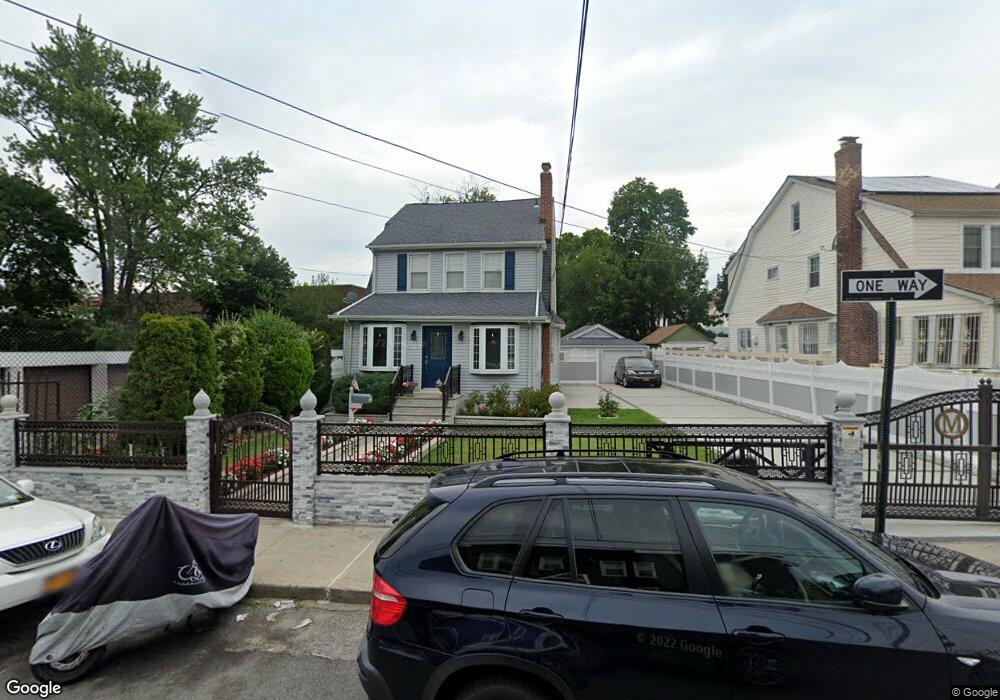
9124 197th St Hollis, NY 11423
Hollis NeighborhoodEstimated Value: $853,000 - $929,000
--
Bed
--
Bath
1,870
Sq Ft
$476/Sq Ft
Est. Value
About This Home
This home is located at 9124 197th St, Hollis, NY 11423 and is currently estimated at $889,789, approximately $475 per square foot. 9124 197th St is a home located in Queens County with nearby schools including P.S. 35 Nathaniel Woodhull, I.S. 238 Susan B Anthony Academy, and Wellspring Elementary & Middle.
Ownership History
Date
Name
Owned For
Owner Type
Purchase Details
Closed on
Apr 30, 1998
Sold by
First Bank Of Beverly Hills Fsb
Bought by
Nyack Andrew and Candelaria Margaret M
Current Estimated Value
Home Financials for this Owner
Home Financials are based on the most recent Mortgage that was taken out on this home.
Original Mortgage
$163,600
Interest Rate
7.02%
Mortgage Type
FHA
Create a Home Valuation Report for This Property
The Home Valuation Report is an in-depth analysis detailing your home's value as well as a comparison with similar homes in the area
Home Values in the Area
Average Home Value in this Area
Purchase History
| Date | Buyer | Sale Price | Title Company |
|---|---|---|---|
| Nyack Andrew | $165,000 | Uslife Title Insurance Compa |
Source: Public Records
Mortgage History
| Date | Status | Borrower | Loan Amount |
|---|---|---|---|
| Previous Owner | Nyack Andrew | $163,600 |
Source: Public Records
Tax History Compared to Growth
Tax History
| Year | Tax Paid | Tax Assessment Tax Assessment Total Assessment is a certain percentage of the fair market value that is determined by local assessors to be the total taxable value of land and additions on the property. | Land | Improvement |
|---|---|---|---|---|
| 2025 | $6,851 | $37,640 | $15,644 | $21,996 |
| 2024 | $7,132 | $35,510 | $17,682 | $17,828 |
| 2023 | $6,851 | $35,510 | $15,141 | $20,369 |
| 2022 | $6,667 | $44,400 | $21,720 | $22,680 |
| 2021 | $6,701 | $37,560 | $21,720 | $15,840 |
| 2020 | $6,343 | $40,800 | $21,720 | $19,080 |
| 2019 | $5,897 | $41,340 | $21,720 | $19,620 |
| 2018 | $5,735 | $29,592 | $19,874 | $9,718 |
| 2017 | $5,618 | $29,030 | $19,679 | $9,351 |
| 2016 | $5,229 | $29,030 | $19,679 | $9,351 |
| 2015 | $3,083 | $26,139 | $17,391 | $8,748 |
| 2014 | $3,083 | $24,660 | $19,680 | $4,980 |
Source: Public Records
Map
Nearby Homes
- 9317 197th St
- 92-22 195th Place
- 197-21 Carpenter Ave Unit 1G
- 197-31 Carpenter Ave
- 90-35 198th St
- 19515 Woodhull Ave
- 89-48 196th St
- 19511 Woodhull Ave
- 9141 195th St
- 94-72 199th St
- 93-17 201st St
- 9051 201st St
- 19611 100th Ave
- 9302 202nd St
- 88-27 196th St
- 191-13 Jamaica Ave
- 8925 201st St
- 9048 204th St
- 93-45 202nd St
- 90-62 204th St
- 9120 197th St
- 9116 197th St
- 9112 197th St
- 19702 91st Rd
- 19623 Jamaica Ave
- 197-06 91st Rd Unit 2nd Fl
- 197-06 91st Rd
- 9108 197th St
- 19611 Jamaica Ave
- 19619 Jamaica Ave
- 19625 Jamaica Ave
- 19704 91st Rd
- 19617 Jamaica Ave
- 19621 Jamaica Ave
- 9131 197th St
- 19619 Jamaica Ave
- 19706 91st Rd
- 19621 Jamaica Ave
- 19621 Jamaica Ave Unit 1Flr
- 19624 91st Ave Unit 3