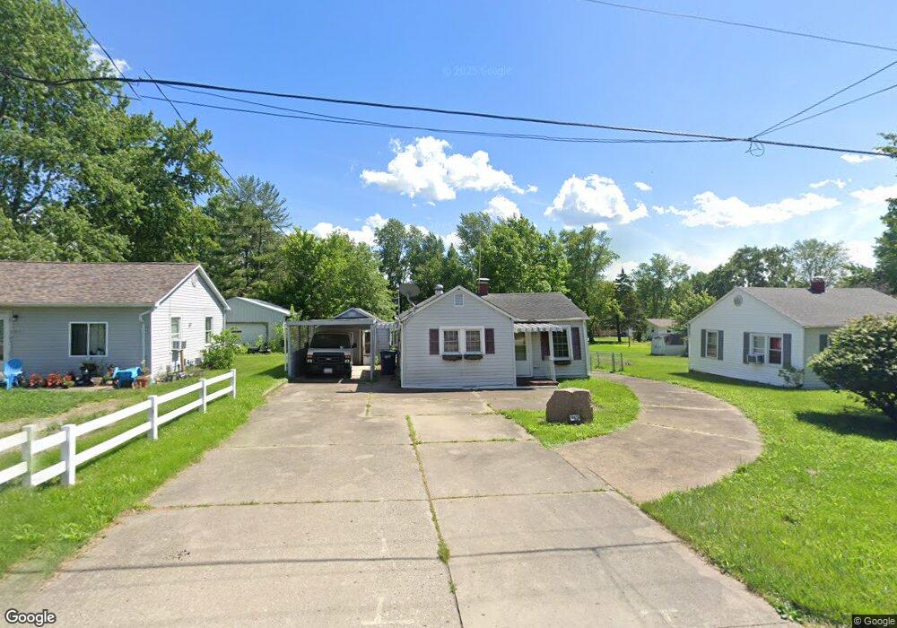
913 Airport Rd Mount Vernon, IL 62864
Estimated Value: $72,660 - $130,000
--
Bed
--
Bath
576
Sq Ft
$173/Sq Ft
Est. Value
About This Home
This home is located at 913 Airport Rd, Mount Vernon, IL 62864 and is currently estimated at $99,415, approximately $172 per square foot. 913 Airport Rd is a home located in Jefferson County with nearby schools including Summersville Grade School, Mount Vernon High School, and St Marys.
Create a Home Valuation Report for This Property
The Home Valuation Report is an in-depth analysis detailing your home's value as well as a comparison with similar homes in the area
Home Values in the Area
Average Home Value in this Area
Tax History Compared to Growth
Tax History
| Year | Tax Paid | Tax Assessment Tax Assessment Total Assessment is a certain percentage of the fair market value that is determined by local assessors to be the total taxable value of land and additions on the property. | Land | Improvement |
|---|---|---|---|---|
| 2024 | $489 | $21,635 | $2,494 | $19,141 |
| 2023 | $1,075 | $19,973 | $2,302 | $17,671 |
| 2022 | $1,023 | $17,520 | $2,019 | $15,501 |
| 2021 | $963 | $16,686 | $1,923 | $14,763 |
| 2020 | $953 | $15,594 | $1,797 | $13,797 |
| 2019 | $945 | $15,594 | $1,797 | $13,797 |
| 2018 | $933 | $15,594 | $1,797 | $13,797 |
| 2017 | $913 | $15,594 | $1,797 | $13,797 |
| 2016 | $881 | $15,584 | $1,797 | $13,787 |
| 2015 | $865 | $15,584 | $1,797 | $13,787 |
| 2014 | $745 | $15,584 | $1,797 | $13,787 |
| 2013 | $745 | $14,702 | $1,695 | $13,007 |
Source: Public Records
Map
Nearby Homes
- 820 Airport Rd
- 820 White Ave
- 717 White Ave
- 415 Marteeny St
- 909 & 905 Fairfield Rd
- 601 Marteeny St
- 14625 Illinois 15
- 14009 N Tolle Ln
- 14063 N Link Ln
- 14013 N Tolle Ln
- 213 S 2nd St
- 14322 N Memory Ln
- 1300 N Tolle Ln
- 300 S 4th St
- 408 N 6th St
- 313 Castleton Ave
- 14017 E Eastland Rd
- 205 S 6th St
- 317 N 7th St
- 716 North St