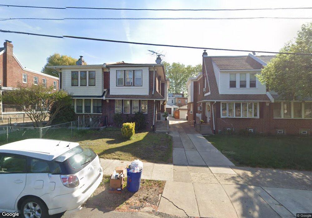
917 Adams Ave Philadelphia, PA 19124
Lawncrest NeighborhoodEstimated Value: $257,000 - $313,000
4
Beds
1
Bath
1,600
Sq Ft
$180/Sq Ft
Est. Value
About This Home
This home is located at 917 Adams Ave, Philadelphia, PA 19124 and is currently estimated at $287,440, approximately $179 per square foot. 917 Adams Ave is a home located in Philadelphia County with nearby schools including Frankford High School, Northwood Academy Charter School, and The Philadelphia Charter School for the Arts & Sciences.
Ownership History
Date
Name
Owned For
Owner Type
Purchase Details
Closed on
Jun 6, 2025
Sold by
Phagoo Neal
Bought by
Phagoo Neal and Phagoo Phillip
Current Estimated Value
Purchase Details
Closed on
Apr 20, 1999
Sold by
Mannix Joseph and Mannix Mary
Bought by
Phagoo Neal
Purchase Details
Closed on
Oct 5, 1998
Sold by
Mannix Joseph and Estate Of Magdalene Mannix
Bought by
Mannix Joseph and Mannix Mary
Create a Home Valuation Report for This Property
The Home Valuation Report is an in-depth analysis detailing your home's value as well as a comparison with similar homes in the area
Home Values in the Area
Average Home Value in this Area
Purchase History
| Date | Buyer | Sale Price | Title Company |
|---|---|---|---|
| Phagoo Neal | -- | None Listed On Document | |
| Phagoo Neal | $70,000 | -- | |
| Mannix Joseph | -- | -- |
Source: Public Records
Tax History Compared to Growth
Tax History
| Year | Tax Paid | Tax Assessment Tax Assessment Total Assessment is a certain percentage of the fair market value that is determined by local assessors to be the total taxable value of land and additions on the property. | Land | Improvement |
|---|---|---|---|---|
| 2026 | $3,360 | $278,700 | $55,740 | $222,960 |
| 2025 | $3,360 | $278,700 | $55,740 | $222,960 |
| 2024 | $3,360 | $278,700 | $55,740 | $222,960 |
| 2023 | $3,360 | $240,000 | $48,000 | $192,000 |
| 2022 | $1,748 | $195,000 | $48,000 | $147,000 |
| 2021 | $2,378 | $0 | $0 | $0 |
| 2020 | $2,378 | $0 | $0 | $0 |
| 2019 | $2,282 | $0 | $0 | $0 |
| 2018 | $2,293 | $0 | $0 | $0 |
| 2017 | $2,293 | $0 | $0 | $0 |
| 2016 | $1,873 | $0 | $0 | $0 |
| 2015 | $1,793 | $0 | $0 | $0 |
| 2014 | -- | $163,800 | $67,948 | $95,852 |
| 2012 | -- | $19,040 | $3,922 | $15,118 |
Source: Public Records
Map
Nearby Homes
- 926 Foulkrod St
- 1859 Harrison St
- 1001-3 Arrott St
- 4717 Northwood St
- 1052 Allengrove St
- 4046 E Roosevelt Blvd
- 4704 E Roosevelt Blvd
- 4600 Horrocks St
- 1241 Orthodox St
- 4632 Oakland St
- 1208 Haworth St
- 1300 Harrison St
- 1214 Haworth St
- 4628 Pilling St
- 894 Granite St
- 4626 Pilling St
- 1335 Fillmore St
- 880 Granite St
- 1048 Bridge St
- 1242 48 Adams Ave