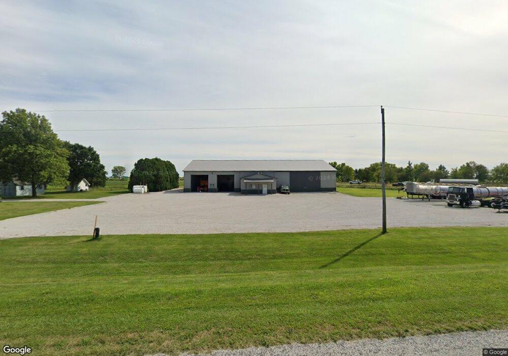
917 County Road 250 N Pesotum, IL 61863
Estimated Value: $304,000 - $365,254
--
Bed
--
Bath
1,390
Sq Ft
$244/Sq Ft
Est. Value
About This Home
This home is located at 917 County Road 250 N, Pesotum, IL 61863 and is currently estimated at $339,564, approximately $244 per square foot. 917 County Road 250 N is a home with nearby schools including Unity High School.
Ownership History
Date
Name
Owned For
Owner Type
Purchase Details
Closed on
Sep 30, 2013
Sold by
Page William F and Page Barbara L
Bought by
Siuts Richard R and Siuts Sarah E
Current Estimated Value
Home Financials for this Owner
Home Financials are based on the most recent Mortgage that was taken out on this home.
Original Mortgage
$176,400
Outstanding Balance
$133,827
Interest Rate
4.75%
Mortgage Type
New Conventional
Estimated Equity
$205,737
Create a Home Valuation Report for This Property
The Home Valuation Report is an in-depth analysis detailing your home's value as well as a comparison with similar homes in the area
Home Values in the Area
Average Home Value in this Area
Purchase History
| Date | Buyer | Sale Price | Title Company |
|---|---|---|---|
| Siuts Richard R | $196,000 | None Available |
Source: Public Records
Mortgage History
| Date | Status | Borrower | Loan Amount |
|---|---|---|---|
| Open | Siuts Richard R | $176,400 |
Source: Public Records
Tax History Compared to Growth
Tax History
| Year | Tax Paid | Tax Assessment Tax Assessment Total Assessment is a certain percentage of the fair market value that is determined by local assessors to be the total taxable value of land and additions on the property. | Land | Improvement |
|---|---|---|---|---|
| 2024 | $4,445 | $89,210 | $13,250 | $75,960 |
| 2023 | $4,445 | $85,580 | $12,440 | $73,140 |
| 2022 | $4,333 | $82,190 | $11,690 | $70,500 |
| 2021 | $4,237 | $79,770 | $11,120 | $68,650 |
| 2020 | $4,226 | $78,190 | $10,720 | $67,470 |
| 2019 | $4,581 | $76,790 | $10,360 | $66,430 |
| 2018 | $4,460 | $75,930 | $10,110 | $65,820 |
| 2017 | $4,586 | $74,030 | $9,680 | $64,350 |
| 2016 | $2,396 | $40,900 | $9,350 | $31,550 |
| 2015 | $2,339 | $39,390 | $9,000 | $30,390 |
| 2014 | $2,299 | $38,750 | $8,840 | $29,910 |
| 2013 | $1,959 | $38,530 | $8,620 | $29,910 |
Source: Public Records
Map
Nearby Homes
- 6 Harness Ln
- 1102 County Road 600 N
- 108 W Church St
- 466 County Road 100 N
- 112 W North Front St
- 492 County Road 0 N
- 203 S Whitehead St
- 614 E Larmon St
- 407 W Walnut St
- 106 N Elizabeth St
- 309 N Watson St
- 310 N Bourne St
- 505 N Calhoun St
- 347 County Road 300 N
- 808 Lakeshore Dr
- 104 Jones Blvd
- 101 Jones Blvd
- 508 Timothy Dr
- 506 W Wilson St
- 514 W Harrison St
- 921 County Road 250 N
- 925 County Road 250 N
- 238 County Road 900 E
- 234 County Road 900 E
- 221 County Road 900 E
- 877 County Road 250 N
- 868 County Road 250 N
- 0 N Unit MRD10657714
- 250 N Cr 950 E
- 700 Cr 0 N
- LOT 11 Adams
- LOT 10 Adams
- LOT 6 Hickory
- 2 Bridle Ln
- 6 Bridle Ln
- 406 W Adams St
- 2 Sulkey Ln
- 5 Sulkey Ln
- 409 W Jefferson St
- 408 W Jefferson St