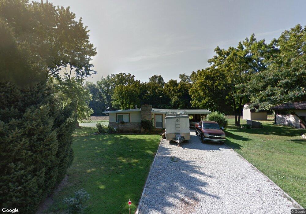
92 Delores Dr Fenton, MO 63026
Estimated Value: $171,071 - $250,000
--
Bed
1
Bath
1,040
Sq Ft
$219/Sq Ft
Est. Value
About This Home
This home is located at 92 Delores Dr, Fenton, MO 63026 and is currently estimated at $227,268, approximately $218 per square foot. 92 Delores Dr is a home located in Jefferson County with nearby schools including Northwest High School, Messenger Christian School, and Our Savior Lutheran Church & School.
Ownership History
Date
Name
Owned For
Owner Type
Purchase Details
Closed on
Dec 6, 2018
Sold by
Lynch Kathy Ann and Lynch Bradley James
Bought by
Lynch Kathy Ann and Lynch Bradley James
Current Estimated Value
Home Financials for this Owner
Home Financials are based on the most recent Mortgage that was taken out on this home.
Original Mortgage
$34,600
Interest Rate
4.8%
Mortgage Type
New Conventional
Purchase Details
Closed on
Sep 29, 1998
Sold by
Kelsey Joseph D
Bought by
Kelsey Kathy Ann
Purchase Details
Closed on
Jul 21, 1998
Sold by
Kelsey Kathy
Bought by
Kelsey Joseph David
Create a Home Valuation Report for This Property
The Home Valuation Report is an in-depth analysis detailing your home's value as well as a comparison with similar homes in the area
Home Values in the Area
Average Home Value in this Area
Purchase History
| Date | Buyer | Sale Price | Title Company |
|---|---|---|---|
| Lynch Kathy Ann | -- | None Available | |
| Kelsey Kathy Ann | -- | -- | |
| Kelsey Joseph David | -- | -- |
Source: Public Records
Mortgage History
| Date | Status | Borrower | Loan Amount |
|---|---|---|---|
| Closed | Lynch Kathy Ann | $34,600 |
Source: Public Records
Tax History Compared to Growth
Tax History
| Year | Tax Paid | Tax Assessment Tax Assessment Total Assessment is a certain percentage of the fair market value that is determined by local assessors to be the total taxable value of land and additions on the property. | Land | Improvement |
|---|---|---|---|---|
| 2025 | $1,401 | $20,700 | $1,900 | $18,800 |
| 2024 | $1,401 | $19,400 | $1,900 | $17,500 |
| 2023 | $1,401 | $19,400 | $1,900 | $17,500 |
| 2022 | $1,394 | $19,400 | $1,900 | $17,500 |
| 2021 | $1,386 | $19,400 | $1,900 | $17,500 |
| 2020 | $1,054 | $14,400 | $1,600 | $12,800 |
| 2019 | $1,052 | $14,400 | $1,600 | $12,800 |
| 2018 | $1,066 | $14,400 | $1,600 | $12,800 |
| 2017 | $974 | $14,400 | $1,600 | $12,800 |
| 2016 | $922 | $13,500 | $1,700 | $11,800 |
| 2015 | $947 | $13,500 | $1,700 | $11,800 |
| 2013 | -- | $13,000 | $1,700 | $11,300 |
Source: Public Records
Map
Nearby Homes
- 72 Patricia Place
- 2 Delores Dr
- 39 Pansy Dr Unit 39
- 35 Pansy Dr Unit 35
- 772 Islamorada Dr
- 1531 Winding Meadows Dr
- 2 Ashford Winding Meadows
- 1516 Winding Meadows Dr
- 1520 Winding Meadows Dr
- 1536 Winding Meadows Dr
- 2 Aspen at Winding Meadows
- 26 W Lakewood Dr
- 1564 Winding Meadows Dr
- 368 Winding Bluffs Ct
- 388 Winding Bluffs Ct
- 373 Winding Bluffs Ct
- 2 Berwick at Winding Meadows
- 356 Winding Bluffs Ct
- 2 Aspen II at Winding Meadows
- 317 Winding Bluffs Ct