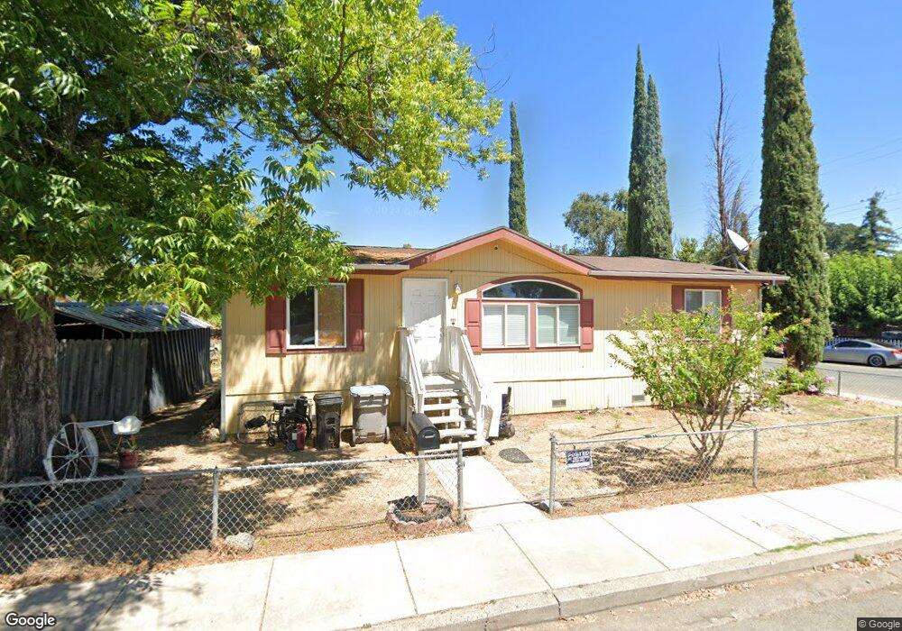
920 Armstrong St Lakeport, CA 95453
Estimated Value: $177,000 - $198,000
3
Beds
2
Baths
1,474
Sq Ft
$127/Sq Ft
Est. Value
About This Home
This home is located at 920 Armstrong St, Lakeport, CA 95453 and is currently estimated at $187,500, approximately $127 per square foot. 920 Armstrong St is a home located in Lake County with nearby schools including Lakeport Elementary School, Terrace Middle School, and Clear Lake High School.
Ownership History
Date
Name
Owned For
Owner Type
Purchase Details
Closed on
Dec 14, 2021
Sold by
Dazie Ellon Hatfield Living Trust
Bought by
White Rees R
Current Estimated Value
Home Financials for this Owner
Home Financials are based on the most recent Mortgage that was taken out on this home.
Original Mortgage
$119,790
Outstanding Balance
$109,919
Interest Rate
3.09%
Mortgage Type
FHA
Estimated Equity
$77,581
Purchase Details
Closed on
Oct 30, 2002
Sold by
Hatfield Ellon and Gard Wesley
Bought by
Hatfield Dazie Ellon
Create a Home Valuation Report for This Property
The Home Valuation Report is an in-depth analysis detailing your home's value as well as a comparison with similar homes in the area
Home Values in the Area
Average Home Value in this Area
Purchase History
| Date | Buyer | Sale Price | Title Company |
|---|---|---|---|
| White Rees R | $122,000 | Fidelity National Title | |
| Hatfield Dazie Ellon | -- | None Available |
Source: Public Records
Mortgage History
| Date | Status | Borrower | Loan Amount |
|---|---|---|---|
| Open | White Rees R | $119,790 |
Source: Public Records
Tax History Compared to Growth
Tax History
| Year | Tax Paid | Tax Assessment Tax Assessment Total Assessment is a certain percentage of the fair market value that is determined by local assessors to be the total taxable value of land and additions on the property. | Land | Improvement |
|---|---|---|---|---|
| 2025 | $3,263 | $265,301 | $42,448 | $222,853 |
| 2024 | $3,184 | $260,100 | $41,616 | $218,484 |
| 2023 | $3,129 | $255,000 | $40,800 | $214,200 |
| 2022 | $3,077 | $250,000 | $40,000 | $210,000 |
| 2021 | $1,607 | $101,287 | $9,368 | $91,919 |
| 2020 | $1,380 | $100,249 | $9,272 | $90,977 |
| 2019 | $1,374 | $98,285 | $9,091 | $89,194 |
| 2018 | $1,215 | $96,359 | $8,913 | $87,446 |
| 2017 | $1,207 | $94,471 | $8,739 | $85,732 |
| 2016 | $1,172 | $92,619 | $8,568 | $84,051 |
| 2015 | $1,160 | $91,229 | $8,440 | $82,789 |
| 2014 | $1,081 | $89,443 | $8,275 | $81,168 |
Source: Public Records
Map
Nearby Homes
- 950 Armstrong St
- 105 S Starr St
- 880 Armstrong St
- 140 S Starr St
- 915 Armstrong St
- 136 S Russell St
- 925 First St
- 990 Armstrong St
- 120 S Russell St
- 850 Armstrong St
- 102 S Starr St
- 955 Armstrong St
- 965 First St
- 875 Armstrong St
- 963 Armstrong St
- 211 S Starr St
- 110 S Russell St
- 155 S Polk St
- 975 Armstrong St
- 820 Armstrong St