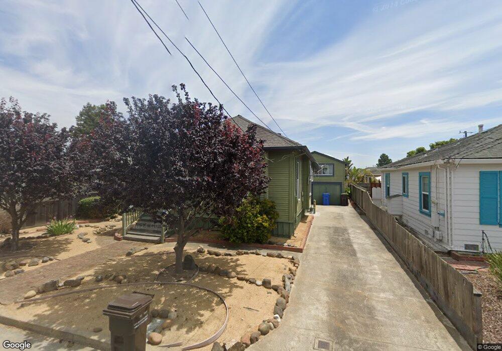
920 Seaside St Santa Cruz, CA 95060
California Street-Mission Hill NeighborhoodEstimated Value: $1,007,198 - $1,373,000
2
Beds
1
Bath
790
Sq Ft
$1,526/Sq Ft
Est. Value
About This Home
This home is located at 920 Seaside St, Santa Cruz, CA 95060 and is currently estimated at $1,205,300, approximately $1,525 per square foot. 920 Seaside St is a home located in Santa Cruz County with nearby schools including Bay View Elementary School, Mission Hill Middle School, and Santa Cruz High School.
Ownership History
Date
Name
Owned For
Owner Type
Purchase Details
Closed on
May 19, 1998
Sold by
Calmes Raymond A and Calmes Dianne D
Bought by
Dunbar Sam B and Hopkins Harriet S
Current Estimated Value
Home Financials for this Owner
Home Financials are based on the most recent Mortgage that was taken out on this home.
Original Mortgage
$300,000
Outstanding Balance
$59,385
Interest Rate
7.25%
Estimated Equity
$1,145,915
Purchase Details
Closed on
Oct 31, 1997
Sold by
Stenvall John F Trust and Paul
Bought by
Calmes Raymond A and Calmes Dianne D
Home Financials for this Owner
Home Financials are based on the most recent Mortgage that was taken out on this home.
Original Mortgage
$160,000
Interest Rate
7.26%
Purchase Details
Closed on
Jul 25, 1997
Sold by
Stenvall John F
Bought by
Bingham Paul and The John F Stenvall Trust
Create a Home Valuation Report for This Property
The Home Valuation Report is an in-depth analysis detailing your home's value as well as a comparison with similar homes in the area
Home Values in the Area
Average Home Value in this Area
Purchase History
| Date | Buyer | Sale Price | Title Company |
|---|---|---|---|
| Dunbar Sam B | $320,000 | Old Republic Title Company | |
| Calmes Raymond A | $190,000 | Old Republic Title Company | |
| Bingham Paul | -- | -- |
Source: Public Records
Mortgage History
| Date | Status | Borrower | Loan Amount |
|---|---|---|---|
| Open | Dunbar Sam B | $300,000 | |
| Previous Owner | Calmes Raymond A | $160,000 |
Source: Public Records
Tax History Compared to Growth
Tax History
| Year | Tax Paid | Tax Assessment Tax Assessment Total Assessment is a certain percentage of the fair market value that is determined by local assessors to be the total taxable value of land and additions on the property. | Land | Improvement |
|---|---|---|---|---|
| 2025 | $5,810 | $510,968 | $255,484 | $255,484 |
| 2023 | $5,740 | $491,128 | $245,564 | $245,564 |
| 2022 | $5,676 | $481,496 | $240,748 | $240,748 |
| 2021 | $5,561 | $472,056 | $236,028 | $236,028 |
| 2020 | $5,518 | $467,216 | $233,608 | $233,608 |
| 2019 | $5,392 | $458,056 | $229,028 | $229,028 |
| 2018 | $5,331 | $449,072 | $224,536 | $224,536 |
| 2017 | $5,264 | $440,268 | $220,134 | $220,134 |
| 2016 | $4,980 | $431,636 | $215,818 | $215,818 |
| 2015 | $4,816 | $425,152 | $212,576 | $212,576 |
| 2014 | $4,736 | $416,824 | $208,412 | $208,412 |
Source: Public Records
Map
Nearby Homes
- 121 Acadia Ave
- 1124 Laurel St
- 148 Mason St
- 233 Rigg St
- 1103 Mission St
- 331 Van Ness Ave
- 136 Neary St
- 807 Laurel St
- 116 Shelter Lagoon Dr
- 520 Dufour St
- 102 Tree Frog Ln
- 338 Dufour St
- 148 Myrtle St
- 356 Everson Dr Unit 356
- 215 Younglove Ave
- 514 Washington St
- 603 Mission St
- 126 Cedar St
- 449 High St
- 102 W Cliff Dr