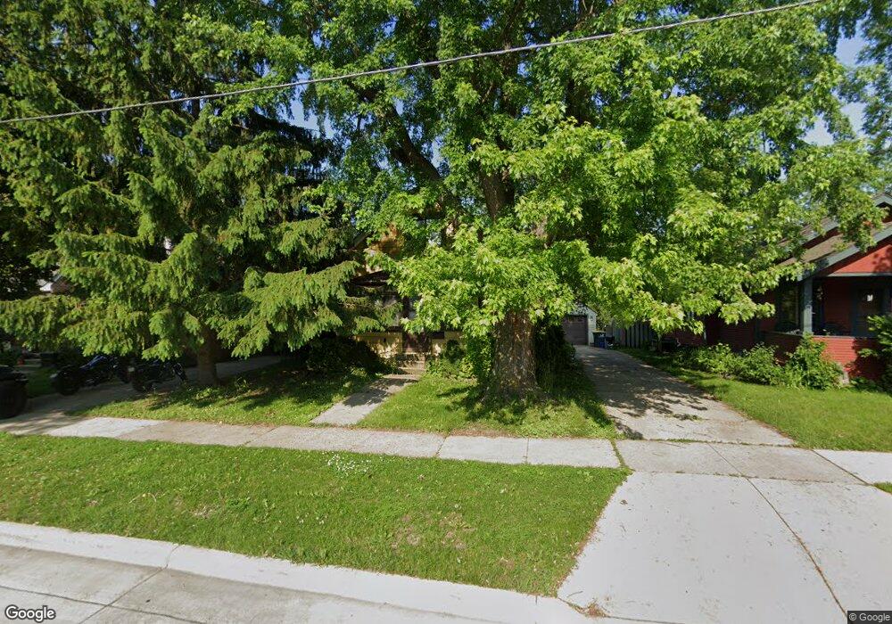
921 Perkins Ave Waukesha, WI 53186
Estimated Value: $263,000 - $285,630
3
Beds
2
Baths
1,140
Sq Ft
$239/Sq Ft
Est. Value
About This Home
This home is located at 921 Perkins Ave, Waukesha, WI 53186 and is currently estimated at $272,658, approximately $239 per square foot. 921 Perkins Ave is a home located in Waukesha County with nearby schools including Hadfield Elementary School, Horning Middle School, and South High School.
Ownership History
Date
Name
Owned For
Owner Type
Purchase Details
Closed on
Oct 29, 2009
Sold by
Newman James B and Newman Carol J
Bought by
Hess Jamie J and Partin Virginia A
Current Estimated Value
Home Financials for this Owner
Home Financials are based on the most recent Mortgage that was taken out on this home.
Original Mortgage
$150,621
Outstanding Balance
$98,901
Interest Rate
5.11%
Mortgage Type
FHA
Estimated Equity
$173,757
Create a Home Valuation Report for This Property
The Home Valuation Report is an in-depth analysis detailing your home's value as well as a comparison with similar homes in the area
Home Values in the Area
Average Home Value in this Area
Purchase History
| Date | Buyer | Sale Price | Title Company |
|---|---|---|---|
| Hess Jamie J | $153,400 | None Available |
Source: Public Records
Mortgage History
| Date | Status | Borrower | Loan Amount |
|---|---|---|---|
| Open | Hess Jamie J | $150,621 |
Source: Public Records
Tax History Compared to Growth
Tax History
| Year | Tax Paid | Tax Assessment Tax Assessment Total Assessment is a certain percentage of the fair market value that is determined by local assessors to be the total taxable value of land and additions on the property. | Land | Improvement |
|---|---|---|---|---|
| 2024 | $2,827 | $190,700 | $55,100 | $135,600 |
| 2023 | $2,648 | $190,700 | $55,100 | $135,600 |
| 2022 | $2,850 | $147,900 | $50,400 | $97,500 |
| 2021 | $2,803 | $147,900 | $50,400 | $97,500 |
| 2020 | $2,727 | $147,900 | $50,400 | $97,500 |
| 2019 | $2,739 | $147,900 | $50,400 | $97,500 |
| 2018 | $2,469 | $135,700 | $45,600 | $90,100 |
| 2017 | $2,651 | $135,700 | $45,600 | $90,100 |
| 2016 | $2,459 | $126,800 | $43,200 | $83,600 |
| 2015 | $2,449 | $126,800 | $43,200 | $83,600 |
| 2014 | $2,527 | $125,500 | $43,200 | $82,300 |
| 2013 | $2,527 | $125,500 | $43,200 | $82,300 |
Source: Public Records
Map
Nearby Homes
- 930 Harding Ave
- 953 Genesee St
- 1103 Arcadian Ave
- 1219 National Ave
- 1021 Arcadian Ave
- 1021 Aurora St
- 1349 Rose Ct Unit 62
- 918 Niagara St
- 512 E Main St
- 1333 Niagara St
- 1462 Cleveland Ave
- 1139 White Rock Ave
- 1308 Danny St
- 1471 Cleveland Ave
- 937 E Moreland Blvd
- 1343 Hillside Dr
- S21W23079 Hillside Dr
- 100 E Main St Unit 403
- 100 E Main St Unit 307
- 1609 Murray Ave
- 914 Perkins Ave
- 915 Perkins Ave
- 1206 Arcadian Ave
- 923 Perkins Ave
- 1210 Arcadian Ave
- 933 Perkins Ave
- 926 Perkins Ave
- 920 Perkins Ave
- 924 Perkins Ave
- 906 Harding Ave
- 937 Perkins Ave
- 902 Harding Ave
- 1118 Arcadian Ave
- 918 Harding Ave
- 941 Perkins Ave
- 930 Perkins Ave
- 1120 Arcadian Ave
- 914 Harding Ave
- 926 Harding Ave
- 923 Genesee St