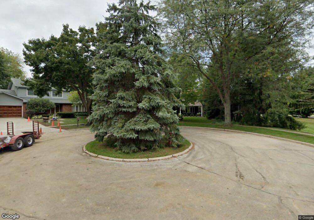
921 Wilshire Ct Libertyville, IL 60048
Estimated Value: $702,000 - $813,000
4
Beds
3
Baths
2,602
Sq Ft
$295/Sq Ft
Est. Value
About This Home
This home is located at 921 Wilshire Ct, Libertyville, IL 60048 and is currently estimated at $767,853, approximately $295 per square foot. 921 Wilshire Ct is a home located in Lake County with nearby schools including Butterfield School, Highland Middle School, and Libertyville High School.
Ownership History
Date
Name
Owned For
Owner Type
Purchase Details
Closed on
Jul 29, 1996
Sold by
Koeppen Richard J and Koeppen Judith A
Bought by
Howard Walter E and Howard Alice M
Current Estimated Value
Home Financials for this Owner
Home Financials are based on the most recent Mortgage that was taken out on this home.
Original Mortgage
$60,000
Outstanding Balance
$4,730
Interest Rate
8.18%
Estimated Equity
$763,123
Create a Home Valuation Report for This Property
The Home Valuation Report is an in-depth analysis detailing your home's value as well as a comparison with similar homes in the area
Home Values in the Area
Average Home Value in this Area
Purchase History
| Date | Buyer | Sale Price | Title Company |
|---|---|---|---|
| Howard Walter E | $320,000 | -- |
Source: Public Records
Mortgage History
| Date | Status | Borrower | Loan Amount |
|---|---|---|---|
| Open | Howard Walter E | $60,000 |
Source: Public Records
Tax History Compared to Growth
Tax History
| Year | Tax Paid | Tax Assessment Tax Assessment Total Assessment is a certain percentage of the fair market value that is determined by local assessors to be the total taxable value of land and additions on the property. | Land | Improvement |
|---|---|---|---|---|
| 2024 | $14,304 | $211,158 | $80,322 | $130,836 |
| 2023 | $13,997 | $194,759 | $74,084 | $120,675 |
| 2022 | $13,997 | $189,813 | $71,206 | $118,607 |
| 2021 | $13,477 | $177,122 | $69,673 | $107,449 |
| 2020 | $12,971 | $174,145 | $68,502 | $105,643 |
| 2019 | $12,648 | $172,489 | $67,851 | $104,638 |
| 2018 | $12,602 | $177,559 | $69,924 | $107,635 |
| 2017 | $12,428 | $171,953 | $67,716 | $104,237 |
| 2016 | $12,018 | $163,035 | $64,204 | $98,831 |
| 2015 | $11,911 | $152,383 | $60,009 | $92,374 |
| 2014 | $11,882 | $141,321 | $59,203 | $82,118 |
| 2012 | $10,190 | $151,643 | $59,717 | $91,926 |
Source: Public Records
Map
Nearby Homes
- 832 Interlaken Ln
- 694 Parkside Ct
- 662 Parkside Ct
- 616 Parkside Ct
- 619 Parkside Ct
- 1338 Trinity Place
- 1512 Sunnyview Rd
- 212 W Ellis Ave
- 208 W Ellis Ave
- 204 W Ellis Ave
- 420 W Cook Ave
- 505 Lange Ct
- 922 N Milwaukee Ave Unit A
- Halston Plan at Liberty Junction
- Highwood Plan at Liberty Junction
- Jayton Plan at Liberty Junction
- 212 Elm Ct
- 1211 Parliament Ct
- 551 W Park Ave Unit E
- 223 Kenloch Ave
- 915 Wilshire Ct
- 955 W Winchester Rd
- 920 Jeremy Ln
- 914 Jeremy Ln
- 907 Wilshire Ct
- 978 W Winchester Rd
- 958 W Winchester Rd
- 941 W Winchester Rd
- 952 W Winchester Rd
- 1010 W Winchester Rd
- 908 Jeremy Ln
- 968 W Winchester Rd
- 900 Wilshire Ct
- 901 Wilshire Ct
- 946 W Winchester Rd
- 935 W Winchester Rd
- 926 Wilshire Dr
- 1018 W Winchester Rd
- 950 Wilshire Ct
- 921 Jeremy Ln