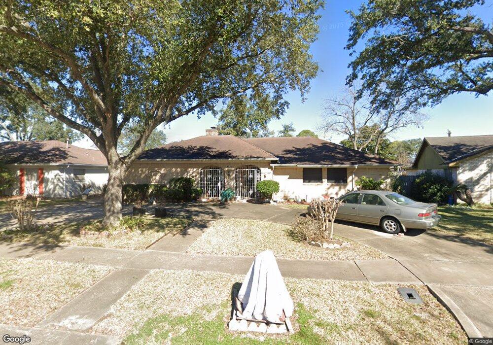
9210 Sandstone St Houston, TX 77036
Chinatown NeighborhoodEstimated Value: $331,276 - $345,000
4
Beds
2
Baths
2,310
Sq Ft
$147/Sq Ft
Est. Value
About This Home
This home is located at 9210 Sandstone St, Houston, TX 77036 and is currently estimated at $338,819, approximately $146 per square foot. 9210 Sandstone St is a home located in Harris County with nearby schools including Ed White Elementary School, Sugar Grove Academy, and Sharpstown High School.
Ownership History
Date
Name
Owned For
Owner Type
Purchase Details
Closed on
May 3, 2005
Sold by
Taw Susanna Tohsing
Bought by
Susida Enterprises Ltd
Current Estimated Value
Purchase Details
Closed on
Jul 29, 1994
Sold by
Ling Tiong H and Ling Nancy T
Bought by
Ling Susanna Toh Sing
Home Financials for this Owner
Home Financials are based on the most recent Mortgage that was taken out on this home.
Original Mortgage
$63,000
Interest Rate
8.45%
Mortgage Type
Seller Take Back
Create a Home Valuation Report for This Property
The Home Valuation Report is an in-depth analysis detailing your home's value as well as a comparison with similar homes in the area
Home Values in the Area
Average Home Value in this Area
Purchase History
| Date | Buyer | Sale Price | Title Company |
|---|---|---|---|
| Susida Enterprises Ltd | -- | -- | |
| Ling Susanna Toh Sing | -- | -- |
Source: Public Records
Mortgage History
| Date | Status | Borrower | Loan Amount |
|---|---|---|---|
| Previous Owner | Ling Susanna Toh Sing | $63,000 |
Source: Public Records
Tax History Compared to Growth
Tax History
| Year | Tax Paid | Tax Assessment Tax Assessment Total Assessment is a certain percentage of the fair market value that is determined by local assessors to be the total taxable value of land and additions on the property. | Land | Improvement |
|---|---|---|---|---|
| 2025 | $6,389 | $303,813 | $100,740 | $203,073 |
| 2024 | $6,389 | $305,339 | $100,740 | $204,599 |
| 2023 | $6,389 | $322,043 | $100,740 | $221,303 |
| 2022 | $6,370 | $279,166 | $58,765 | $220,401 |
| 2021 | $5,242 | $224,911 | $50,370 | $174,541 |
| 2020 | $6,308 | $252,168 | $50,370 | $201,798 |
| 2019 | $6,583 | $252,168 | $50,370 | $201,798 |
| 2018 | $5,820 | $230,010 | $50,370 | $179,640 |
| 2017 | $6,000 | $230,010 | $50,370 | $179,640 |
| 2016 | $5,456 | $209,166 | $50,370 | $158,796 |
| 2015 | $4,386 | $170,607 | $50,370 | $120,237 |
| 2014 | $4,386 | $170,607 | $50,370 | $120,237 |
Source: Public Records
Map
Nearby Homes
- 9238 Stroud Dr
- 9215 Sharpcrest St
- 9006 Roos Rd
- 9506 Hendon Ln
- 8826 Rowan Ln
- 8818 Roos Rd
- 7939 Kendalia Dr
- 8923 Hendon Ln
- 9234 Westwood Village Dr Unit 17
- 7303 Augustine Dr
- 8902 Langdon Ln
- 9345 Westwood Village Dr Unit 30
- 9201 Clarewood Dr Unit 203
- 9201 Clarewood Dr Unit 10
- 9201 Clarewood Dr Unit 204
- 9393 Westwood Village Dr Unit 64
- 7302 Redding Rd
- 8530 Roos Rd
- 7302 Burning Tree Dr
- 9901 Sharpcrest St Unit K3
- 9214 Sandstone St
- 9206 Sandstone St
- 9207 Sharpview Dr
- 9203 Sharpview Dr
- 9211 Sharpview Dr
- 9218 Sandstone St
- 9119 Sharpview Dr
- 9211 Sandstone St
- 9215 Sharpview Dr
- 9203 Sandstone St
- 9215 Sandstone St
- 9202 Sandstone St
- 9222 Sandstone St
- 9115 Sharpview Dr
- 9219 Sandstone St
- 9219 Sharpview Dr
- 7403 Lacy Hill Dr
- 9223 Sandstone St
- 9111 Sharpview Dr
- 9223 Sharpview Dr