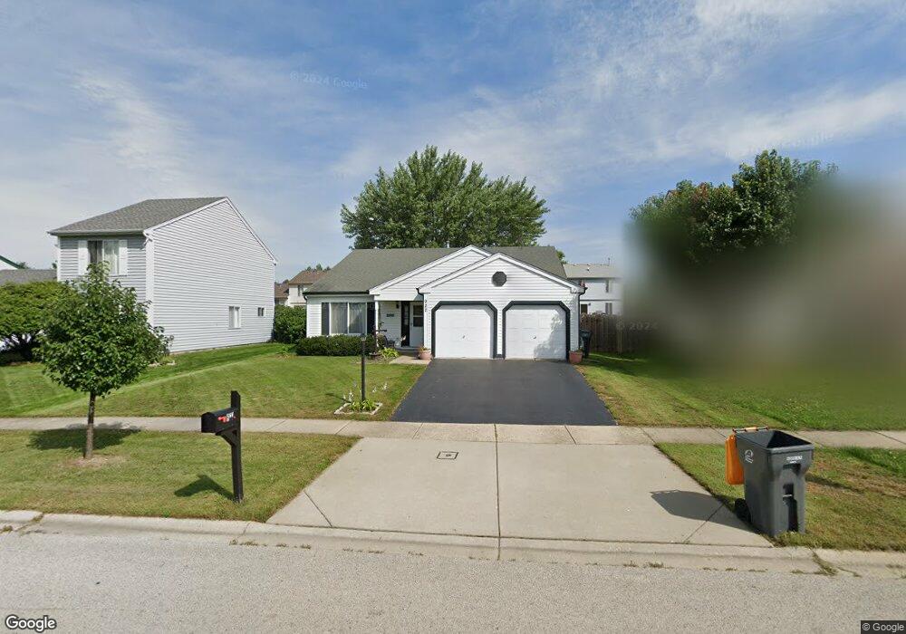
922 Hartwood Dr Streamwood, IL 60107
Estimated Value: $378,881 - $397,000
3
Beds
2
Baths
1,664
Sq Ft
$234/Sq Ft
Est. Value
About This Home
This home is located at 922 Hartwood Dr, Streamwood, IL 60107 and is currently estimated at $389,970, approximately $234 per square foot. 922 Hartwood Dr is a home located in Cook County with nearby schools including Sunnydale Elementary School, Tefft Middle School, and Streamwood High School.
Ownership History
Date
Name
Owned For
Owner Type
Purchase Details
Closed on
Dec 22, 2004
Sold by
Potter James A
Bought by
Potter James A and James A Potter Trust
Current Estimated Value
Purchase Details
Closed on
Aug 28, 2003
Sold by
Laster H Eugene and Laster Arlene W
Bought by
Potter James A
Home Financials for this Owner
Home Financials are based on the most recent Mortgage that was taken out on this home.
Original Mortgage
$70,000
Interest Rate
6.1%
Mortgage Type
Unknown
Create a Home Valuation Report for This Property
The Home Valuation Report is an in-depth analysis detailing your home's value as well as a comparison with similar homes in the area
Home Values in the Area
Average Home Value in this Area
Purchase History
| Date | Buyer | Sale Price | Title Company |
|---|---|---|---|
| Potter James A | -- | -- | |
| Potter James A | $226,000 | Rtc |
Source: Public Records
Mortgage History
| Date | Status | Borrower | Loan Amount |
|---|---|---|---|
| Previous Owner | Potter James A | $70,000 | |
| Closed | Potter James A | $133,000 |
Source: Public Records
Tax History Compared to Growth
Tax History
| Year | Tax Paid | Tax Assessment Tax Assessment Total Assessment is a certain percentage of the fair market value that is determined by local assessors to be the total taxable value of land and additions on the property. | Land | Improvement |
|---|---|---|---|---|
| 2024 | $3,923 | $28,000 | $5,088 | $22,912 |
| 2023 | $3,942 | $28,000 | $5,088 | $22,912 |
| 2022 | $3,942 | $28,000 | $5,088 | $22,912 |
| 2021 | $4,684 | $19,465 | $6,201 | $13,264 |
| 2020 | $4,287 | $19,465 | $6,201 | $13,264 |
| 2019 | $4,211 | $21,871 | $6,201 | $15,670 |
| 2018 | $4,650 | $21,510 | $5,406 | $16,104 |
| 2017 | $4,505 | $21,510 | $5,406 | $16,104 |
| 2016 | $5,629 | $21,510 | $5,406 | $16,104 |
| 2015 | $5,912 | $21,065 | $4,770 | $16,295 |
| 2014 | $5,699 | $21,065 | $4,770 | $16,295 |
| 2013 | $6,295 | $21,065 | $4,770 | $16,295 |
Source: Public Records
Map
Nearby Homes
- 202 Parkwood Dr
- 577 East Ave
- 7411 Astor Ave
- 626 Oriole Dr
- 700 Pleasant Place
- 216 Iris Dr
- 718 Russet Ln
- 944 Miller Ave
- 502 Rambler Ln
- 8 Aspen Ct
- 617 Arnold Ave
- 803 E Streamwood Blvd
- 1019 Stratford Cir
- 224 Winnsboro Ct Unit A
- 427 Cedarcrest Dr
- 707 Sunset Cir
- 195 Island Ct
- 804 Bussey Ct
- 2902 Belle Ln
- 719 Lacy Ave
- 920 Hartwood Dr
- 924 Hartwood Dr
- 218 Southwood Cir
- 300 Southwood Cir
- 918 Hartwood Dr
- 216 Southwood Cir
- 926 Hartwood Dr
- 302 Southwood Cir
- 921 Hartwood Dr
- 214 Southwood Cir
- 916 Hartwood Dr
- 919 Hartwood Dr
- 304 Southwood Cir
- 917 Hartwood Dr
- 914 Hartwood Dr
- 306 Southwood Cir
- 212 Southwood Cir
- 930 Hartwood Dr
- 208 Parkwood Dr
- 915 Hartwood Dr