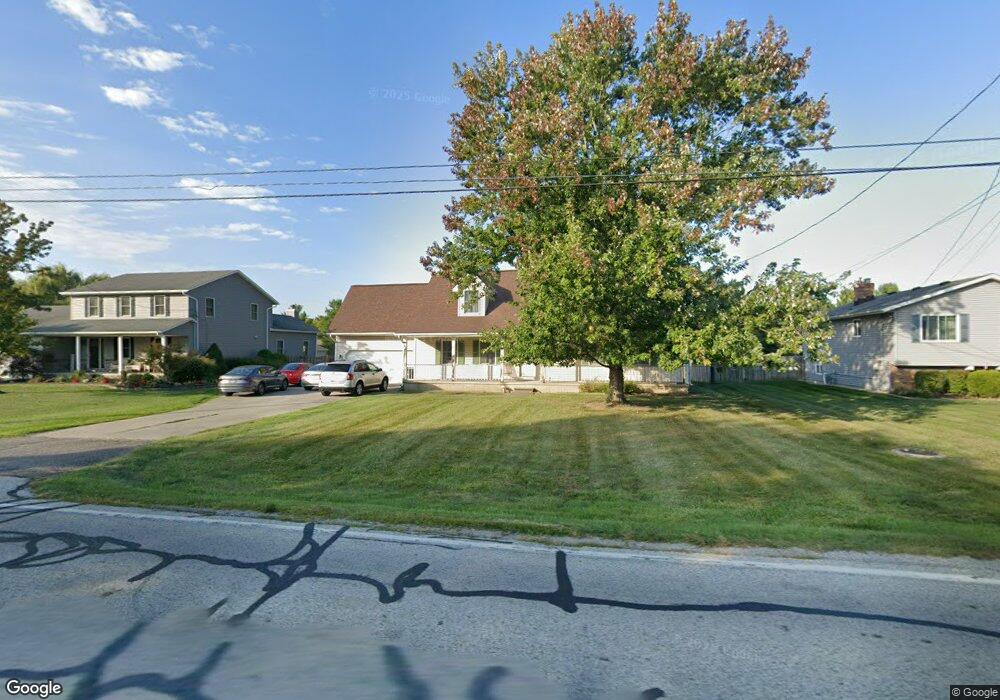
9229 Root Rd North Ridgeville, OH 44039
Estimated Value: $336,000 - $404,000
3
Beds
2
Baths
2,246
Sq Ft
$163/Sq Ft
Est. Value
About This Home
This home is located at 9229 Root Rd, North Ridgeville, OH 44039 and is currently estimated at $366,655, approximately $163 per square foot. 9229 Root Rd is a home located in Lorain County with nearby schools including North Ridgeville Academic Center, Liberty Elementary School, and Ranger High Tech Academy.
Ownership History
Date
Name
Owned For
Owner Type
Purchase Details
Closed on
Sep 5, 2002
Sold by
Lackofi Leslie L and Lackofi Rozalia
Bought by
Ridgefield Homes Inc
Current Estimated Value
Purchase Details
Closed on
Jul 22, 1994
Sold by
Kiesel Karl
Bought by
Geither Jeffrey M and Geither Eise J
Home Financials for this Owner
Home Financials are based on the most recent Mortgage that was taken out on this home.
Original Mortgage
$98,900
Interest Rate
8.38%
Mortgage Type
New Conventional
Create a Home Valuation Report for This Property
The Home Valuation Report is an in-depth analysis detailing your home's value as well as a comparison with similar homes in the area
Home Values in the Area
Average Home Value in this Area
Purchase History
| Date | Buyer | Sale Price | Title Company |
|---|---|---|---|
| Ridgefield Homes Inc | $176,900 | -- | |
| Geither Jeffrey M | $28,900 | -- |
Source: Public Records
Mortgage History
| Date | Status | Borrower | Loan Amount |
|---|---|---|---|
| Previous Owner | Geither Jeffrey M | $98,900 |
Source: Public Records
Tax History Compared to Growth
Tax History
| Year | Tax Paid | Tax Assessment Tax Assessment Total Assessment is a certain percentage of the fair market value that is determined by local assessors to be the total taxable value of land and additions on the property. | Land | Improvement |
|---|---|---|---|---|
| 2024 | $4,895 | $95,883 | $15,068 | $80,815 |
| 2023 | $4,223 | $73,077 | $12,149 | $60,928 |
| 2022 | $3,791 | $73,077 | $12,149 | $60,928 |
| 2021 | $3,805 | $73,077 | $12,149 | $60,928 |
| 2020 | $3,734 | $66,320 | $11,030 | $55,290 |
| 2019 | $3,726 | $66,320 | $11,030 | $55,290 |
| 2018 | $3,734 | $66,320 | $11,030 | $55,290 |
| 2017 | $3,740 | $61,610 | $10,840 | $50,770 |
| 2016 | $3,798 | $61,610 | $10,840 | $50,770 |
| 2015 | $3,852 | $61,610 | $10,840 | $50,770 |
| 2014 | $3,680 | $57,310 | $10,080 | $47,230 |
| 2013 | $3,716 | $57,310 | $10,080 | $47,230 |
Source: Public Records
Map
Nearby Homes
- 9032 Riverwood Dr
- 8863 Riverwood Dr
- 9129 Riverwood Dr
- 9113 Riverwood Dr
- 34286 Brookside Ln
- S/L 31 Brookside Ln
- 32715 Deerspring Ct
- S/L 46 Brookside Ln
- S/L 33 Brookside Ln
- 8665 Gatewood Dr
- 0 Bagley Rd
- 0 V L Schady Rd Unit 5163658
- 29097 Pembrooke Blvd
- 29090 Pembrooke Blvd
- 33700 Henwell Rd
- 35221 Chestnut Ridge Rd
- 34645 Dye Rd
- 7865 Bliss Pkwy
- 8481 Jennings Rd
- 32801 Lorain Rd
- 9221 Root Rd
- 9245 Root Rd
- 9213 Root Rd
- 33180 Tanager Ct
- 33188 Tanager Ct
- 9220 Root Rd
- 9230 Root Rd
- 9240 Root Rd
- 9207 Root Rd
- 33181 Tanager Ct
- 9250 Root Rd
- 33172 Tanager Ct
- 9260 Root Rd
- 33171 Eagles Glen Ct
- 33731 Sicily Dr
- 9275 Root Rd
- 33163 Eagles Glen Ct
- 33173 Tanager Ct
- 33164 Tanager Ct
- 9195 Root Rd