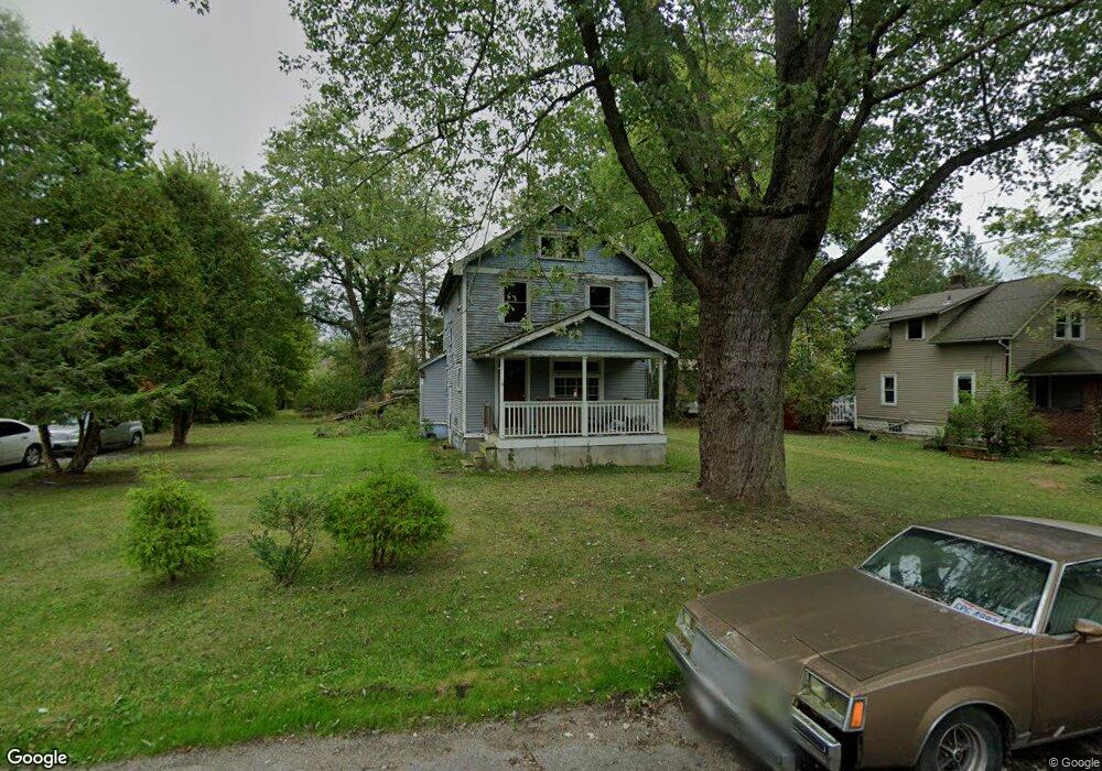
923 S Gray Ave Youngstown, OH 44505
Landsdowne NeighborhoodEstimated Value: $66,342 - $182,000
2
Beds
1
Bath
1,187
Sq Ft
$105/Sq Ft
Est. Value
About This Home
This home is located at 923 S Gray Ave, Youngstown, OH 44505 and is currently estimated at $124,171, approximately $104 per square foot. 923 S Gray Ave is a home located in Mahoning County with nearby schools including M.L. King Elementary School, East High School, and Youngstown Preparatory Academy.
Ownership History
Date
Name
Owned For
Owner Type
Purchase Details
Closed on
Oct 17, 1996
Sold by
Fay Edwin
Bought by
Alvarez Carlos J and Rodriguez Yarira
Current Estimated Value
Home Financials for this Owner
Home Financials are based on the most recent Mortgage that was taken out on this home.
Original Mortgage
$15,300
Interest Rate
8.44%
Mortgage Type
New Conventional
Purchase Details
Closed on
Sep 6, 1989
Bought by
Fay Edwin
Create a Home Valuation Report for This Property
The Home Valuation Report is an in-depth analysis detailing your home's value as well as a comparison with similar homes in the area
Home Values in the Area
Average Home Value in this Area
Purchase History
| Date | Buyer | Sale Price | Title Company |
|---|---|---|---|
| Alvarez Carlos J | $17,000 | -- | |
| Fay Edwin | -- | -- |
Source: Public Records
Mortgage History
| Date | Status | Borrower | Loan Amount |
|---|---|---|---|
| Closed | Alvarez Carlos J | $15,300 |
Source: Public Records
Tax History Compared to Growth
Tax History
| Year | Tax Paid | Tax Assessment Tax Assessment Total Assessment is a certain percentage of the fair market value that is determined by local assessors to be the total taxable value of land and additions on the property. | Land | Improvement |
|---|---|---|---|---|
| 2024 | $5 | $110 | $110 | -- |
| 2023 | $5 | $110 | $110 | $0 |
| 2022 | $6 | $90 | $90 | $0 |
| 2021 | $6,669 | $90 | $90 | $0 |
| 2020 | $120 | $1,900 | $240 | $1,660 |
| 2019 | $127 | $1,760 | $220 | $1,540 |
| 2018 | $148 | $1,760 | $220 | $1,540 |
| 2017 | $125 | $1,760 | $220 | $1,540 |
| 2016 | $125 | $1,900 | $220 | $1,680 |
| 2015 | $129 | $1,900 | $220 | $1,680 |
| 2014 | $122 | $1,900 | $220 | $1,680 |
| 2013 | $120 | $1,900 | $220 | $1,680 |
Source: Public Records
Map
Nearby Homes
- 902 Miami St
- 1325 Miami Ave
- 566 Sunshine Ave
- 405 Drake Ave
- 1538 Republic Ave
- 1214 Brighton St
- 598 Cassius Ave
- 1720 Jacobs Rd
- 3209 Castalia Ave
- 2160 Lansdowne Blvd
- 0 Mccartney Rd Unit 5030673
- 3244 Nelson Ave
- 217 S Jackson St
- 0 Homestead Rd
- V/L Jacobs Rd
- 250 Harold Ln
- OL 38 Mccartney Rd
- 325 S Jackson St
- 200 Hamrock Dr
- 2951 Megan Cir
- 915 S Gray Ave
- 920 Devon Ave
- 918 Devon Ave
- 2307 McGuffey Rd
- 916 Devon Ave
- 920 S Gray Ave
- 2319 McGuffey Rd
- 916 S Gray Ave
- 907 S Gray Ave
- 2323 McGuffey Rd
- 903 S Gray Ave
- 904 S Gray Ave
- 2279 McGuffey Rd
- 923 Devon Ave
- 917 Devon Ave
- 923 Colby Ave
- 915 Colby Ave
- 2312 McGuffey Rd
- 905 Colby Ave
- 2355 McGuffey Rd