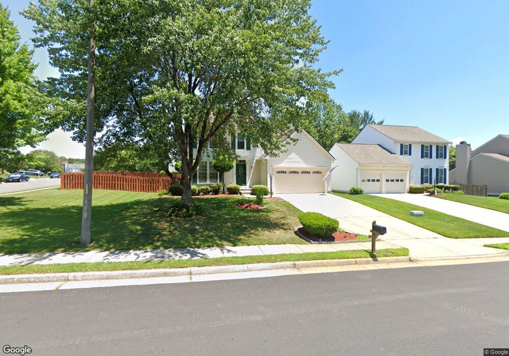
9239 Matthew Dr Manassas Park, VA 20111
Bloom Crossing NeighborhoodEstimated Value: $664,018 - $712,000
4
Beds
4
Baths
1,992
Sq Ft
$343/Sq Ft
Est. Value
About This Home
This home is located at 9239 Matthew Dr, Manassas Park, VA 20111 and is currently estimated at $683,505, approximately $343 per square foot. 9239 Matthew Dr is a home located in Manassas Park City with nearby schools including Cougar Elementary School, Manassas Park Elementary School, and Manassas Park Middle School.
Ownership History
Date
Name
Owned For
Owner Type
Purchase Details
Closed on
Jan 14, 1994
Sold by
Grp Ryland
Bought by
Hall Francis G
Current Estimated Value
Home Financials for this Owner
Home Financials are based on the most recent Mortgage that was taken out on this home.
Original Mortgage
$174,533
Interest Rate
7.22%
Create a Home Valuation Report for This Property
The Home Valuation Report is an in-depth analysis detailing your home's value as well as a comparison with similar homes in the area
Home Values in the Area
Average Home Value in this Area
Purchase History
| Date | Buyer | Sale Price | Title Company |
|---|---|---|---|
| Hall Francis G | $172,950 | -- |
Source: Public Records
Mortgage History
| Date | Status | Borrower | Loan Amount |
|---|---|---|---|
| Closed | Hall Francis G | $174,533 |
Source: Public Records
Tax History Compared to Growth
Tax History
| Year | Tax Paid | Tax Assessment Tax Assessment Total Assessment is a certain percentage of the fair market value that is determined by local assessors to be the total taxable value of land and additions on the property. | Land | Improvement |
|---|---|---|---|---|
| 2025 | $7,314 | $647,700 | $191,300 | $456,400 |
| 2024 | $7,314 | $575,200 | $182,200 | $393,000 |
| 2023 | $7,314 | $522,900 | $173,500 | $349,400 |
| 2022 | $6,770 | $493,300 | $165,200 | $328,100 |
| 2021 | $6,473 | $432,700 | $143,600 | $289,100 |
| 2020 | $6,230 | $408,200 | $132,900 | $275,300 |
| 2019 | $6,230 | $392,500 | $121,900 | $270,600 |
| 2018 | $5,650 | $377,400 | $121,900 | $255,500 |
| 2017 | $5,571 | $362,800 | $121,900 | $240,900 |
| 2016 | $5,540 | $357,400 | $121,900 | $235,500 |
| 2015 | $5,017 | $357,400 | $121,900 | $235,500 |
| 2014 | $5,017 | $335,200 | $121,900 | $213,300 |
Source: Public Records
Map
Nearby Homes
- 9302 Nancy St
- 9193 Matthew Dr
- 9404 Buckhall Farm Ct
- 9183 Matthew Dr
- 9006 Phita Ln
- 9264 Kristy Dr
- 9097 Belo Gate Dr
- 9353 Cougar Ct
- 9508 Walker Way
- 9524 Birmingham Dr
- 9720 Holmes Place Unit 2
- 9720 Holmes Place Unit 4
- 9722 Holmes Place Unit 203
- 9224 Cynthia St
- 9209 Golf Ct
- 9700 Elzey Place Unit 302
- 9710 Handerson Place Unit 302
- 9305 Shannon St
- 9748 Corbett Cir
- 9800 Pickens Place
- 9241 Matthew Dr
- 9300 Steve St
- 9237 Matthew Dr
- 9243 Matthew Dr
- 9302 Steve St
- 9240 Matthew Dr
- 9238 Matthew Dr
- 9242 Matthew Dr
- 9269 Matthew Dr
- 9308 Paul Dr
- 9301 S Whitt Dr
- 9304 Steve St
- 9305 S Whitt Dr
- 9236 Matthew Dr
- 9245 Matthew Dr
- 8107 Glenbrook Ct
- 7181 Brooking Way
- 9244 Matthew Dr
- 9305 Steve St
- 9231 Matthew Dr