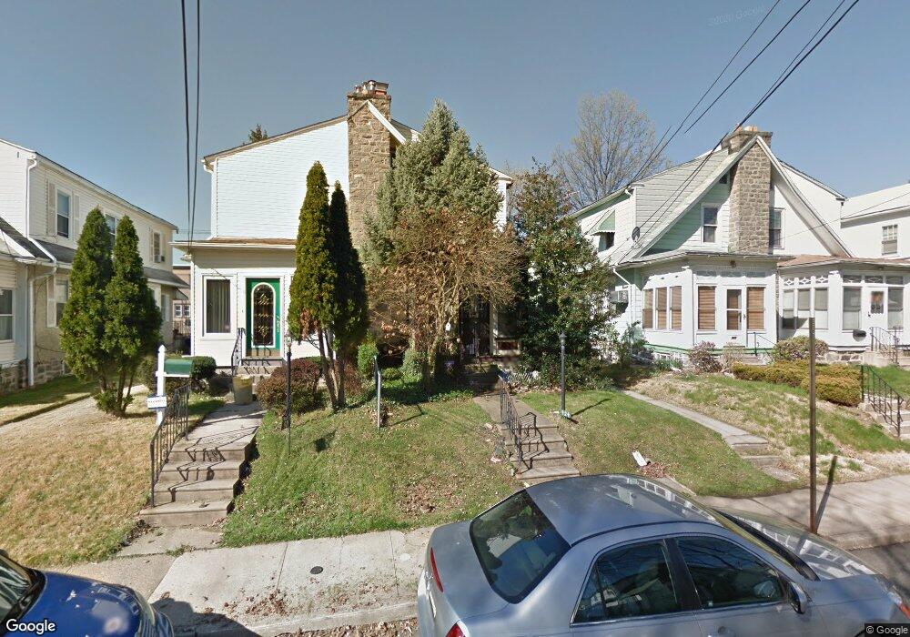
924 Bullock Ave Lansdowne, PA 19050
Estimated Value: $192,000 - $216,000
3
Beds
1
Bath
1,210
Sq Ft
$171/Sq Ft
Est. Value
About This Home
This home is located at 924 Bullock Ave, Lansdowne, PA 19050 and is currently estimated at $206,545, approximately $170 per square foot. 924 Bullock Ave is a home located in Delaware County with nearby schools including Evans Elementary School, Penn Wood Middle School, and Penn Wood High School - Cypress Street Campus.
Ownership History
Date
Name
Owned For
Owner Type
Purchase Details
Closed on
Feb 22, 2024
Sold by
Jones-Porter Annmarie C
Bought by
Jones Annmarie C
Current Estimated Value
Purchase Details
Closed on
Jan 31, 2019
Sold by
Costantini Leo
Bought by
Jones Porter Annmarie C and Porter Hector A
Purchase Details
Closed on
Mar 28, 1978
Sold by
Costantini Joan and Costantini Leo
Bought by
Costantini Leo and Costantini Joan
Create a Home Valuation Report for This Property
The Home Valuation Report is an in-depth analysis detailing your home's value as well as a comparison with similar homes in the area
Home Values in the Area
Average Home Value in this Area
Purchase History
| Date | Buyer | Sale Price | Title Company |
|---|---|---|---|
| Jones Annmarie C | -- | None Listed On Document | |
| Jones Annmarie C | -- | None Listed On Document | |
| Jones Porter Annmarie C | $55,000 | Chase Abstract Company | |
| Costantini Leo | -- | -- |
Source: Public Records
Tax History Compared to Growth
Tax History
| Year | Tax Paid | Tax Assessment Tax Assessment Total Assessment is a certain percentage of the fair market value that is determined by local assessors to be the total taxable value of land and additions on the property. | Land | Improvement |
|---|---|---|---|---|
| 2025 | $4,384 | $102,660 | $32,410 | $70,250 |
| 2024 | $4,384 | $102,660 | $32,410 | $70,250 |
| 2023 | $3,981 | $102,660 | $32,410 | $70,250 |
| 2022 | $3,796 | $102,660 | $32,410 | $70,250 |
| 2021 | $5,741 | $102,660 | $32,410 | $70,250 |
| 2020 | $3,816 | $61,100 | $18,700 | $42,400 |
| 2019 | $3,749 | $61,100 | $18,700 | $42,400 |
| 2018 | $3,697 | $61,100 | $0 | $0 |
| 2017 | $3,619 | $61,100 | $0 | $0 |
| 2016 | $335 | $61,100 | $0 | $0 |
| 2015 | $342 | $61,100 | $0 | $0 |
| 2014 | $335 | $61,100 | $0 | $0 |
Source: Public Records
Map
Nearby Homes
- 921 Serrill Ave
- 908 Yeadon Ave
- 939 Serrill Ave
- 808 Serrill Ave
- 923 Bell Ave
- 800 Bullock Ave
- 825 Laurel Rd
- 1049 Yeadon Ave
- 813 Arbor Rd
- 740 Church Ln
- 722 Yeadon Ave
- 711 Yeadon Ave Unit 1
- 6718 Cobbs Creek Pkwy
- 6535 Windsor St
- 702 Cedar Ave
- 6951 Chester Ave
- 6835 Chester Ave
- 1781 S 65th St
- 6564 Belmar St
- 1016 Whitby Ave
- 926 Bullock Ave
- 922 Bullock Ave
- 920 Bullock Ave
- 928 Bullock Ave
- 918 Bullock Ave
- 930 Bullock Ave
- 916 Bullock Ave
- 925 Yeadon Ave
- 923 Yeadon Ave
- 927 Yeadon Ave
- 921 Yeadon Ave
- 929 Yeadon Ave
- 919 Yeadon Ave
- 914 Bullock Ave
- 934 Bullock Ave
- 931 Yeadon Ave
- 917 Yeadon Ave
- 933 Yeadon Ave
- 912 Bullock Ave
- 936 Bullock Ave