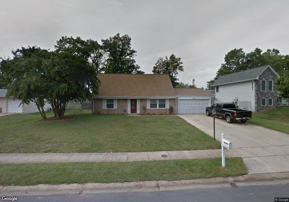
924 Sloan Ave Waldorf, MD 20602
Estimated Value: $381,000 - $451,000
--
Bed
2
Baths
2,301
Sq Ft
$182/Sq Ft
Est. Value
About This Home
This home is located at 924 Sloan Ave, Waldorf, MD 20602 and is currently estimated at $417,970, approximately $181 per square foot. 924 Sloan Ave is a home located in Charles County with nearby schools including Dr. Samuel A. Mudd Elementary School, John Hanson Middle School, and Thomas Stone High School.
Ownership History
Date
Name
Owned For
Owner Type
Purchase Details
Closed on
Dec 20, 2001
Sold by
Federal National Mortgage Association
Bought by
Mcbride Chip L and Mcbride Allison M
Current Estimated Value
Purchase Details
Closed on
Aug 10, 2001
Sold by
Ludwick Max E and Ludwick Margaret
Bought by
Federal National Mortgage Association
Create a Home Valuation Report for This Property
The Home Valuation Report is an in-depth analysis detailing your home's value as well as a comparison with similar homes in the area
Home Values in the Area
Average Home Value in this Area
Purchase History
| Date | Buyer | Sale Price | Title Company |
|---|---|---|---|
| Mcbride Chip L | $139,900 | -- | |
| Federal National Mortgage Association | $144,320 | -- |
Source: Public Records
Mortgage History
| Date | Status | Borrower | Loan Amount |
|---|---|---|---|
| Closed | Mcbride Chip L | -- |
Source: Public Records
Tax History Compared to Growth
Tax History
| Year | Tax Paid | Tax Assessment Tax Assessment Total Assessment is a certain percentage of the fair market value that is determined by local assessors to be the total taxable value of land and additions on the property. | Land | Improvement |
|---|---|---|---|---|
| 2025 | $10,715 | $364,333 | -- | -- |
| 2024 | $4,677 | $350,400 | $125,000 | $225,400 |
| 2023 | $4,387 | $323,067 | $0 | $0 |
| 2022 | $4,059 | $295,733 | $0 | $0 |
| 2021 | $3,670 | $268,400 | $95,000 | $173,400 |
| 2020 | $3,670 | $261,667 | $0 | $0 |
| 2019 | $3,664 | $254,933 | $0 | $0 |
| 2018 | $3,535 | $248,200 | $90,000 | $158,200 |
| 2017 | $3,344 | $234,300 | $0 | $0 |
| 2016 | -- | $220,400 | $0 | $0 |
| 2015 | $3,152 | $206,500 | $0 | $0 |
| 2014 | $3,152 | $206,500 | $0 | $0 |
Source: Public Records
Map
Nearby Homes
- 0 Smallwood Dr Unit MDCH2031694
- 302 Barksdale Ave
- 221 Brent Rd
- 1016 Stone Ave
- 314 Rivermont Dr
- 228 Garner Ave
- 139 Garner Ave
- 137 Garner Ave
- 110 Sherman Rd
- 307 Tompkins Ln
- 1115 Hamlin Rd
- 717 Barrington Dr
- 801 Roxbury Ct
- 2625 Ferguson Ct
- 119 Jefferson Rd
- 1205 Adams Ct
- 790 University Dr
- 3864 Kelly Green Place
- 22 Amwich Ct
- 3893 Light Arms Place
- 926 Sloan Ave
- 922 Sloan Ave
- 905 Prentiss Rd
- 907 Prentiss Rd
- 920 Sloan Ave
- 903 Prentiss Rd
- 228 Barksdale Ave
- 226 Barksdale Ave
- 929 Sloan Ave
- 927 Sloan Ave
- 925 Sloan Ave
- 931 Sloan Ave
- 224 Barksdale Ave
- 901 Prentiss Rd
- 232 Barksdale Ave
- 918 Sloan Ave
- 923 Sloan Ave
- 234 Barksdale Ave
- 4500 Printers #4506 Ct
- 906 Prentiss Rd