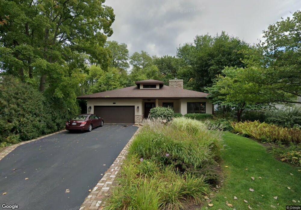
927 Laurel Ave Woodstock, IL 60098
Estimated Value: $316,000 - $457,000
2
Beds
2
Baths
2,189
Sq Ft
$186/Sq Ft
Est. Value
About This Home
This home is located at 927 Laurel Ave, Woodstock, IL 60098 and is currently estimated at $407,675, approximately $186 per square foot. 927 Laurel Ave is a home located in McHenry County with nearby schools including Dean Street Elementary School, Creekside Middle School, and Woodstock High School.
Ownership History
Date
Name
Owned For
Owner Type
Purchase Details
Closed on
Sep 30, 2019
Sold by
Schubert Leslie A
Bought by
Murray Thomas A and Murray Susan M
Current Estimated Value
Home Financials for this Owner
Home Financials are based on the most recent Mortgage that was taken out on this home.
Original Mortgage
$253,800
Outstanding Balance
$223,995
Interest Rate
3.87%
Mortgage Type
New Conventional
Estimated Equity
$183,680
Purchase Details
Closed on
Feb 13, 2012
Sold by
Schubert Larry C and Schubert Leslie A
Bought by
Schubert Larry C and Larry C Schubert Declaration Of Trust
Purchase Details
Closed on
Nov 30, 1992
Sold by
Mohapp Mark J
Bought by
Schubert Larry C and Schubert Leslie Ann
Create a Home Valuation Report for This Property
The Home Valuation Report is an in-depth analysis detailing your home's value as well as a comparison with similar homes in the area
Home Values in the Area
Average Home Value in this Area
Purchase History
| Date | Buyer | Sale Price | Title Company |
|---|---|---|---|
| Murray Thomas A | $317,500 | Heritage Title Company | |
| Schubert Larry C | -- | None Available | |
| Schubert Larry C | $95,500 | -- |
Source: Public Records
Mortgage History
| Date | Status | Borrower | Loan Amount |
|---|---|---|---|
| Open | Murray Thomas A | $253,800 |
Source: Public Records
Tax History Compared to Growth
Tax History
| Year | Tax Paid | Tax Assessment Tax Assessment Total Assessment is a certain percentage of the fair market value that is determined by local assessors to be the total taxable value of land and additions on the property. | Land | Improvement |
|---|---|---|---|---|
| 2024 | $10,337 | $128,192 | $8,786 | $119,406 |
| 2023 | $10,558 | $115,927 | $7,945 | $107,982 |
| 2022 | $10,417 | $107,031 | $7,051 | $99,980 |
| 2021 | $11,286 | $112,944 | $6,588 | $106,356 |
| 2020 | $10,886 | $107,320 | $6,260 | $101,060 |
| 2019 | $10,032 | $102,444 | $5,976 | $96,468 |
| 2018 | $8,917 | $91,000 | $6,817 | $84,183 |
| 2017 | $8,731 | $85,647 | $6,416 | $79,231 |
| 2016 | $8,620 | $79,303 | $5,941 | $73,362 |
| 2013 | -- | $74,345 | $11,131 | $63,214 |
Source: Public Records
Map
Nearby Homes
- 331 Chestnut St
- 601 S Jefferson St
- 908 Bunker St
- 434 Lake Ave
- 330 Lake Ave
- 1380 Sandpiper Ln
- 415 Dean St
- 155 Lee Ann Ln
- 104 Stewart Ave
- 125 Forest Ave
- 9999 E Calhoun St
- 421 W Kimball Ave
- 722 E Calhoun St
- 2007 Edgewood Dr
- 200 E Judd St
- 1288 Prairie Ridge Trail
- 3848 Riverwoods Dr
- 3902 Riverwoods Dr
- 3842 Riverwoods Dr
- 3839 Riverwoods Dr
- 921 Laurel Ave
- 601 E Kimball Ave
- 607 E Kimball Ave
- 915 Laurel Ave
- 521 E Kimball Ave
- 930 Laurel Ave
- 909 Laurel Ave
- Lot 1 E Kimball Ave
- 430 Oakwood Ave
- 515 E Kimball Ave
- 827 Laurel Ave
- 509 E Kimball Ave
- 532 E Kimball Ave
- 618 E Kimball Ave
- 526 E Kimball Ave
- 431 Oakwood Ave
- 821 Laurel Ave
- 520 E Kimball Ave
- 620 E Kimball Ave
- 514 E Kimball Ave