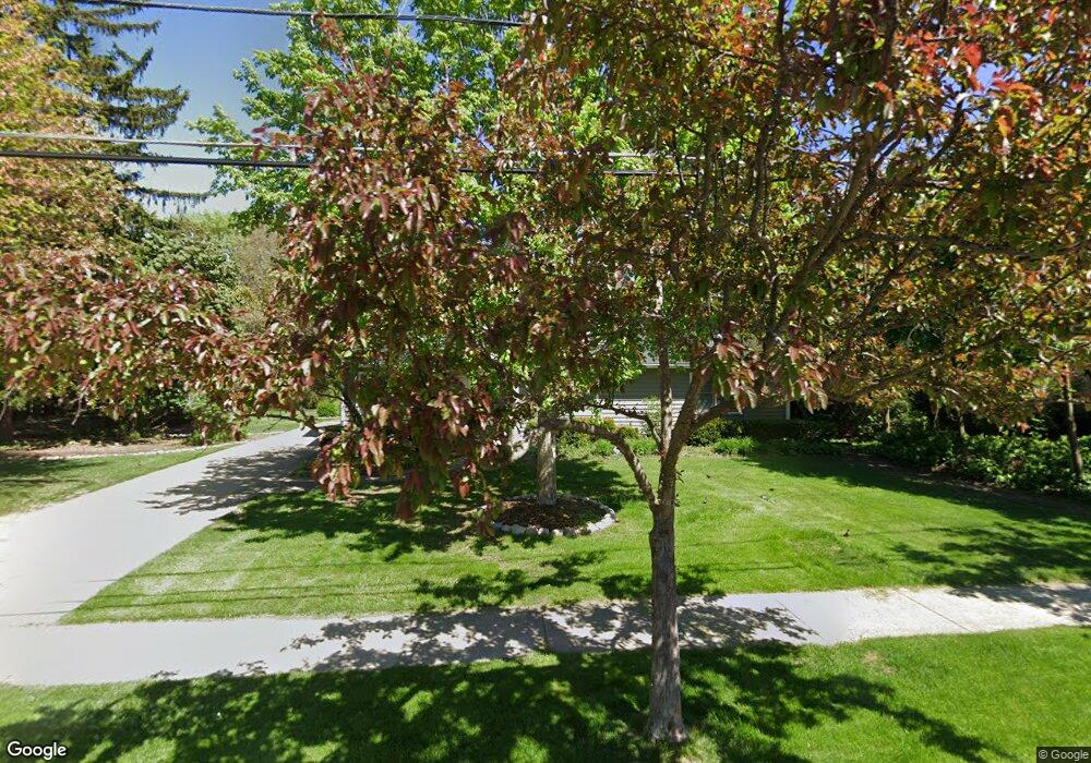
927 Stoddard Ave Wheaton, IL 60187
Hawthorne NeighborhoodEstimated Value: $747,000 - $760,280
4
Beds
3
Baths
2,692
Sq Ft
$280/Sq Ft
Est. Value
About This Home
This home is located at 927 Stoddard Ave, Wheaton, IL 60187 and is currently estimated at $753,570, approximately $279 per square foot. 927 Stoddard Ave is a home located in DuPage County with nearby schools including Washington Elementary School, Newark Elementary School, and Franklin Middle School.
Ownership History
Date
Name
Owned For
Owner Type
Purchase Details
Closed on
Aug 5, 2025
Sold by
Uhrich Diane
Bought by
Uhrich William G
Current Estimated Value
Purchase Details
Closed on
Jun 11, 1999
Sold by
Ballent William A and Ballent Marjorie N
Bought by
Uhrich William G and Uhrich Diane
Home Financials for this Owner
Home Financials are based on the most recent Mortgage that was taken out on this home.
Original Mortgage
$300,000
Interest Rate
3.95%
Create a Home Valuation Report for This Property
The Home Valuation Report is an in-depth analysis detailing your home's value as well as a comparison with similar homes in the area
Home Values in the Area
Average Home Value in this Area
Purchase History
| Date | Buyer | Sale Price | Title Company |
|---|---|---|---|
| Uhrich William G | -- | None Listed On Document | |
| Uhrich William G | $445,000 | 1St American Title |
Source: Public Records
Mortgage History
| Date | Status | Borrower | Loan Amount |
|---|---|---|---|
| Previous Owner | Uhrich William G | $300,000 |
Source: Public Records
Tax History Compared to Growth
Tax History
| Year | Tax Paid | Tax Assessment Tax Assessment Total Assessment is a certain percentage of the fair market value that is determined by local assessors to be the total taxable value of land and additions on the property. | Land | Improvement |
|---|---|---|---|---|
| 2024 | $13,489 | $217,290 | $50,376 | $166,914 |
| 2023 | $12,976 | $200,010 | $46,370 | $153,640 |
| 2022 | $12,676 | $189,030 | $43,820 | $145,210 |
| 2021 | $12,636 | $184,540 | $42,780 | $141,760 |
| 2020 | $12,598 | $182,820 | $42,380 | $140,440 |
| 2019 | $12,313 | $177,990 | $41,260 | $136,730 |
| 2018 | $11,467 | $164,320 | $38,870 | $125,450 |
| 2017 | $9,990 | $158,260 | $37,440 | $120,820 |
| 2016 | $9,858 | $151,930 | $35,940 | $115,990 |
| 2015 | $9,786 | $144,950 | $34,290 | $110,660 |
| 2014 | $10,425 | $150,630 | $42,200 | $108,430 |
| 2013 | $10,157 | $134,980 | $42,330 | $92,650 |
Source: Public Records
Map
Nearby Homes
- 1106 E North Path
- 719 N President St
- 1623 Sawyer Ave
- 230 Duane St Unit 3A
- 460 Pennsylvania Ave Unit C
- 300 Duane St Unit 3
- 808 Bridle Ln
- 312 E Lincoln Ave
- 315 E Union Ave
- 393 Duane St Unit 203
- 1115 N Main St
- 1108 N Main St
- 305 Maple St
- 353 E Liberty Dr
- 114 W Prairie Ave
- 451 Duane St
- 722 E Indiana St
- 453 Anthony St
- 314 Brookside Cir
- 831 Avon Ct
- 925 Stoddard Ave
- 924 Stoddard Ave
- 1013 Stoddard Ave
- 1002 Stoddard Ave
- 1006 Stoddard Ave
- 1214 E Forest Ave
- 916 Stoddard Ave
- 1010 Stoddard Ave
- 1203 E Harrison Ave
- 912 Stoddard Ave
- 1021 Stoddard Ave
- 1220 E Forest Ave
- 1016 Stoddard Ave
- 1225 E Harrison Ave
- 908 Stoddard Ave
- 925 Eddy Ct
- 1020 Stoddard Ave
- 1001 Eddy Ct
- 1302 E Forest Ave
- 919 Eddy Ct