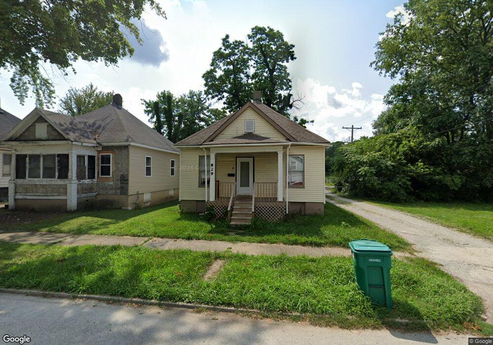
929 N Pine St Decatur, IL 62522
Garfield Park NeighborhoodEstimated Value: $31,000 - $48,000
--
Bed
--
Bath
896
Sq Ft
$42/Sq Ft
Est. Value
About This Home
This home is located at 929 N Pine St, Decatur, IL 62522 and is currently estimated at $37,796, approximately $42 per square foot. 929 N Pine St is a home located in Macon County with nearby schools including Stephen Decatur Middle School, St. Patrick School, and Teen Challenge-Home For Girls.
Ownership History
Date
Name
Owned For
Owner Type
Purchase Details
Closed on
Mar 11, 2024
Sold by
Witherspoon Martez
Bought by
Ellzey Thomas V
Current Estimated Value
Purchase Details
Closed on
Apr 12, 2022
Sold by
Reed Kundne
Bought by
Witherspoon Martez
Purchase Details
Closed on
Feb 10, 2021
Sold by
Macon County
Bought by
Reed Kendria
Purchase Details
Closed on
Oct 15, 2020
Sold by
Macon County Clerk
Bought by
Macon County
Purchase Details
Closed on
Apr 13, 2016
Sold by
Chorus Homes Llc
Bought by
Birgen Properties Inc
Home Financials for this Owner
Home Financials are based on the most recent Mortgage that was taken out on this home.
Original Mortgage
$29,142
Interest Rate
3.73%
Mortgage Type
Unknown
Purchase Details
Closed on
Dec 1, 2012
Create a Home Valuation Report for This Property
The Home Valuation Report is an in-depth analysis detailing your home's value as well as a comparison with similar homes in the area
Home Values in the Area
Average Home Value in this Area
Purchase History
| Date | Buyer | Sale Price | Title Company |
|---|---|---|---|
| Ellzey Thomas V | -- | None Listed On Document | |
| Witherspoon Martez | -- | None Listed On Document | |
| Reed Kendria | -- | None Available | |
| Macon County | -- | None Available | |
| Birgen Properties Inc | -- | None Available | |
| -- | -- | -- |
Source: Public Records
Mortgage History
| Date | Status | Borrower | Loan Amount |
|---|---|---|---|
| Previous Owner | Birgen Properties Inc | $29,142 |
Source: Public Records
Tax History Compared to Growth
Tax History
| Year | Tax Paid | Tax Assessment Tax Assessment Total Assessment is a certain percentage of the fair market value that is determined by local assessors to be the total taxable value of land and additions on the property. | Land | Improvement |
|---|---|---|---|---|
| 2024 | $528 | $5,459 | $437 | $5,022 |
| 2023 | -- | $117 | $59 | $58 |
| 2022 | $0 | $110 | $55 | $55 |
| 2021 | $0 | $102 | $51 | $51 |
| 2020 | $0 | $0 | $0 | $0 |
| 2019 | $515 | $4,844 | $349 | $4,495 |
| 2018 | $545 | $5,187 | $176 | $5,011 |
| 2017 | $558 | $5,326 | $181 | $5,145 |
| 2016 | $568 | $5,380 | $183 | $5,197 |
| 2015 | $540 | $5,285 | $180 | $5,105 |
| 2014 | $444 | $4,598 | $202 | $4,396 |
| 2013 | $455 | $4,771 | $210 | $4,561 |
Source: Public Records
Map
Nearby Homes
- 875 N Monroe St
- 837 W Grand Ave
- 415 W Green St
- 1065 W Green St
- 844 N Edward St
- 1245 N Union St
- 958 W William St
- 254 N Pine St
- 609 W William St
- 1545 N Monroe St
- 1504 N Monroe St
- 422 W William St
- 917 N Wilder Ave
- 330 W William St
- 717 W Prairie Ave Unit 2
- 452 W Prairie Ave
- 442 W Prairie Ave
- 233 N Edward St
- 1458 N Union St
- 141 E Packard St