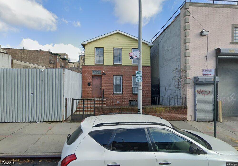
93 Sheffield Ave Brooklyn, NY 11207
Brownsville NeighborhoodEstimated Value: $600,757 - $723,000
--
Bed
--
Bath
1,270
Sq Ft
$535/Sq Ft
Est. Value
About This Home
This home is located at 93 Sheffield Ave, Brooklyn, NY 11207 and is currently estimated at $679,939, approximately $535 per square foot. 93 Sheffield Ave is a home located in Kings County with nearby schools including J.H.S 292 Margaret S. Douglas, Uncommon Schools Leadership Preparatory Ocean Hill Charter School, and Hyde Leadership Charter School-Brooklyn.
Ownership History
Date
Name
Owned For
Owner Type
Purchase Details
Closed on
Sep 10, 2010
Sold by
Coll Maria
Bought by
Juana Realty Llc
Current Estimated Value
Home Financials for this Owner
Home Financials are based on the most recent Mortgage that was taken out on this home.
Original Mortgage
$153,000
Outstanding Balance
$100,671
Interest Rate
4.37%
Mortgage Type
Purchase Money Mortgage
Estimated Equity
$579,268
Create a Home Valuation Report for This Property
The Home Valuation Report is an in-depth analysis detailing your home's value as well as a comparison with similar homes in the area
Home Values in the Area
Average Home Value in this Area
Purchase History
| Date | Buyer | Sale Price | Title Company |
|---|---|---|---|
| Juana Realty Llc | $160,000 | -- |
Source: Public Records
Mortgage History
| Date | Status | Borrower | Loan Amount |
|---|---|---|---|
| Open | Juana Realty Llc | $153,000 |
Source: Public Records
Tax History Compared to Growth
Tax History
| Year | Tax Paid | Tax Assessment Tax Assessment Total Assessment is a certain percentage of the fair market value that is determined by local assessors to be the total taxable value of land and additions on the property. | Land | Improvement |
|---|---|---|---|---|
| 2025 | $1,993 | $38,280 | $13,800 | $24,480 |
| 2024 | $1,993 | $35,040 | $13,800 | $21,240 |
| 2023 | $1,906 | $42,960 | $13,800 | $29,160 |
| 2022 | $1,683 | $47,040 | $13,800 | $33,240 |
| 2021 | $1,754 | $36,300 | $13,800 | $22,500 |
| 2020 | $1,327 | $30,300 | $13,800 | $16,500 |
| 2019 | $1,730 | $30,300 | $13,800 | $16,500 |
| 2018 | $1,594 | $7,820 | $2,953 | $4,867 |
| 2017 | $1,509 | $7,401 | $3,510 | $3,891 |
| 2016 | $1,396 | $6,984 | $3,403 | $3,581 |
| 2015 | $842 | $6,966 | $3,177 | $3,789 |
| 2014 | $842 | $6,890 | $2,869 | $4,021 |
Source: Public Records
Map
Nearby Homes
- 124 Pennsylvania Ave
- 2573 Atlantic Ave
- 100 Williams Ave
- 45 Hinsdale St
- 90 Wyona St
- 159 Wyona St
- 95 Wyona St
- 22 Hinsdale St
- 57 Wyona St
- 2735 Fulton St
- 207 Bradford St
- 243 Wyona St
- 35 Wyona St
- 168 Miller Ave
- 52 Bradford St
- 34&36 Marginal St
- 174 van Siclen Ave
- 297 Pennsylvania Ave
- 459 Belmont Ave
- 52 van Siclen Ave
- 97 Sheffield Ave
- 91 Sheffield Ave
- 99 Sheffield Ave
- 2620 Atlantic Ave
- 107 Sheffield Ave
- 2618 Atlantic Ave
- 104 Pennsylvania Ave
- 2624 Atlantic Ave
- 109 Sheffield Ave
- 110 Pennsylvania Ave
- 106 Pennsylvania Ave
- 2628 Atlantic Ave
- 118 Pennsylvania Ave
- 111 Sheffield Ave
- 2632-2634 Atlantic Ave
- 2612 Atlantic Ave
- 122 Pennsylvania Ave
- 2630 Atlantic Ave
- 115 Sheffield Ave
- 2610 Atlantic Ave Unit 3