931 S Bird St Sun Prairie, WI 53590
Estimated Value: $754,354
2
Beds
1
Bath
1,828
Sq Ft
$413/Sq Ft
Est. Value
About This Home
This home is located at 931 S Bird St, Sun Prairie, WI 53590 and is currently estimated at $754,354, approximately $412 per square foot. 931 S Bird St is a home located in Dane County with nearby schools including Northside Elementary School, Central Heights Middle School, and Sun Prairie East High School.
Ownership History
Date
Name
Owned For
Owner Type
Purchase Details
Closed on
May 31, 2017
Sold by
Thurston Charles P and Charles P Thurston Trust
Bought by
Bauer Dennis B
Current Estimated Value
Home Financials for this Owner
Home Financials are based on the most recent Mortgage that was taken out on this home.
Original Mortgage
$325,000
Outstanding Balance
$270,332
Interest Rate
4.02%
Mortgage Type
Future Advance Clause Open End Mortgage
Estimated Equity
$484,022
Purchase Details
Closed on
Jun 2, 2016
Sold by
Koch Joan
Bought by
Charles P Thurston Trust
Purchase Details
Closed on
Nov 8, 2013
Sold by
Thurston Ronald E
Bought by
Thurston Trust Dated November 8 2013
Create a Home Valuation Report for This Property
The Home Valuation Report is an in-depth analysis detailing your home's value as well as a comparison with similar homes in the area
Home Values in the Area
Average Home Value in this Area
Purchase History
| Date | Buyer | Sale Price | Title Company |
|---|---|---|---|
| Bauer Dennis B | $425,000 | None Available | |
| Charles P Thurston Trust | -- | Attorney | |
| Thurston Trust Dated November 8 2013 | $334,200 | -- |
Source: Public Records
Mortgage History
| Date | Status | Borrower | Loan Amount |
|---|---|---|---|
| Open | Bauer Dennis B | $325,000 |
Source: Public Records
Tax History Compared to Growth
Tax History
| Year | Tax Paid | Tax Assessment Tax Assessment Total Assessment is a certain percentage of the fair market value that is determined by local assessors to be the total taxable value of land and additions on the property. | Land | Improvement |
|---|---|---|---|---|
| 2024 | $14,681 | $752,000 | $309,300 | $442,700 |
| 2023 | $13,439 | $752,000 | $309,300 | $442,700 |
| 2021 | $10,226 | $468,000 | $231,200 | $236,800 |
| 2020 | $10,331 | $468,000 | $231,200 | $236,800 |
| 2019 | $12,875 | $515,300 | $231,200 | $284,100 |
| 2018 | $7,676 | $330,000 | $133,300 | $196,700 |
| 2017 | $6,296 | $287,100 | $133,300 | $153,800 |
| 2016 | $8,124 | $335,400 | $181,900 | $153,500 |
| 2015 | $7,736 | $335,400 | $181,900 | $153,500 |
| 2014 | $7,765 | $334,200 | $181,900 | $152,300 |
| 2013 | $8,910 | $334,200 | $181,900 | $152,300 |
Source: Public Records
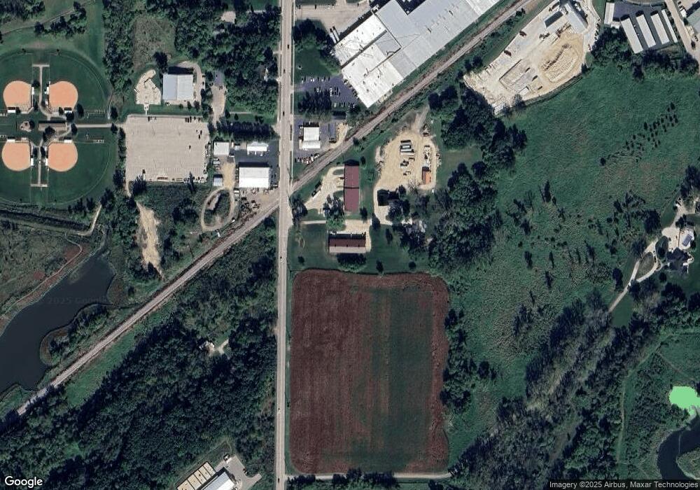
Map
Nearby Homes
- 709 Linnerud Dr
- 600 Linnerud Dr
- 1402 Andaman St
- 924 Walker Ct
- 916 Ring St
- 1033 Lothe St
- 200 Queens St
- 903 Clarmar Dr
- 1339 Heritage Ln
- 530 W Main St
- 1443 Buena Vista Dr
- 1767 Sapphire Way
- 147 Flint St
- 201 E Lane St Unit 202
- 1125 Hickory Hills Dr
- 1133 Hickory Hills Dr
- 1157 Hickory Hills Dr
- 1149 Hickory Hills Dr
- 2543 Water Lily Cir
- 2560 Water Lily Cir
- 899 S Bird St
- 5800 S Bird St
- 955 S Bird St
- 0 S Bird St
- 14.92 Acres S Bird St
- 5927 S Bird St
- 5931 S Bird St
- 746 S Bird St
- 5865 S Bird St
- 752 S Bird St
- 515 Marshview Dr
- 701 Linnerud Dr
- 625 Linnerud Dr
- 617 Linnerud Dr Unit 1
- 717 Linnerud Dr
- 601 Linnerud Dr Unit 1
- 999 S Bird St
- 601 S Bird St
- 21.39 a S Bird St
- 541 S Bird St