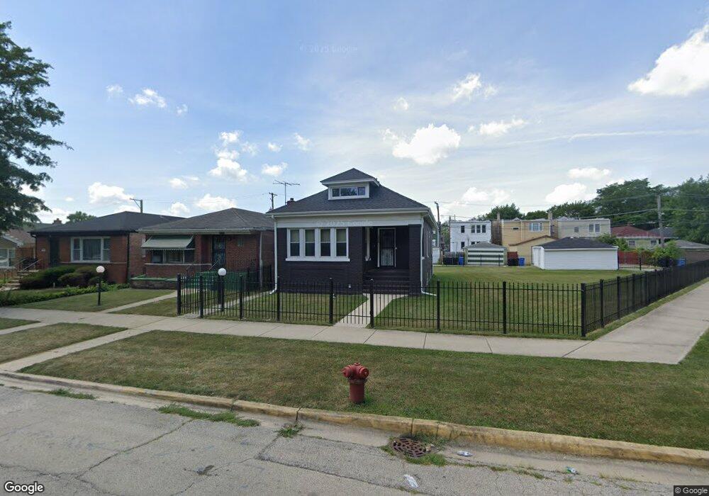
9324 S Saint Lawrence Ave Chicago, IL 60619
Roseland NeighborhoodEstimated Value: $110,000 - $298,000
3
Beds
1
Bath
984
Sq Ft
$188/Sq Ft
Est. Value
About This Home
This home is located at 9324 S Saint Lawrence Ave, Chicago, IL 60619 and is currently estimated at $185,226, approximately $188 per square foot. 9324 S Saint Lawrence Ave is a home located in Cook County with nearby schools including Gillespie Elementary School, Harlan Community Academy High School, and Christian S T E M Scholars.
Ownership History
Date
Name
Owned For
Owner Type
Purchase Details
Closed on
Dec 8, 2006
Sold by
White Stanley
Bought by
Us Bank Na and Trust #8195
Current Estimated Value
Purchase Details
Closed on
Jun 27, 2004
Sold by
White Stanley
Bought by
Washington Myra
Purchase Details
Closed on
Jun 27, 2001
Sold by
White Stanley
Bought by
Washington Myra
Purchase Details
Closed on
Dec 27, 1998
Sold by
Sterling M J
Bought by
White Stanley
Purchase Details
Closed on
Jun 27, 1998
Sold by
White Stanley
Bought by
Sterling M J
Create a Home Valuation Report for This Property
The Home Valuation Report is an in-depth analysis detailing your home's value as well as a comparison with similar homes in the area
Home Values in the Area
Average Home Value in this Area
Purchase History
| Date | Buyer | Sale Price | Title Company |
|---|---|---|---|
| Us Bank Na | -- | None Available | |
| Washington Myra | $1,000 | -- | |
| Washington Myra | -- | -- | |
| White Stanley | -- | -- | |
| Sterling M J | -- | -- |
Source: Public Records
Tax History Compared to Growth
Tax History
| Year | Tax Paid | Tax Assessment Tax Assessment Total Assessment is a certain percentage of the fair market value that is determined by local assessors to be the total taxable value of land and additions on the property. | Land | Improvement |
|---|---|---|---|---|
| 2024 | $736 | $12,000 | $5,999 | $6,001 |
| 2023 | $740 | $12,000 | $8,184 | $3,816 |
| 2022 | $740 | $12,000 | $8,184 | $3,816 |
| 2021 | $704 | $12,000 | $8,184 | $3,816 |
| 2020 | $727 | $10,427 | $6,547 | $3,880 |
| 2019 | $725 | $11,459 | $6,547 | $4,912 |
| 2018 | $714 | $11,459 | $6,547 | $4,912 |
| 2017 | $764 | $12,893 | $5,728 | $7,165 |
| 2016 | $1,180 | $12,893 | $5,728 | $7,165 |
| 2015 | $1,134 | $12,893 | $5,728 | $7,165 |
| 2014 | $1,124 | $11,271 | $4,910 | $6,361 |
| 2013 | $1,128 | $11,271 | $4,910 | $6,361 |
Source: Public Records
Map
Nearby Homes
- 9311 S Burnside Ave
- 9302 S Eberhart Ave
- 605 E 92nd Place
- 627 E 92nd Place
- 9300 S Vernon Ave
- 9418 S Champlain Ave
- 9425 S Vernon Ave
- 543 E 91st Place
- 9326 S King Dr
- 9220 S King Dr
- 521 E 91st St
- 549 E 91st St
- 715 E 91st Place
- 710 E 95th St
- 9400 S Calumet Ave
- 728 E 95th St
- 9422 S Calumet Ave
- 730 E 95th St
- 9259 S Cottage Grove Ave
- 9215 S Cottage Grove Ave Unit 2W
- 9328 S Saint Lawrence Ave
- 9330 S Saint Lawrence Ave
- 9334 S Saint Lawrence Ave
- 9323 S Rhodes Ave
- 9323 S Rhodes Ave
- 9317 S Rhodes Ave
- 9317 S Rhodes Ave
- 9329 S Rhodes Ave
- 9319 S Rhodes Ave
- 9325 S Rhodes Ave
- 9336 S Saint Lawrence Ave
- 9305 S Rhodes Ave
- 9333 S Rhodes Ave
- 9340 S Saint Lawrence Ave
- 9335 S Rhodes Ave
- 9311 S Rhodes Ave
- 9315 S St Lawrence St
- 9342 S Saint Lawrence Ave
- 9303 S Burnside Ave
- 9341 S Rhodes Ave