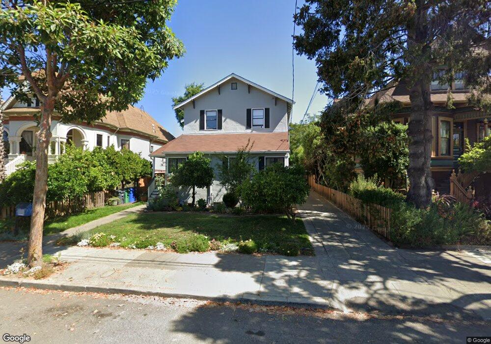
935 Taylor Ave Alameda, CA 94501
West Alameda NeighborhoodEstimated Value: $1,187,000 - $1,532,441
4
Beds
1
Bath
2,320
Sq Ft
$593/Sq Ft
Est. Value
About This Home
This home is located at 935 Taylor Ave, Alameda, CA 94501 and is currently estimated at $1,376,610, approximately $593 per square foot. 935 Taylor Ave is a home located in Alameda County with nearby schools including Maya Lin School, Encinal Junior/Senior High, and Will C. Wood Middle School.
Ownership History
Date
Name
Owned For
Owner Type
Purchase Details
Closed on
Mar 10, 2017
Sold by
Hamm Gregory and Ingmire Wanda
Bought by
Briggs Mary and Cleminshaw Duncan
Current Estimated Value
Home Financials for this Owner
Home Financials are based on the most recent Mortgage that was taken out on this home.
Original Mortgage
$375,000
Outstanding Balance
$311,143
Interest Rate
4.19%
Mortgage Type
New Conventional
Estimated Equity
$1,065,467
Purchase Details
Closed on
May 14, 1997
Sold by
Torrison Roger L and Roger L Torrison Trust
Bought by
Sullivan Kathleen C and Tanner Marilyn G
Create a Home Valuation Report for This Property
The Home Valuation Report is an in-depth analysis detailing your home's value as well as a comparison with similar homes in the area
Home Values in the Area
Average Home Value in this Area
Purchase History
| Date | Buyer | Sale Price | Title Company |
|---|---|---|---|
| Briggs Mary | $975,000 | Placer Title Company | |
| Sullivan Kathleen C | -- | -- |
Source: Public Records
Mortgage History
| Date | Status | Borrower | Loan Amount |
|---|---|---|---|
| Open | Briggs Mary | $375,000 |
Source: Public Records
Tax History Compared to Growth
Tax History
| Year | Tax Paid | Tax Assessment Tax Assessment Total Assessment is a certain percentage of the fair market value that is determined by local assessors to be the total taxable value of land and additions on the property. | Land | Improvement |
|---|---|---|---|---|
| 2025 | $16,428 | $1,131,545 | $509,195 | $622,350 |
| 2024 | $16,428 | $1,109,364 | $499,214 | $610,150 |
| 2023 | $15,795 | $1,087,611 | $489,425 | $598,186 |
| 2022 | $15,438 | $1,066,289 | $479,830 | $586,459 |
| 2021 | $15,055 | $1,045,384 | $470,423 | $574,961 |
| 2020 | $14,868 | $1,034,669 | $465,601 | $569,068 |
| 2019 | $14,120 | $1,014,389 | $456,475 | $557,914 |
| 2018 | $13,761 | $994,500 | $447,525 | $546,975 |
| 2017 | $5,451 | $296,530 | $94,552 | $201,978 |
| 2016 | $5,432 | $290,716 | $92,698 | $198,018 |
| 2015 | $5,403 | $286,350 | $91,306 | $195,044 |
| 2014 | $5,246 | $280,741 | $89,518 | $191,223 |
Source: Public Records
Map
Nearby Homes
- 1512 Mozart St
- 1523 Verdi St
- 1059 Santa Clara Ave
- 1220 9th St
- 1301 9th St
- 1017 Lincoln Ave
- 901 San Antonio Ave
- 830 Buena Vista Ave
- 1203 Benton St
- 711 Haight Ave
- 1606 Morton St
- 1834 8th St
- 1305 Webster St Unit C309
- 1305 Webster St Unit C102
- 1412 Pacific Ave
- 1333 Webster St Unit A107
- 1321 Webster St Unit D119
- 1321 Webster St Unit D116
- 1321 Webster St Unit D303
- 1327 Webster St Unit B210
- 933 Taylor Ave
- 939 Taylor Ave
- 931 Taylor Ave
- 943 Taylor Ave
- 929 Taylor Ave
- 944 Santa Clara Ave
- 946 Santa Clara Ave
- 940 Santa Clara Ave
- 1423 Caroline St Unit C
- 1423 Caroline St
- 938 Santa Clara Ave
- 950 Santa Clara Ave
- 927 Taylor Ave
- 934 Santa Clara Ave
- 1421 Caroline St
- 925 Taylor Ave
- 1442 Caroline St
- 1444 Caroline St
- 1440 Caroline St
- 938 Taylor Ave