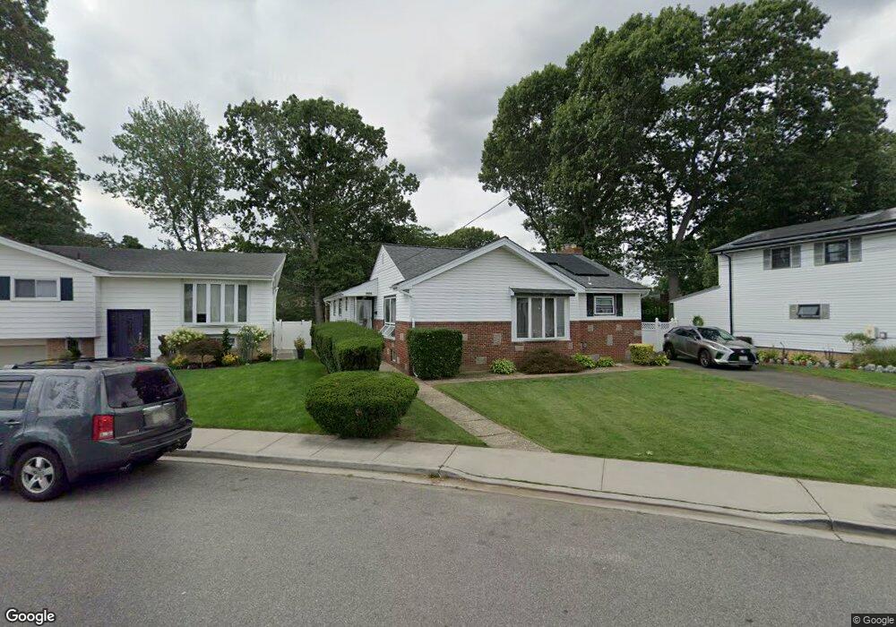
938 Derrick Adkins Ln West Hempstead, NY 11552
Estimated Value: $771,000 - $804,623
--
Bed
2
Baths
2,143
Sq Ft
$368/Sq Ft
Est. Value
About This Home
This home is located at 938 Derrick Adkins Ln, West Hempstead, NY 11552 and is currently estimated at $787,812, approximately $367 per square foot. 938 Derrick Adkins Ln is a home located in Nassau County with nearby schools including Davison Avenue Intermediate School, Maurice W. Downing Primary K-2 School, and Howard T Herber Middle School.
Ownership History
Date
Name
Owned For
Owner Type
Purchase Details
Closed on
May 5, 2011
Sold by
Enwere Iheanyichukwu and Enwere Charity
Bought by
Enwere Charity
Current Estimated Value
Purchase Details
Closed on
May 13, 2004
Sold by
Brown Carlton
Bought by
Enwere Iheanyichukwu
Purchase Details
Closed on
Nov 28, 1997
Sold by
Johnson Owen
Bought by
Brown Carlton and Brown Sandra
Create a Home Valuation Report for This Property
The Home Valuation Report is an in-depth analysis detailing your home's value as well as a comparison with similar homes in the area
Home Values in the Area
Average Home Value in this Area
Purchase History
| Date | Buyer | Sale Price | Title Company |
|---|---|---|---|
| Enwere Charity | -- | -- | |
| Enwere Iheanyichukwu | $349,999 | -- | |
| Brown Carlton | $190,000 | -- |
Source: Public Records
Tax History Compared to Growth
Tax History
| Year | Tax Paid | Tax Assessment Tax Assessment Total Assessment is a certain percentage of the fair market value that is determined by local assessors to be the total taxable value of land and additions on the property. | Land | Improvement |
|---|---|---|---|---|
| 2025 | $16,433 | $550 | $204 | $346 |
| 2024 | $5,599 | $550 | $204 | $346 |
| 2023 | $16,120 | $550 | $204 | $346 |
| 2022 | $16,120 | $549 | $204 | $345 |
| 2021 | $22,051 | $518 | $192 | $326 |
| 2020 | $16,592 | $839 | $397 | $442 |
| 2019 | $16,734 | $839 | $397 | $442 |
| 2018 | $15,801 | $839 | $0 | $0 |
| 2017 | $9,375 | $839 | $397 | $442 |
| 2016 | $14,310 | $839 | $397 | $442 |
| 2015 | $4,618 | $839 | $397 | $442 |
| 2014 | $4,618 | $839 | $397 | $442 |
| 2013 | $4,349 | $839 | $397 | $442 |
Source: Public Records
Map
Nearby Homes
- 919 Pinelake Dr
- 924 Otsego Ct
- 9 Coral Ct
- 401 Ocean Ave
- 1025 Ontario Rd
- 10 Atlas Ave
- 486 Champlain Ave
- 7 Hopatcong Ave
- 1024 Mahopac Rd
- 4 Malverne Ave
- 1070 Mahopac Rd
- 0 Rhodes Ln
- 26 Parkside Rd
- 71 Dogwood Ave
- 461 Pinebrook Ave
- 450 Rhodes Ln
- 95 Dogwood Ave
- 81 Gerard Ave W
- 10 Pinebrook Ave
- 394 Pinebrook Ave
- 944 Derrick Adkins Ln
- 932 Derrick Adkins Ln
- 911 Pinelake Dr
- 926 Derrick Adkins Ln
- 950 Derrick Adkins Ln
- 935 Pinelake Dr
- 929 Pinelake Dr
- 123 Pinelake Dr
- 945 Derrick Adkins Ln
- 939 Derrick Adkins Ln
- 933 Derrick Adkins Ln
- 956 Derrick Adkins Ln
- 951 Derrick Adkins Ln
- 958 Derrick Adkins Ln
- 895 Pinelake Dr
- 927 Derrick Adkins Ln
- 3 Pinelake Dr
- 77 Pinelake Dr
- 921 Derrick Adkins Ln
- 914 Pinelake Dr