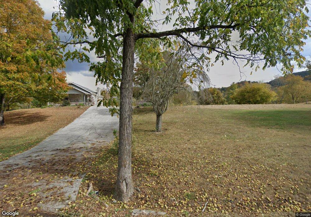
9392 Graves Rd Maynardville, TN 37807
Paulette NeighborhoodEstimated Value: $171,000 - $263,000
--
Bed
1
Bath
1,176
Sq Ft
$185/Sq Ft
Est. Value
About This Home
This home is located at 9392 Graves Rd, Maynardville, TN 37807 and is currently estimated at $217,000, approximately $184 per square foot. 9392 Graves Rd is a home located in Union County with nearby schools including Paulette Elementary School, Union County High School, and H Maynard Middle School.
Ownership History
Date
Name
Owned For
Owner Type
Purchase Details
Closed on
May 30, 2024
Sold by
Mchaffie Hope
Bought by
Mchaffie Elmer
Current Estimated Value
Purchase Details
Closed on
Nov 18, 2019
Sold by
Middleton Clarence Curtis
Bought by
Mchaffie Elmer Lynn
Purchase Details
Closed on
Apr 18, 2007
Sold by
Janice Middleton
Bought by
Curtis Middleton Clarence
Purchase Details
Closed on
Oct 25, 2005
Sold by
Unmarried Middleton Janice
Bought by
Curtis Middleton Clarence
Purchase Details
Closed on
Jul 26, 1971
Bought by
Middleton Paul and Middleton Janice
Create a Home Valuation Report for This Property
The Home Valuation Report is an in-depth analysis detailing your home's value as well as a comparison with similar homes in the area
Home Values in the Area
Average Home Value in this Area
Purchase History
| Date | Buyer | Sale Price | Title Company |
|---|---|---|---|
| Mchaffie Elmer | -- | None Listed On Document | |
| Mchaffie Elmer Lynn | $36,400 | Warranty Title Ins Co Inc | |
| Mchaffie Elmer Lynn | $36,400 | Warranty Title Ins Co Inc | |
| Curtis Middleton Clarence | $1,000 | -- | |
| Curtis Middleton Clarence | $1,000 | -- | |
| Curtis Middleton Clarence | $1,000 | -- | |
| Curtis Middleton Clarence | $1,000 | -- | |
| Middleton Paul | -- | -- | |
| Middleton Paul | -- | -- |
Source: Public Records
Tax History Compared to Growth
Tax History
| Year | Tax Paid | Tax Assessment Tax Assessment Total Assessment is a certain percentage of the fair market value that is determined by local assessors to be the total taxable value of land and additions on the property. | Land | Improvement |
|---|---|---|---|---|
| 2024 | $595 | $31,325 | $8,725 | $22,600 |
| 2023 | $0 | $33,200 | $8,725 | $24,475 |
| 2022 | $528 | $33,200 | $8,725 | $24,475 |
| 2021 | $542 | $25,350 | $7,575 | $17,775 |
| 2020 | $575 | $25,350 | $7,575 | $17,775 |
| 2019 | $575 | $25,350 | $7,575 | $17,775 |
| 2018 | $575 | $26,875 | $9,100 | $17,775 |
| 2017 | $575 | $26,875 | $9,100 | $17,775 |
| 2016 | $609 | $28,075 | $12,725 | $15,350 |
| 2015 | $609 | $28,075 | $12,725 | $15,350 |
| 2014 | $506 | $28,069 | $0 | $0 |
Source: Public Records
Map
Nearby Homes
- 213 Brock Rd
- 211 Jamie St
- 215 Jamie St
- 7725 Texas Valley Rd
- 9024 Welch Rd
- 8210 Wood Rd
- 9211 Brock Rd
- 9210 Brock Rd
- 275 Dogwood Ln
- 0 Satterfield Rd Unit 1313221
- 254 Dogwood Ln
- 7439 Haley Ln
- 112 Dogwood St
- L-7 Williams Dr
- 00 Old Tazewell Pike
- 8127 Campbells Point Rd
- 323 Maynardville Hwy
- 346 Wolfenbarger Ln
- 8012 Campbells Point Rd
- 0 Campbells Point Rd
- 9375 Graves Rd
- 0 Graves Unit 777616
- 9426 Graves Rd
- 9376 Graves Rd
- 9356 Graves Rd
- 9365 Graves Rd
- 9430 Graves Rd
- 9438 Graves Rd
- 9342 Graves Rd
- 9450 Graves Rd
- 9283 Graves Rd
- 961 Satterfield Rd
- 969 Satterfield Rd
- 955 Satterfield Rd
- 949 Satterfield Rd
- 911 Satterfield Rd
- 962 Satterfield Rd
- 120 Snyder Ln
- 9334 Graves Rd
- 934 Satterfield Rd